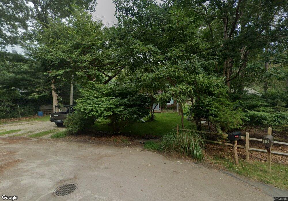
8 Randall Rd Southampton, NY 11968
Estimated Value: $911,000 - $1,386,000
2
Beds
1
Bath
1,120
Sq Ft
$971/Sq Ft
Est. Value
About This Home
This home is located at 8 Randall Rd, Southampton, NY 11968 and is currently estimated at $1,087,306, approximately $970 per square foot. 8 Randall Rd is a home located in Suffolk County with nearby schools including Southampton Elementary School, Southampton Intermediate School, and Southampton High School.
Ownership History
Date
Name
Owned For
Owner Type
Purchase Details
Closed on
Dec 17, 1999
Sold by
Erickson Jollyn D
Bought by
Trizzino Joseph J
Current Estimated Value
Home Financials for this Owner
Home Financials are based on the most recent Mortgage that was taken out on this home.
Original Mortgage
$126,000
Outstanding Balance
$39,057
Interest Rate
7.73%
Mortgage Type
Purchase Money Mortgage
Estimated Equity
$1,048,249
Create a Home Valuation Report for This Property
The Home Valuation Report is an in-depth analysis detailing your home's value as well as a comparison with similar homes in the area
Home Values in the Area
Average Home Value in this Area
Purchase History
| Date | Buyer | Sale Price | Title Company |
|---|---|---|---|
| Trizzino Joseph J | $140,000 | First American Title Ins Co |
Source: Public Records
Mortgage History
| Date | Status | Borrower | Loan Amount |
|---|---|---|---|
| Open | Trizzino Joseph J | $126,000 |
Source: Public Records
Tax History Compared to Growth
Tax History
| Year | Tax Paid | Tax Assessment Tax Assessment Total Assessment is a certain percentage of the fair market value that is determined by local assessors to be the total taxable value of land and additions on the property. | Land | Improvement |
|---|---|---|---|---|
| 2024 | -- | $559,800 | $393,600 | $166,200 |
| 2023 | -- | $559,800 | $393,600 | $166,200 |
| 2022 | $1,734 | $559,800 | $393,600 | $166,200 |
| 2021 | $1,734 | $559,800 | $393,600 | $166,200 |
| 2020 | $2,225 | $559,800 | $393,600 | $166,200 |
| 2019 | $2,225 | $0 | $0 | $0 |
| 2018 | -- | $454,600 | $302,800 | $151,800 |
| 2017 | $1,936 | $454,600 | $302,800 | $151,800 |
| 2016 | $1,686 | $386,400 | $257,400 | $129,000 |
| 2015 | -- | $386,400 | $257,400 | $129,000 |
| 2014 | -- | $386,400 | $257,400 | $129,000 |
Source: Public Records
Map
Nearby Homes
- 18 Lake Side Dr
- 484 N Magee St
- 1106 N Sea Rd
- 30 Fords Ln
- 436 N Magee St
- 515 N Magee St
- 155 Little Fresh Pond Rd
- 195 Little Fresh Pond Rd
- 6 Millstone Dr
- 8 Lois Ln
- 176 Marys Ln
- 32 Harrison Ave
- 28 Apple Rd
- 1680 N Sea Rd
- 340 N Magee St
- 601 Majors Path
- 4 White Oak Ln
- 620 Majors Path
- 32 Andrew Ct
- 20 Gianna Ct Unit 20
- 6 Randall Rd
- 12 Randall Rd
- 7 Randall Rd
- 11 Randall Rd
- 4 Randall Rd
- 5 Randall Rd
- 6 Missapoque Ct
- 3 Randall Rd
- 10 Missapoque Ct
- 100 Big Fresh Pond Rd
- 148 Big Fresh Pond Rd
- 106 Big Fresh Pond Rd
- 152 Big Fresh Pond Rd
- 14 Randall Rd
- 144 Big Fresh Pond Rd
- 78 Big Fresh Pond Rd
- 4 Missapoque Ct
- 158 Big Fresh Pond Rd
- 138 Big Fresh Pond Rd
- 99 Big Fresh Pond Rd