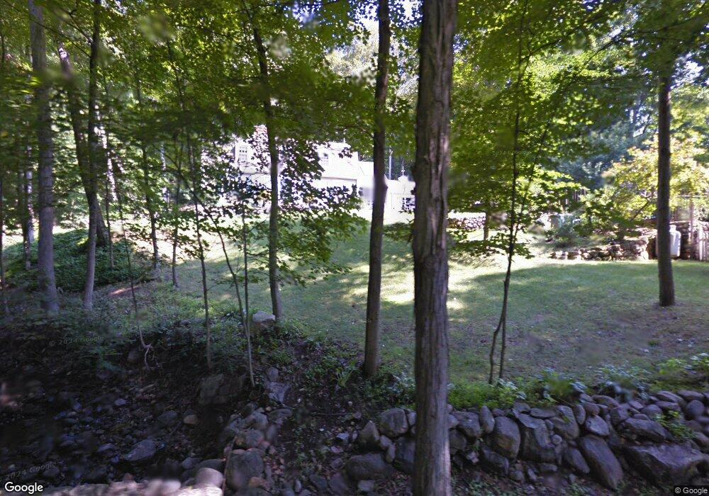
8 River Rd Weston, CT 06883
Estimated Value: $1,244,171 - $1,595,000
4
Beds
3
Baths
3,300
Sq Ft
$436/Sq Ft
Est. Value
About This Home
This home is located at 8 River Rd, Weston, CT 06883 and is currently estimated at $1,440,043, approximately $436 per square foot. 8 River Rd is a home located in Fairfield County with nearby schools including Hurlbutt Elementary School, Weston Intermediate School, and Weston Middle School.
Ownership History
Date
Name
Owned For
Owner Type
Purchase Details
Closed on
Mar 1, 2004
Sold by
Burke-Sullivan Daniel and Sullivan Christine B
Bought by
Welsh-Lehman Ralph C and Welsh-Lehman Mary Ewino
Current Estimated Value
Purchase Details
Closed on
Jul 23, 1998
Sold by
Bennewitz Daniel
Bought by
Burke-Sullivan Daniel and Burke-Sullivan C
Purchase Details
Closed on
Aug 2, 1994
Sold by
Cerussi Joan and Troxell Gerald
Bought by
Bennewitz Daniel and Bennewitz Karen
Create a Home Valuation Report for This Property
The Home Valuation Report is an in-depth analysis detailing your home's value as well as a comparison with similar homes in the area
Home Values in the Area
Average Home Value in this Area
Purchase History
| Date | Buyer | Sale Price | Title Company |
|---|---|---|---|
| Welsh-Lehman Ralph C | $885,000 | -- | |
| Burke-Sullivan Daniel | $605,000 | -- | |
| Bennewitz Daniel | $517,500 | -- |
Source: Public Records
Mortgage History
| Date | Status | Borrower | Loan Amount |
|---|---|---|---|
| Open | Bennewitz Daniel | $250,000 | |
| Closed | Bennewitz Daniel | $225,000 | |
| Closed | Bennewitz Daniel | $250,000 |
Source: Public Records
Tax History
| Year | Tax Paid | Tax Assessment Tax Assessment Total Assessment is a certain percentage of the fair market value that is determined by local assessors to be the total taxable value of land and additions on the property. | Land | Improvement |
|---|---|---|---|---|
| 2025 | $14,508 | $607,040 | $238,700 | $368,340 |
| 2024 | $14,247 | $607,040 | $238,700 | $368,340 |
| 2023 | $16,253 | $491,630 | $238,700 | $252,930 |
| 2022 | $16,209 | $491,630 | $238,700 | $252,930 |
| 2021 | $16,184 | $491,630 | $238,700 | $252,930 |
| 2020 | $15,914 | $491,630 | $238,700 | $252,930 |
| 2019 | $15,914 | $491,630 | $238,700 | $252,930 |
| 2018 | $14,589 | $496,400 | $260,800 | $235,600 |
| 2017 | $14,351 | $496,400 | $260,800 | $235,600 |
| 2016 | $14,177 | $496,400 | $260,800 | $235,600 |
| 2015 | $14,276 | $496,400 | $260,800 | $235,600 |
| 2014 | $14,018 | $496,400 | $260,800 | $235,600 |
Source: Public Records
Map
Nearby Homes
- 4 Good Hill Rd
- 35 Joanne Ln
- 282 North Ave
- 278 North Ave
- 30 Cavalry Rd
- 319 Bayberry Ln
- 25 Hermit Ln
- 1 Greenlea Ln
- 93 E Meadow Rd
- 9 Greenbrier Rd
- 214 Good Hill Rd
- 10 Charcoal Hill Rd
- 126 Heather Ln
- 2 Rockyfield Rd
- 24 Warnock Dr
- 21 Warnock Dr
- 76 Sturges Ridge Rd
- 6 Downe Ln
- 6 Nutcracker Ln
- 381 Chestnut Hill Rd
- 5 River Rd
- 4 Hidden Hill Rd
- 11 River Rd
- 3 Ledgebrook Ct
- 18 Good Hill Rd
- 1 Ledgebrook Ct
- 1 River Rd
- 4 Ledgebrook Ct
- 5 Hidden Hill Rd
- 68 Weston Rd
- 24 Good Hill Rd
- 21 Good Hill Rd
- 19 Good Hill Rd
- 62 Weston Rd
- 8 Good Hill Rd
- 2 Ledgebrook Ct
- 28 Good Hill Rd
- 2 Old Weston Rd
- 5 Old Weston Rd
- 20 Hidden Hill Rd
Your Personal Tour Guide
Ask me questions while you tour the home.