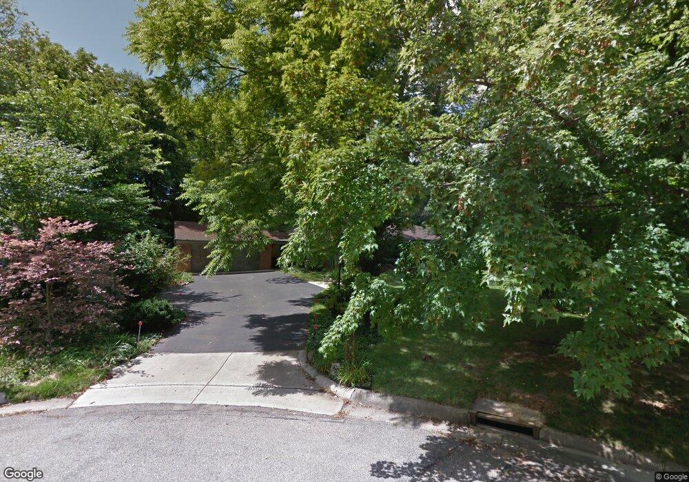
8 Robin Ct Oxford, OH 45056
Estimated Value: $389,000 - $505,000
3
Beds
3
Baths
2,405
Sq Ft
$185/Sq Ft
Est. Value
About This Home
This home is located at 8 Robin Ct, Oxford, OH 45056 and is currently estimated at $443,874, approximately $184 per square foot. 8 Robin Ct is a home located in Butler County with nearby schools including Talawanda Middle School, Talawanda High School, and Mcguffey Montessori School.
Ownership History
Date
Name
Owned For
Owner Type
Purchase Details
Closed on
Aug 13, 1999
Sold by
Wilson Alice S and Wilson Anita C
Bought by
Anderson Woodrow B and Anderson Beverly A
Current Estimated Value
Home Financials for this Owner
Home Financials are based on the most recent Mortgage that was taken out on this home.
Original Mortgage
$213,750
Outstanding Balance
$60,705
Interest Rate
7.5%
Mortgage Type
Purchase Money Mortgage
Estimated Equity
$383,169
Purchase Details
Closed on
Jul 21, 1997
Sold by
Anglin Darrell
Bought by
Wilson Alice S and Wilson Anita
Purchase Details
Closed on
Jul 1, 1988
Purchase Details
Closed on
Jul 1, 1987
Create a Home Valuation Report for This Property
The Home Valuation Report is an in-depth analysis detailing your home's value as well as a comparison with similar homes in the area
Home Values in the Area
Average Home Value in this Area
Purchase History
| Date | Buyer | Sale Price | Title Company |
|---|---|---|---|
| Anderson Woodrow B | $285,000 | -- | |
| Wilson Alice S | $264,900 | -- | |
| -- | $210,000 | -- | |
| -- | $205,000 | -- |
Source: Public Records
Mortgage History
| Date | Status | Borrower | Loan Amount |
|---|---|---|---|
| Open | Anderson Woodrow B | $213,750 |
Source: Public Records
Tax History Compared to Growth
Tax History
| Year | Tax Paid | Tax Assessment Tax Assessment Total Assessment is a certain percentage of the fair market value that is determined by local assessors to be the total taxable value of land and additions on the property. | Land | Improvement |
|---|---|---|---|---|
| 2024 | $4,737 | $138,020 | $23,460 | $114,560 |
| 2023 | $4,558 | $138,020 | $23,460 | $114,560 |
| 2022 | $3,314 | $94,080 | $23,460 | $70,620 |
| 2021 | $3,155 | $94,080 | $23,460 | $70,620 |
| 2020 | $3,299 | $94,080 | $23,460 | $70,620 |
| 2019 | $5,755 | $76,180 | $24,160 | $52,020 |
| 2018 | $2,749 | $76,180 | $24,160 | $52,020 |
| 2017 | $2,471 | $76,180 | $24,160 | $52,020 |
| 2016 | $2,364 | $71,180 | $24,160 | $47,020 |
| 2015 | $2,406 | $71,180 | $24,160 | $47,020 |
| 2014 | $2,837 | $71,180 | $24,160 | $47,020 |
| 2013 | $2,837 | $81,060 | $24,160 | $56,900 |
Source: Public Records
Map
Nearby Homes
- 7 Robin Ct
- 509 White Oak Dr
- 1020 Tollgate Dr
- 5 Quail Ridge Dr
- 446 Emerald Woods Dr
- 6171 Vereker Dr
- 812 Winding Brook Dr
- 60 Autumn Dr
- 715 W Chestnut St
- 620 Brill Dr
- 616 Brill Dr
- 100 Hilltop Rd
- 6101 Contreras Rd
- 118 Hilltop Rd
- 62 Great Horned Dr
- 53 Great Horned Dr
- 59 Great Horned Dr
- 74 Great Horned Dr
- 80 Great Horned Dr
- 71 Great Horned Dr
- 6 Robin Ct
- 11 Robin Ct
- 4 Robin Ct
- 108 Bull Run Dr
- 485 White Oak Dr
- 481 White Oak Dr
- 108 W Bull Run Dr
- 9 Robin Ct
- 489 White Oak Dr
- 477 White Oak Dr
- 1201 Tollgate Dr
- 1201 Tollgate Dr
- 5 Robin Ct
- 1205 Tollgate Dr
- 478 White Oak Dr
- 491 White Oak Dr
- 102 W Bull Run Dr
- 1127 Tollgate Dr
- 8 Bull Run Dr
- 6 Bull Run Dr