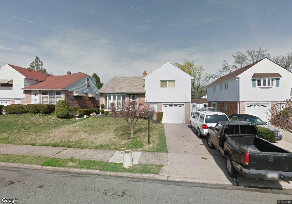
8 Robin Rd Lansdowne, PA 19050
Estimated Value: $290,416 - $364,000
4
Beds
3
Baths
1,765
Sq Ft
$180/Sq Ft
Est. Value
About This Home
This home is located at 8 Robin Rd, Lansdowne, PA 19050 and is currently estimated at $318,354, approximately $180 per square foot. 8 Robin Rd is a home located in Delaware County with nearby schools including Park Lane Elementary School, Penn Wood Middle School, and Penn Wood High School - Cypress Street Campus.
Ownership History
Date
Name
Owned For
Owner Type
Purchase Details
Closed on
Dec 4, 2006
Sold by
King Douglas Brian and King Patricia Annette
Bought by
Kemp Asher
Current Estimated Value
Home Financials for this Owner
Home Financials are based on the most recent Mortgage that was taken out on this home.
Original Mortgage
$225,000
Outstanding Balance
$135,193
Interest Rate
6.4%
Mortgage Type
Purchase Money Mortgage
Estimated Equity
$183,161
Purchase Details
Closed on
Dec 7, 2001
Sold by
King Douglas B and King Patricia A
Bought by
King Douglas Brian and King Patricia Annette
Home Financials for this Owner
Home Financials are based on the most recent Mortgage that was taken out on this home.
Original Mortgage
$96,000
Interest Rate
6.03%
Mortgage Type
Purchase Money Mortgage
Purchase Details
Closed on
Nov 20, 2000
Sold by
King Patricia A and King James Patricia
Bought by
King Douglas B and King Patricia A
Create a Home Valuation Report for This Property
The Home Valuation Report is an in-depth analysis detailing your home's value as well as a comparison with similar homes in the area
Home Values in the Area
Average Home Value in this Area
Purchase History
| Date | Buyer | Sale Price | Title Company |
|---|---|---|---|
| Kemp Asher | $225,000 | None Available | |
| King Douglas Brian | -- | T A Title Insurance Co | |
| King Douglas B | -- | -- |
Source: Public Records
Mortgage History
| Date | Status | Borrower | Loan Amount |
|---|---|---|---|
| Open | Kemp Asher | $225,000 | |
| Previous Owner | King Douglas Brian | $96,000 |
Source: Public Records
Tax History
| Year | Tax Paid | Tax Assessment Tax Assessment Total Assessment is a certain percentage of the fair market value that is determined by local assessors to be the total taxable value of land and additions on the property. | Land | Improvement |
|---|---|---|---|---|
| 2025 | $6,185 | $144,840 | $27,510 | $117,330 |
| 2024 | $6,185 | $144,840 | $27,510 | $117,330 |
| 2023 | $5,617 | $144,840 | $27,510 | $117,330 |
| 2022 | $5,356 | $144,840 | $27,510 | $117,330 |
| 2021 | $8,099 | $144,840 | $27,510 | $117,330 |
| 2020 | $6,675 | $106,890 | $24,350 | $82,540 |
| 2019 | $6,558 | $106,890 | $24,350 | $82,540 |
| 2018 | $6,467 | $106,890 | $0 | $0 |
| 2017 | $6,331 | $106,890 | $0 | $0 |
| 2016 | $587 | $106,890 | $0 | $0 |
| 2015 | $587 | $106,890 | $0 | $0 |
| 2014 | $587 | $106,890 | $0 | $0 |
Source: Public Records
Map
Nearby Homes
- 30 E Providence Rd
- 137 Elder Ave
- 103 Lincoln Ave
- 411 S Maple Ave
- 129 Branford Rd
- 192 Fairview Ave
- 1339 Park Ln
- 27 Concord Rd
- 17 Hillview Cir
- 1300 Wycombe Ave
- 33 Mermont Cir
- 1246 Wycombe Ave
- 1232 Edgehill Rd
- 234 Spring Valley Rd
- 105 Nyack Ave
- 1203 Edgehill Rd
- 46 S Maple Ave
- 16 S 13th St
- 530 Orchard Ave
- 1125 Main St
Your Personal Tour Guide
Ask me questions while you tour the home.