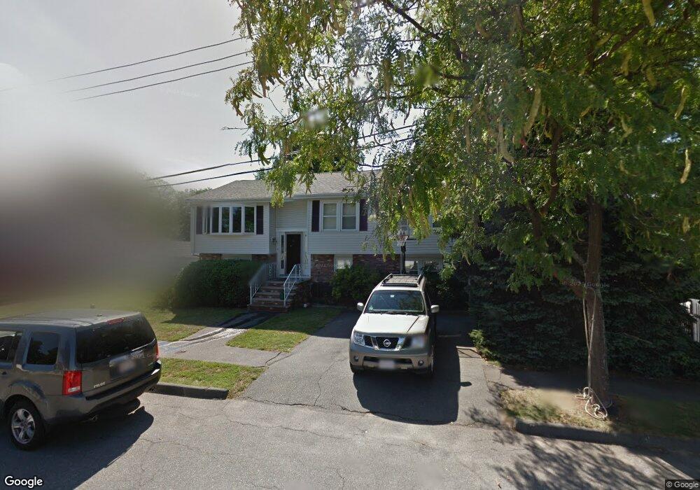
8 Robin Rd Peabody, MA 01960
South Peabody NeighborhoodEstimated Value: $740,315 - $845,000
4
Beds
2
Baths
2,132
Sq Ft
$368/Sq Ft
Est. Value
About This Home
This home is located at 8 Robin Rd, Peabody, MA 01960 and is currently estimated at $785,329, approximately $368 per square foot. 8 Robin Rd is a home located in Essex County with nearby schools including Peabody Veterans Memorial High School, Our Lady Of Assumption School, and St John The Baptist School.
Ownership History
Date
Name
Owned For
Owner Type
Purchase Details
Closed on
Nov 29, 1996
Sold by
Papa-Amoroso Joyce
Bought by
Shai David and Lanphear Christine
Current Estimated Value
Purchase Details
Closed on
Aug 16, 1991
Sold by
Huang Wen Bor
Bought by
Papa Amoro Joyce
Purchase Details
Closed on
May 29, 1987
Sold by
Perros George N
Bought by
Huang Wen Bor
Create a Home Valuation Report for This Property
The Home Valuation Report is an in-depth analysis detailing your home's value as well as a comparison with similar homes in the area
Home Values in the Area
Average Home Value in this Area
Purchase History
| Date | Buyer | Sale Price | Title Company |
|---|---|---|---|
| Shai David | $219,000 | -- | |
| Papa Amoro Joyce | $185,000 | -- | |
| Huang Wen Bor | $205,000 | -- |
Source: Public Records
Mortgage History
| Date | Status | Borrower | Loan Amount |
|---|---|---|---|
| Open | Huang Wen Bor | $167,000 | |
| Closed | Huang Wen Bor | $125,000 |
Source: Public Records
Tax History Compared to Growth
Tax History
| Year | Tax Paid | Tax Assessment Tax Assessment Total Assessment is a certain percentage of the fair market value that is determined by local assessors to be the total taxable value of land and additions on the property. | Land | Improvement |
|---|---|---|---|---|
| 2025 | $5,617 | $606,600 | $243,200 | $363,400 |
| 2024 | $5,624 | $616,700 | $243,200 | $373,500 |
| 2023 | $5,409 | $568,200 | $217,200 | $351,000 |
| 2022 | $5,132 | $508,100 | $193,900 | $314,200 |
| 2021 | $4,764 | $454,100 | $176,300 | $277,800 |
| 2020 | $4,974 | $463,100 | $176,300 | $286,800 |
| 2019 | $4,493 | $408,100 | $176,300 | $231,800 |
| 2018 | $4,369 | $381,200 | $160,300 | $220,900 |
| 2017 | $4,287 | $364,500 | $160,300 | $204,200 |
| 2016 | $4,038 | $338,800 | $160,300 | $178,500 |
| 2015 | $4,055 | $329,700 | $156,300 | $173,400 |
Source: Public Records
Map
Nearby Homes
- 12 Ronny Terrace
- 2 Scenic Rd
- 0 Felton Ave
- 46 Diane Rd
- 5 Quarry Terrace
- 2 Rose Cir
- 10 Ralph Rd
- 325 Den Quarry Rd
- 3 Winnegance Ave
- 262 Den Quarry Rd
- 16 Vieira Dr
- 1 Winnegance Ave
- 217 Cedar Brook Rd
- 24 Sunset Rd
- 100 Harris Rd
- 54 Harris Rd
- 714 Lynnfield St
- 1100 Salem St Unit 93
- 1100 Salem St Unit 75
- 1100 Salem St Unit 46