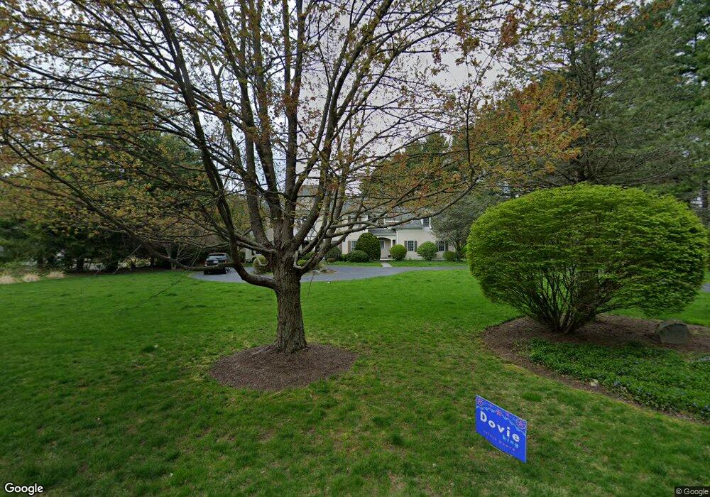
8 Rowan Field Rd Wayland, MA 01778
Estimated Value: $2,510,647 - $3,105,000
4
Beds
5
Baths
5,120
Sq Ft
$531/Sq Ft
Est. Value
About This Home
This home is located at 8 Rowan Field Rd, Wayland, MA 01778 and is currently estimated at $2,720,662, approximately $531 per square foot. 8 Rowan Field Rd is a home located in Middlesex County with nearby schools including Wayland High School and Veritas Christian Academy.
Ownership History
Date
Name
Owned For
Owner Type
Purchase Details
Closed on
Oct 6, 1997
Sold by
Conant Constr Inc
Bought by
Carp Jeffrey N and Berenson Patricia J
Current Estimated Value
Home Financials for this Owner
Home Financials are based on the most recent Mortgage that was taken out on this home.
Original Mortgage
$988,900
Outstanding Balance
$158,320
Interest Rate
7.41%
Mortgage Type
Purchase Money Mortgage
Estimated Equity
$2,562,342
Create a Home Valuation Report for This Property
The Home Valuation Report is an in-depth analysis detailing your home's value as well as a comparison with similar homes in the area
Home Values in the Area
Average Home Value in this Area
Purchase History
| Date | Buyer | Sale Price | Title Company |
|---|---|---|---|
| Carp Jeffrey N | $1,100,000 | -- |
Source: Public Records
Mortgage History
| Date | Status | Borrower | Loan Amount |
|---|---|---|---|
| Open | Carp Jeffrey N | $612,000 | |
| Open | Carp Jeffrey N | $988,900 |
Source: Public Records
Tax History Compared to Growth
Tax History
| Year | Tax Paid | Tax Assessment Tax Assessment Total Assessment is a certain percentage of the fair market value that is determined by local assessors to be the total taxable value of land and additions on the property. | Land | Improvement |
|---|---|---|---|---|
| 2025 | $37,948 | $2,427,900 | $713,000 | $1,714,900 |
| 2024 | $35,947 | $2,316,200 | $679,100 | $1,637,100 |
| 2023 | $33,247 | $1,996,800 | $619,000 | $1,377,800 |
| 2022 | $34,137 | $1,860,300 | $529,100 | $1,331,200 |
| 2021 | $18 | $1,822,200 | $491,000 | $1,331,200 |
| 2020 | $33,124 | $1,865,100 | $491,000 | $1,374,100 |
| 2019 | $32,495 | $1,777,600 | $468,600 | $1,309,000 |
| 2018 | $12,129 | $1,770,900 | $487,300 | $1,283,600 |
| 2017 | $30,956 | $1,706,500 | $463,800 | $1,242,700 |
| 2016 | $29,086 | $1,677,400 | $472,200 | $1,205,200 |
| 2015 | $29,884 | $1,625,000 | $472,200 | $1,152,800 |
Source: Public Records
Map
Nearby Homes
- 14 Lundy Ln
- 31 White Rd
- 50 3 Ponds Rd
- 24 Claypit Hill Rd
- 10 Hayward Rd
- 156 Boston Post Rd
- 11 Wadsworth Ln Unit 11
- 19 Old Connecticut Path
- 72 Love Ln
- 82 Buckskin Dr
- 19 Warren Ln
- 15 Lewis Path
- 1 Pine Summit Cir
- 23 Pine Summit Cir Unit 23
- 17 Hastings Way Unit 17
- 42 Westerly Rd
- 448 & 454 Concord Rd
- 23 Covered Bridge Ln
- 17 Glezen Ln
- 52 Jericho Rd Unit 52