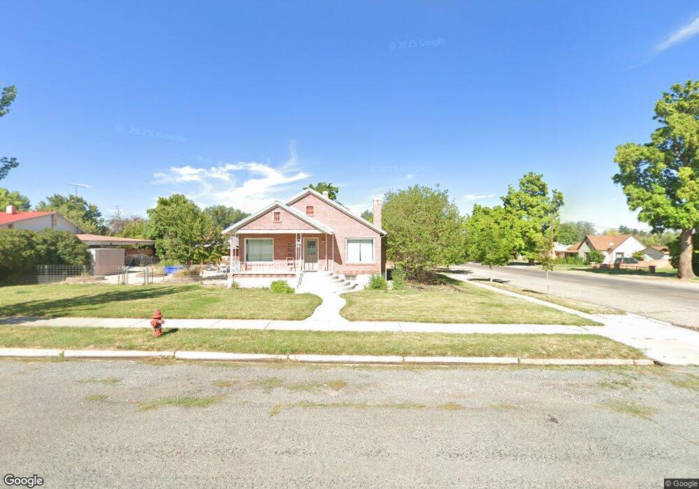
8 S 100 W Parowan, UT 84761
Estimated Value: $377,616 - $446,000
3
Beds
2
Baths
2,232
Sq Ft
$182/Sq Ft
Est. Value
About This Home
This home is located at 8 S 100 W, Parowan, UT 84761 and is currently estimated at $406,904, approximately $182 per square foot. 8 S 100 W is a home located in Iron County with nearby schools including Parowan School, Parowan High School, and Cedar City High School.
Ownership History
Date
Name
Owned For
Owner Type
Purchase Details
Closed on
Oct 8, 2020
Sold by
Mortenson Sara Marie
Bought by
Mortenson Bryan and Mortenson Sara M
Current Estimated Value
Home Financials for this Owner
Home Financials are based on the most recent Mortgage that was taken out on this home.
Original Mortgage
$292,400
Outstanding Balance
$260,074
Interest Rate
2.9%
Mortgage Type
New Conventional
Estimated Equity
$146,830
Purchase Details
Closed on
Apr 27, 2017
Sold by
Imming Michael Arthur and Imming Allisa Joyce
Bought by
Dale Jeffrey G and Dale Pamela
Home Financials for this Owner
Home Financials are based on the most recent Mortgage that was taken out on this home.
Original Mortgage
$192,000
Interest Rate
4.3%
Mortgage Type
New Conventional
Create a Home Valuation Report for This Property
The Home Valuation Report is an in-depth analysis detailing your home's value as well as a comparison with similar homes in the area
Home Values in the Area
Average Home Value in this Area
Purchase History
| Date | Buyer | Sale Price | Title Company |
|---|---|---|---|
| Mortenson Bryan | -- | Accommodation | |
| Mortenson Sara Marie | -- | Southern Ut Ttl Co Of Cedar | |
| Dale Jeffrey G | -- | Southern Utah Title Of Cedar |
Source: Public Records
Mortgage History
| Date | Status | Borrower | Loan Amount |
|---|---|---|---|
| Open | Mortenson Sara Marie | $292,400 | |
| Previous Owner | Dale Jeffrey G | $192,000 |
Source: Public Records
Tax History Compared to Growth
Tax History
| Year | Tax Paid | Tax Assessment Tax Assessment Total Assessment is a certain percentage of the fair market value that is determined by local assessors to be the total taxable value of land and additions on the property. | Land | Improvement |
|---|---|---|---|---|
| 2025 | $1,747 | $216,849 | $52,887 | $163,962 |
| 2023 | $1,722 | $177,705 | $47,220 | $130,485 |
| 2022 | $1,372 | $143,300 | $42,925 | $100,375 |
| 2021 | $1,219 | $127,345 | $26,830 | $100,515 |
| 2020 | $1,319 | $121,850 | $21,050 | $100,800 |
| 2019 | $1,319 | $116,145 | $21,050 | $95,095 |
| 2018 | $1,316 | $113,400 | $18,305 | $95,095 |
| 2017 | $1,271 | $101,155 | $18,305 | $82,850 |
| 2016 | $893 | $71,100 | $18,305 | $52,795 |
| 2015 | $874 | $65,690 | $0 | $0 |
| 2014 | $819 | $58,785 | $0 | $0 |
Source: Public Records
Map
Nearby Homes
- 116 W Center St
- 138 W Center St
- .55 Acres Old Us 91
- 161 W Center St
- 3.74 AF Water Right #75 1
- 0 Unit 107087
- 29 N 100 W
- 174 W Center St
- 176 W Center St
- 189 W Center St
- 70 W Center St
- 39 N 100 W
- 4.73 AF Water Right #75-1
- 190 W Center St
- 60 W Center St
- 8.5 AF Water Right #75-2110
- 30 N 200
- 83 Pioneer Ln
- 52 N 100 W
- 50 W Center St