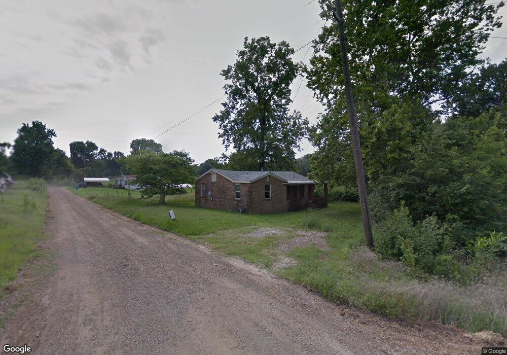
8 S Gintown Rd Mulberry, AR 72947
Estimated Value: $117,000 - $133,000
--
Bed
1
Bath
1,020
Sq Ft
$123/Sq Ft
Est. Value
About This Home
This home is located at 8 S Gintown Rd, Mulberry, AR 72947 and is currently estimated at $125,000, approximately $122 per square foot. 8 S Gintown Rd is a home located in Crawford County with nearby schools including Marvin Primary School, Pleasant View Junior High School, and Mulberry High School.
Ownership History
Date
Name
Owned For
Owner Type
Purchase Details
Closed on
Mar 15, 2019
Sold by
Marvin Jeff and Marvin Mary
Bought by
Petty Bradley and Petty Tonya
Current Estimated Value
Purchase Details
Closed on
Oct 4, 2013
Sold by
Wells Fargo Bank Na
Bought by
The Secretary Of Hud
Purchase Details
Closed on
Sep 18, 2013
Sold by
Hillian Gregory A and Hillian Brenda K
Bought by
Wells Fargo Bank Na
Purchase Details
Closed on
Mar 28, 2002
Bought by
Pierce-Hillian
Create a Home Valuation Report for This Property
The Home Valuation Report is an in-depth analysis detailing your home's value as well as a comparison with similar homes in the area
Home Values in the Area
Average Home Value in this Area
Purchase History
| Date | Buyer | Sale Price | Title Company |
|---|---|---|---|
| Petty Bradley | $2,000 | None Available | |
| The Secretary Of Hud | -- | None Available | |
| Wells Fargo Bank Na | $28,976 | None Available | |
| Pierce-Hillian | $39,000 | -- |
Source: Public Records
Tax History Compared to Growth
Tax History
| Year | Tax Paid | Tax Assessment Tax Assessment Total Assessment is a certain percentage of the fair market value that is determined by local assessors to be the total taxable value of land and additions on the property. | Land | Improvement |
|---|---|---|---|---|
| 2025 | $53 | $1,130 | $1,130 | $0 |
| 2024 | $53 | $1,130 | $1,130 | $0 |
| 2023 | $53 | $1,130 | $1,130 | $0 |
| 2022 | $53 | $1,130 | $1,130 | $0 |
| 2021 | $49 | $1,130 | $1,130 | $0 |
| 2020 | $49 | $1,130 | $1,130 | $0 |
| 2019 | $49 | $1,130 | $1,130 | $0 |
| 2018 | $351 | $8,550 | $1,130 | $7,420 |
| 2017 | $319 | $7,310 | $1,130 | $6,180 |
| 2016 | $319 | $7,310 | $1,130 | $6,180 |
| 2015 | $319 | $7,310 | $1,130 | $6,180 |
| 2014 | $319 | $7,310 | $1,130 | $6,180 |
Source: Public Records
Map
Nearby Homes
- 210 W 2nd St
- TBD (lot 29) Keystone Dr
- TBD (lot 30) Keystone Dr
- 519 Church Ave
- 1321 Old Graphic St
- 101 Reynolds St
- 770 Church Ave
- 36 W 8th St
- 414 Carter Ave
- TBD Exsorbet Dr
- 3042 Mulberry Highway 64 W
- 8 W 10th St
- TBD Industrial Park Dr
- 2034 Mulberry Wire Rd
- 3218 Mulberry Wire Rd
- 3032 King Dr
- TBD Duncan Rd
- 2150 Old Graphic St
- TBD Goff Cir
- 10110 Booth Rd
- 8 S Gin Town Rd
- 1521 Caboose Rd
- 14 N Gintown Rd
- 117 N Gintown Rd
- 116 N Gintown Rd
- 301 N Gintown Rd
- 400 N Gintown Rd
- 541 N Gintown Rd
- 1839 Connection Rd
- 1806 Connection Rd
- 627 N Gintown Rd
- 1832 Connection Rd
- 825 Caboose Rd
- 1910 Connection Rd
- 2116 Connection Rd
- 801 Caboose Rd
- 2208 Connection Rd
- 611 Bonfire Ln
- 833 N Gintown Rd
- 840 N Gintown Rd