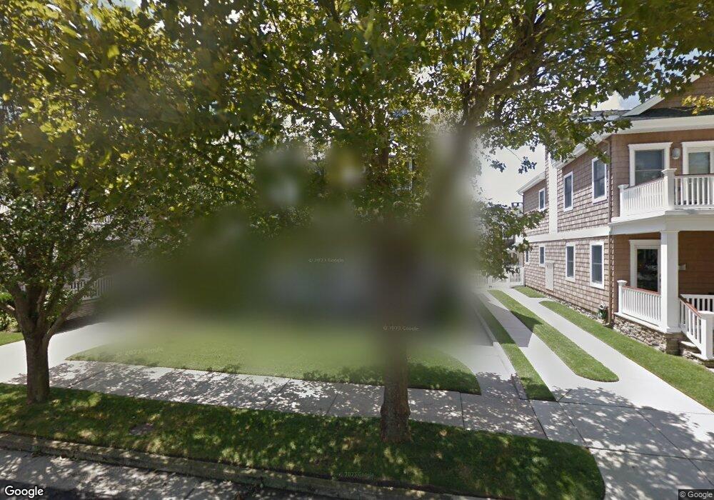
8 S Mansfield Ave Margate City, NJ 08402
Estimated Value: $1,582,000 - $2,809,000
--
Bed
--
Bath
2,326
Sq Ft
$986/Sq Ft
Est. Value
About This Home
This home is located at 8 S Mansfield Ave, Margate City, NJ 08402 and is currently estimated at $2,292,520, approximately $985 per square foot. 8 S Mansfield Ave is a home located in Atlantic County with nearby schools including William H. Ross III Intermediate School, Eugene A. Tighe Middle School, and Blessed Sacrament Regional School.
Ownership History
Date
Name
Owned For
Owner Type
Purchase Details
Closed on
Dec 30, 2020
Sold by
Mulligan Marcia and Estate Of Frank Paul Mulligan
Bought by
Mulligan Marcia
Current Estimated Value
Purchase Details
Closed on
Dec 22, 2020
Sold by
Muligan Frank Paul and Mulligan Marcia
Bought by
Mulligan Marcia
Purchase Details
Closed on
Jan 1, 2003
Sold by
Mulligan Frank P
Bought by
Testamentary Tr U/L/W/T John K Mulligan and Mulligan Frank P
Purchase Details
Closed on
Aug 26, 1992
Sold by
Mulligan John K
Bought by
Mulligan John K and Frank Paul
Purchase Details
Closed on
Feb 12, 1990
Sold by
Mulligan John K and Mulligan Frank
Bought by
Mulligan John K and Jr Frank P
Create a Home Valuation Report for This Property
The Home Valuation Report is an in-depth analysis detailing your home's value as well as a comparison with similar homes in the area
Home Values in the Area
Average Home Value in this Area
Purchase History
| Date | Buyer | Sale Price | Title Company |
|---|---|---|---|
| Mulligan Marcia | -- | None Available | |
| Mulligan Marcia | -- | None Listed On Document | |
| Testamentary Tr U/L/W/T John K Mulligan | -- | -- | |
| Mulligan John K | -- | -- | |
| Mulligan John K | $375,000 | -- |
Source: Public Records
Tax History Compared to Growth
Tax History
| Year | Tax Paid | Tax Assessment Tax Assessment Total Assessment is a certain percentage of the fair market value that is determined by local assessors to be the total taxable value of land and additions on the property. | Land | Improvement |
|---|---|---|---|---|
| 2025 | $13,105 | $767,300 | $553,500 | $213,800 |
| 2024 | $13,105 | $767,300 | $553,500 | $213,800 |
| 2023 | $12,108 | $767,300 | $553,500 | $213,800 |
| 2022 | $12,108 | $767,300 | $553,500 | $213,800 |
| 2021 | $11,939 | $767,300 | $553,500 | $213,800 |
| 2020 | $11,878 | $767,300 | $553,500 | $213,800 |
| 2019 | $11,832 | $767,300 | $553,500 | $213,800 |
| 2018 | $11,993 | $767,300 | $553,500 | $213,800 |
| 2017 | $12,008 | $767,300 | $553,500 | $213,800 |
| 2016 | $11,602 | $767,300 | $553,500 | $213,800 |
| 2015 | $11,417 | $767,300 | $553,500 | $213,800 |
| 2014 | $11,203 | $767,300 | $553,500 | $213,800 |
Source: Public Records
Map
Nearby Homes
- 8509 Atlantic Ave
- 103 S Nassau Ave
- 21 S Kenyon Ave
- 6 N Lancaster Ave
- 12 S Quincy Ave
- 2 N Pembroke Ave
- 17 N Mansfield Ave
- 111 N Mansfield Ave
- 5 N Iroquois Ave
- 116 N Lancaster Ave
- 8904 Ventnor Ave
- 3 Dolphin Dr
- 31 N Jasper Ave
- 104 S Thurlow Ave
- 28 S Huntington Ave
- 121 N Quincy Ave
- 16 S Haverford Ave
- 121 N Rumson Ave
- 215 N Nassau Ave
- 13 N Vendome Ave
- 10 S Mansfield Ave
- 6 S Mansfield Ave
- 7 S Nassau Ave
- 4 S Mansfield Ave
- 11 S Nassau Ave
- 8601 Atlantic Ave
- 8605 Atlantic Ave
- 5 S Nassau Ave
- 9 S Mansfield Ave
- 7 S Mansfield Ave
- 2 S Mansfield Ave
- 15 S Mansfield Ave
- 5 S Mansfield Ave
- 3 S Nassau Ave
- 3 S Mansfield Ave
- S S Mansfield Ave
- 18 S Lancaster Ave
- 16 S Lancaster Ave
- 14 S Lancaster Ave
- 8600 Ventnor Ave