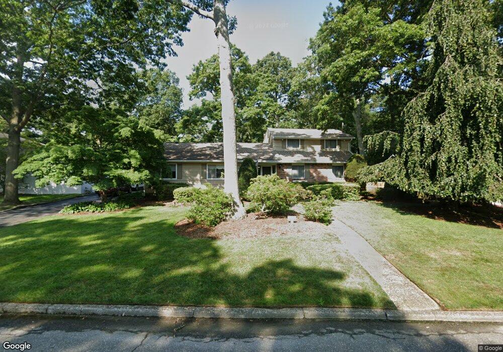
8 Sage Rd Port Jefferson Station, NY 11776
Estimated Value: $426,000 - $687,000
1
Bed
1
Bath
600
Sq Ft
$989/Sq Ft
Est. Value
About This Home
This home is located at 8 Sage Rd, Port Jefferson Station, NY 11776 and is currently estimated at $593,667, approximately $989 per square foot. 8 Sage Rd is a home located in Suffolk County with nearby schools including Minnesauke Elementary School, Paul J Gelinas Junior High School, and Ward Melville Senior High School.
Ownership History
Date
Name
Owned For
Owner Type
Purchase Details
Closed on
May 21, 2024
Sold by
Munnich Adelaide and Munnich John P
Bought by
Munnich Adelaide
Current Estimated Value
Purchase Details
Closed on
May 16, 2024
Sold by
Adelaide Munnich Ret and Munnich
Bought by
Adelaide Munnich Ret and Munnich
Purchase Details
Closed on
May 18, 1996
Sold by
Munnich John Francis and Munnich Adelaide M
Bought by
Munnich Adelaide and Munnich John
Create a Home Valuation Report for This Property
The Home Valuation Report is an in-depth analysis detailing your home's value as well as a comparison with similar homes in the area
Home Values in the Area
Average Home Value in this Area
Purchase History
| Date | Buyer | Sale Price | Title Company |
|---|---|---|---|
| Munnich Adelaide | -- | None Available | |
| Munnich Adelaide | -- | None Available | |
| Adelaide Munnich Ret | -- | None Available | |
| Adelaide Munnich Ret | -- | None Available | |
| Munnich Adelaide | -- | Chicago Title Insurance Co | |
| Munnich Adelaide | -- | Chicago Title Insurance Co |
Source: Public Records
Tax History Compared to Growth
Tax History
| Year | Tax Paid | Tax Assessment Tax Assessment Total Assessment is a certain percentage of the fair market value that is determined by local assessors to be the total taxable value of land and additions on the property. | Land | Improvement |
|---|---|---|---|---|
| 2024 | $11,810 | $3,090 | $300 | $2,790 |
| 2023 | $11,810 | $3,090 | $300 | $2,790 |
| 2022 | $10,238 | $3,090 | $300 | $2,790 |
| 2021 | $10,238 | $3,090 | $300 | $2,790 |
| 2020 | $10,500 | $3,090 | $300 | $2,790 |
| 2019 | $10,500 | $0 | $0 | $0 |
| 2018 | $9,991 | $3,090 | $300 | $2,790 |
| 2017 | $9,991 | $3,090 | $300 | $2,790 |
| 2016 | $9,879 | $3,090 | $300 | $2,790 |
| 2015 | -- | $3,090 | $300 | $2,790 |
| 2014 | -- | $3,500 | $300 | $3,200 |
Source: Public Records
Map
Nearby Homes
- 4 Linda St
- 37 Deer Ln
- 4 Forest Ave
- 203 Sterling St
- 24 Kennedy Rd
- 105 Commodore Cir
- 26 Forest Ave
- 148 Captains Way
- 22 Washington Ave
- 29 Erin Ln
- 34 Thomas Ln
- 30 Bunny Ln
- 12 Deer Ln
- 460 Old Town Rd Unit 7G
- 460 Old Town Rd Unit 24E
- 460 Old Town Rd Unit 7K
- 460 Old Town Rd Unit 8H
- 460 Old Town Rd Unit 25L Upper Unit
- 460 Old Town Rd Unit 26P
- 460 Old Town Rd Unit 25M