8 Sandy Way Gloucester, MA 01930
West Gloucester NeighborhoodEstimated Value: $1,609,000 - $4,480,000
3
Beds
3
Baths
2,073
Sq Ft
$1,603/Sq Ft
Est. Value
About This Home
This home is located at 8 Sandy Way, Gloucester, MA 01930 and is currently estimated at $3,323,242, approximately $1,603 per square foot. 8 Sandy Way is a home located in Essex County with nearby schools including West Parish, Ralph B O'maley Middle School, and Gloucester High School.
Ownership History
Date
Name
Owned For
Owner Type
Purchase Details
Closed on
Dec 1, 1993
Sold by
Gervais Debra C and Page Debra C
Bought by
Olsen Janet L and Scognamiglio Michael
Current Estimated Value
Home Financials for this Owner
Home Financials are based on the most recent Mortgage that was taken out on this home.
Original Mortgage
$450,000
Interest Rate
6.69%
Mortgage Type
Purchase Money Mortgage
Create a Home Valuation Report for This Property
The Home Valuation Report is an in-depth analysis detailing your home's value as well as a comparison with similar homes in the area
Home Values in the Area
Average Home Value in this Area
Purchase History
| Date | Buyer | Sale Price | Title Company |
|---|---|---|---|
| Olsen Janet L | $585,000 | -- |
Source: Public Records
Mortgage History
| Date | Status | Borrower | Loan Amount |
|---|---|---|---|
| Closed | Olsen Janet L | $450,000 |
Source: Public Records
Tax History
| Year | Tax Paid | Tax Assessment Tax Assessment Total Assessment is a certain percentage of the fair market value that is determined by local assessors to be the total taxable value of land and additions on the property. | Land | Improvement |
|---|---|---|---|---|
| 2025 | $38,101 | $3,919,900 | $2,890,700 | $1,029,200 |
| 2024 | $35,916 | $3,691,300 | $2,753,000 | $938,300 |
| 2023 | $33,273 | $3,141,900 | $2,346,900 | $795,000 |
| 2022 | $31,050 | $2,647,100 | $1,954,000 | $693,100 |
| 2021 | $29,962 | $2,408,500 | $1,777,800 | $630,700 |
| 2020 | $29,701 | $2,408,800 | $1,777,800 | $631,000 |
| 2019 | $29,541 | $2,327,900 | $1,695,100 | $632,800 |
| 2018 | $28,551 | $2,208,100 | $1,653,800 | $554,300 |
| 2017 | $29,461 | $2,233,600 | $1,655,600 | $578,000 |
| 2016 | $24,629 | $1,809,600 | $1,295,700 | $513,900 |
| 2015 | $23,830 | $1,745,800 | $1,266,300 | $479,500 |
Source: Public Records
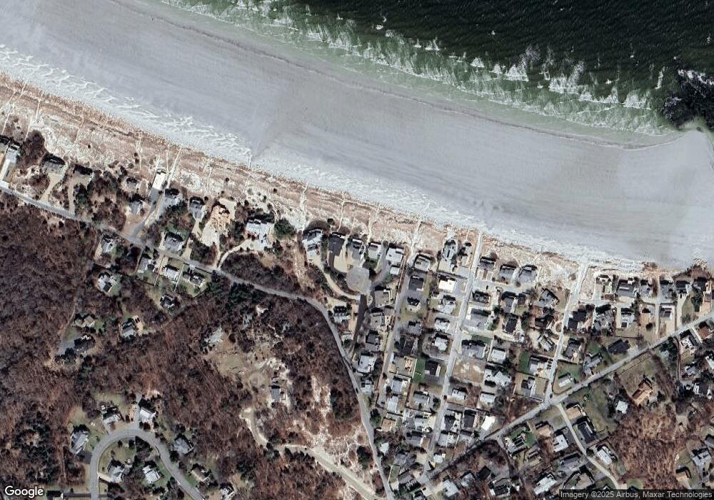
Map
Nearby Homes
- 226 Atlantic St
- 178 Atlantic St
- 167 Atlantic St
- 2 Breezy Point Rd
- 672 Washington St
- 13 Honeysuckle Rd
- 3 Deacon Farm Ln
- 7 Colburn St
- 31 Echo Ave
- 7 Leaman Dr
- 1030 Washington St
- 43 High St Unit B
- 5 Samoset Rd Unit B
- 10 Emerald St
- 13 Mystic Ave
- 368 Essex Ave
- 8 Mystic Ave
- 6 Monroe Ct
- 145 Essex Ave Unit 402
- 24 Cobblestone Ln Unit 603
Your Personal Tour Guide
Ask me questions while you tour the home.