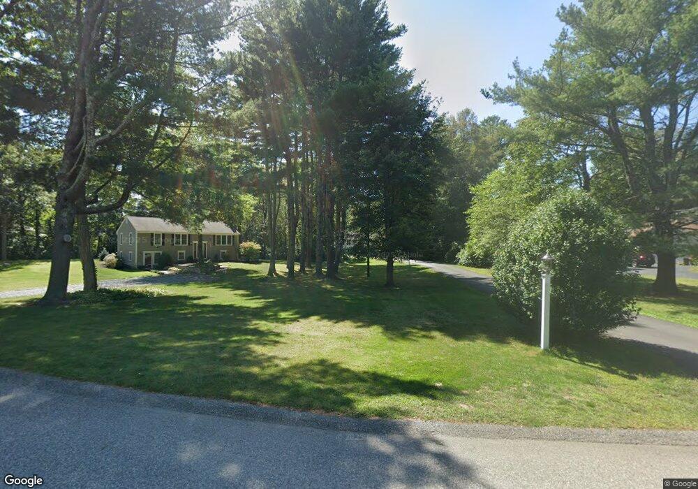
8 Sassamon Rd Scituate, MA 02066
Estimated Value: $825,111 - $1,009,000
3
Beds
2
Baths
1,848
Sq Ft
$498/Sq Ft
Est. Value
About This Home
This home is located at 8 Sassamon Rd, Scituate, MA 02066 and is currently estimated at $919,528, approximately $497 per square foot. 8 Sassamon Rd is a home located in Plymouth County with nearby schools including Jenkins Elementary School, Lester J. Gates Middle School, and Scituate High School.
Ownership History
Date
Name
Owned For
Owner Type
Purchase Details
Closed on
Apr 10, 2018
Sold by
Sullivan Michael J and Sullivan Linda P
Bought by
Ames Paul J and Ames Marsha A
Current Estimated Value
Home Financials for this Owner
Home Financials are based on the most recent Mortgage that was taken out on this home.
Original Mortgage
$476,509
Outstanding Balance
$410,359
Interest Rate
4.5%
Mortgage Type
FHA
Estimated Equity
$509,169
Purchase Details
Closed on
Jan 1, 1977
Bought by
Sullivan Michael J and Sullivan Linda P
Create a Home Valuation Report for This Property
The Home Valuation Report is an in-depth analysis detailing your home's value as well as a comparison with similar homes in the area
Home Values in the Area
Average Home Value in this Area
Purchase History
| Date | Buyer | Sale Price | Title Company |
|---|---|---|---|
| Ames Paul J | $485,300 | -- | |
| Sullivan Michael J | -- | -- |
Source: Public Records
Mortgage History
| Date | Status | Borrower | Loan Amount |
|---|---|---|---|
| Open | Ames Paul J | $476,509 | |
| Previous Owner | Sullivan Michael J | $145,844 | |
| Previous Owner | Sullivan Michael J | $205,000 |
Source: Public Records
Tax History
| Year | Tax Paid | Tax Assessment Tax Assessment Total Assessment is a certain percentage of the fair market value that is determined by local assessors to be the total taxable value of land and additions on the property. | Land | Improvement |
|---|---|---|---|---|
| 2025 | $6,860 | $686,700 | $403,600 | $283,100 |
| 2024 | $6,677 | $644,500 | $366,900 | $277,600 |
| 2023 | $6,758 | $599,400 | $352,200 | $247,200 |
| 2022 | $6,758 | $535,500 | $325,300 | $210,200 |
| 2021 | $6,508 | $488,200 | $309,800 | $178,400 |
| 2020 | $6,317 | $467,900 | $297,800 | $170,100 |
| 2019 | $6,248 | $454,700 | $292,000 | $162,700 |
| 2018 | $6,296 | $451,300 | $301,400 | $149,900 |
| 2017 | $6,019 | $427,200 | $289,300 | $137,900 |
| 2016 | $5,700 | $403,100 | $265,200 | $137,900 |
| 2015 | $5,123 | $391,100 | $253,200 | $137,900 |
Source: Public Records
Map
Nearby Homes
- 17 Old Oaken Bucket Rd
- 19 Ford Place Unit 1
- 19 Ford Place Unit 2
- 94 Old Oaken Bucket Rd
- 19 Dunster Ln
- 21 Jenkins Place
- 9 Cushing Park Rd
- 48 Neal Gate St
- 115 Elm St
- 111 Elm St
- 20 Grace Way Unit 20
- 1 Grace Way Unit 1
- 6 Grace Way Unit 6
- 27 Grace Way
- 59 Greenfield Ln
- 95 Stony Brook Ln
- 25 Webster Farm Way
- 23 Webster Farm Way
- 125 Maple St
- 3 Webster Farm Way
- 30 Satuit Trail
- 34 Satuit Trail
- 28 Satuit Trail
- 14 Sassamon Rd
- 10 Briggs Ln
- 38 Satuit Trail
- 11 Sassamon Rd
- 4 Briggs Ln
- 25 Satuit Trail
- 20 Satuit Trail
- 37 Satuit Trail
- 44 Satuit Trail
- 10 Satuit Trail
- 283 Chief Justice Cushing Hwy
- 19 Satuit Trail
- 275 Chief Justice Cushing Hwy Unit 2
- 275 Chief Justice Cushing Hwy
- 267 Chief Justice Cushing Hwy
- 47 Satuit Trail
- 267 C j Cushing Hwy