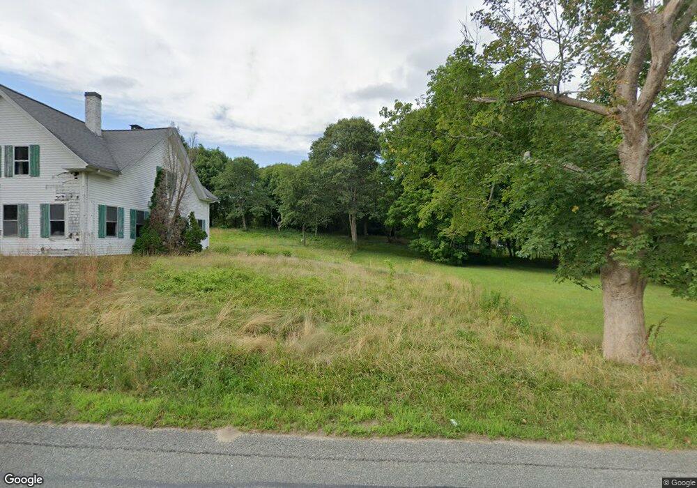
8 Scraggy Neck Ext Rd Cataumet, MA 02534
Cataumet NeighborhoodEstimated Value: $725,000
2
Beds
1
Bath
1,600
Sq Ft
$453/Sq Ft
Est. Value
About This Home
This home is located at 8 Scraggy Neck Ext Rd, Cataumet, MA 02534 and is currently priced at $725,000, approximately $453 per square foot. 8 Scraggy Neck Ext Rd is a home located in Barnstable County with nearby schools including Bourne High School, Cadence Academy Preschool - Bourne, and Heritage Christian Academy.
Ownership History
Date
Name
Owned For
Owner Type
Purchase Details
Closed on
Feb 28, 2025
Sold by
Sevi Leonidah and Brakaj Sonila
Bought by
Fieri Llc
Current Estimated Value
Purchase Details
Closed on
Apr 15, 2011
Sold by
Beneficial Massachuset
Bought by
Sevi Leonidah and Brakaj Sonila
Purchase Details
Closed on
Jan 20, 2010
Sold by
Mcsweeney Albert Peter and Beneficial Mass Inc
Bought by
Beneficial Mass Inc
Create a Home Valuation Report for This Property
The Home Valuation Report is an in-depth analysis detailing your home's value as well as a comparison with similar homes in the area
Home Values in the Area
Average Home Value in this Area
Purchase History
| Date | Buyer | Sale Price | Title Company |
|---|---|---|---|
| Fieri Llc | -- | None Available | |
| Fieri Llc | -- | None Available | |
| Fieri Llc | -- | None Available | |
| Fieri Llc | -- | None Available | |
| Sevi Leonidah | $131,000 | -- | |
| Sevi Leonidah | $131,000 | -- | |
| Sevi Leonidah | $131,000 | -- | |
| Sevi Leonidah | $131,000 | -- | |
| Beneficial Mass Inc | $185,812 | -- | |
| Beneficial Mass Inc | $185,812 | -- | |
| Beneficial Mass Inc | $185,812 | -- | |
| Beneficial Mass Inc | $185,812 | -- |
Source: Public Records
Tax History Compared to Growth
Tax History
| Year | Tax Paid | Tax Assessment Tax Assessment Total Assessment is a certain percentage of the fair market value that is determined by local assessors to be the total taxable value of land and additions on the property. | Land | Improvement |
|---|---|---|---|---|
| 2025 | $3,980 | $509,600 | $174,500 | $335,100 |
| 2024 | $3,893 | $485,400 | $166,200 | $319,200 |
| 2023 | $3,785 | $429,600 | $147,100 | $282,500 |
| 2022 | $3,576 | $354,400 | $130,200 | $224,200 |
| 2021 | $3,472 | $322,400 | $118,500 | $203,900 |
| 2020 | $3,392 | $315,800 | $117,300 | $198,500 |
| 2019 | $2,705 | $257,400 | $117,300 | $140,100 |
| 2018 | $2,652 | $251,600 | $111,800 | $139,800 |
| 2017 | $2,566 | $249,100 | $110,700 | $138,400 |
| 2016 | $2,464 | $242,500 | $110,700 | $131,800 |
| 2015 | $2,442 | $242,500 | $110,700 | $131,800 |
Source: Public Records
Map
Nearby Homes
- 5 Scraggy Neck Rd
- 7 Scraggy Neck Rd
- 10 Scraggy Neck Rd
- 20 Olofson Dr
- 9 Scraggy Neck Rd
- 10 Scraggy Neck Rd
- 17 Scraggy Neck Rd
- 17 Scraggy Neck Rd
- 1276 County Rd
- 1276 County
- 21 Olofson Dr
- 1276 County Rd
- 22 Scraggy Neck Rd
- 1287 County Rd
- 22 Scraggy Neck Rd
- 15 Scraggy Neck Road Extension
- 1275 County Rd
- 25 Scraggy Neck Rd
- 1290 County Rd
- 21 Scraggy Neck Rd