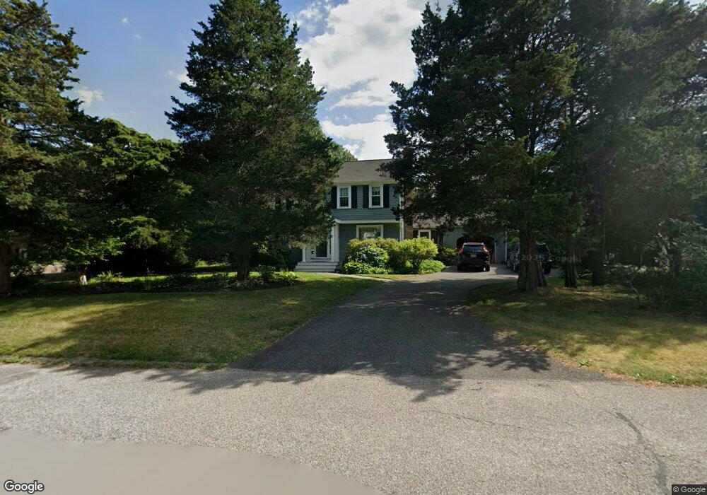
8 Seaflower Ln Marshfield, MA 02050
Green Harbor-Cedar Crest NeighborhoodEstimated Value: $689,000 - $933,000
4
Beds
2
Baths
1,712
Sq Ft
$461/Sq Ft
Est. Value
About This Home
This home is located at 8 Seaflower Ln, Marshfield, MA 02050 and is currently estimated at $789,209, approximately $460 per square foot. 8 Seaflower Ln is a home located in Plymouth County with nearby schools including Governor Edward Winslow School, Furnace Brook Middle School, and Marshfield High School.
Ownership History
Date
Name
Owned For
Owner Type
Purchase Details
Closed on
Dec 22, 1997
Sold by
Quist Richard J and Quist Kathleen M
Bought by
Lefkovitz Lisa F and Schoeneman Dale R
Current Estimated Value
Purchase Details
Closed on
Nov 25, 1992
Sold by
Brothers William K and Brothers Marcia L
Bought by
Quist Richard J and Quist Kaathleen M
Create a Home Valuation Report for This Property
The Home Valuation Report is an in-depth analysis detailing your home's value as well as a comparison with similar homes in the area
Home Values in the Area
Average Home Value in this Area
Purchase History
| Date | Buyer | Sale Price | Title Company |
|---|---|---|---|
| Lefkovitz Lisa F | $213,000 | -- | |
| Quist Richard J | $176,900 | -- |
Source: Public Records
Mortgage History
| Date | Status | Borrower | Loan Amount |
|---|---|---|---|
| Open | Quist Richard J | $170,000 | |
| Closed | Quist Richard J | $170,000 | |
| Closed | Quist Richard J | $15,000 |
Source: Public Records
Tax History
| Year | Tax Paid | Tax Assessment Tax Assessment Total Assessment is a certain percentage of the fair market value that is determined by local assessors to be the total taxable value of land and additions on the property. | Land | Improvement |
|---|---|---|---|---|
| 2025 | $6,182 | $624,400 | $303,000 | $321,400 |
| 2024 | $6,051 | $582,400 | $288,600 | $293,800 |
| 2023 | $5,632 | $524,600 | $268,000 | $256,600 |
| 2022 | $5,632 | $434,900 | $216,500 | $218,400 |
| 2021 | $5,409 | $410,100 | $214,400 | $195,700 |
| 2020 | $5,148 | $386,200 | $195,800 | $190,400 |
| 2019 | $5,036 | $376,400 | $195,800 | $180,600 |
| 2018 | $4,984 | $372,800 | $195,800 | $177,000 |
| 2017 | $4,806 | $350,300 | $185,500 | $164,800 |
| 2016 | $4,568 | $329,100 | $175,200 | $153,900 |
| 2015 | $4,325 | $325,400 | $175,200 | $150,200 |
| 2014 | $4,085 | $307,400 | $160,800 | $146,600 |
Source: Public Records
Map
Nearby Homes
- 585 Careswell St
- 116 Outlook Rd
- 86 Barouche Dr
- 118 Enterprise St
- 242 Enterprise St
- 45 Red Gold Farm Rd
- 387 Lot 2A Old Cove Rd
- 387 Lot 3A Old Cove Rd
- 387 Lot 4A Old Cove Rd
- 66 Simmons Dr
- 71 Gurnet Rd
- 39 Bay Pond Rd
- 555 Webster St
- 568 Webster St
- 13 Lewis Ct
- 106 Careswell St
- 184 King Phillips Pathe
- 11 Simmons Dr
- 4 Rachael's Ln
- Two Railroad Ave Unit 9
- 14 Seaflower Ln
- 737 Careswell St
- 1 Seaflower Ln
- 22 Seaflower Ln
- 709 Careswell St
- 21 Seaflower Ln
- 30 Seaflower Ln
- 750 Careswell St
- 701 Careswell St
- 29 Seaflower Ln
- 38 Seaflower Ln
- 19 Old Wharf Waye
- 764 Careswell St
- 37 Seaflower Ln
- 691 Careswell St
- 3 Chamaral Cir
- 45 Seaflower Ln
- 56 Seaflower Ln
- 1 Chamaral Cir
- 31 Old Wharf Waye
Your Personal Tour Guide
Ask me questions while you tour the home.