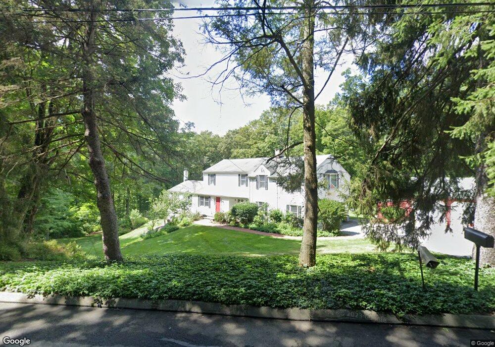
8 Shady Ln Redding, CT 06896
Estimated Value: $953,000 - $1,511,000
4
Beds
6
Baths
4,046
Sq Ft
$305/Sq Ft
Est. Value
About This Home
This home is located at 8 Shady Ln, Redding, CT 06896 and is currently estimated at $1,232,411, approximately $304 per square foot. 8 Shady Ln is a home located in Fairfield County with nearby schools including Redding Elementary School, John Read Middle School, and Joel Barlow High School.
Ownership History
Date
Name
Owned For
Owner Type
Purchase Details
Closed on
Jan 5, 2009
Sold by
Astora Federal Mtg Cor
Bought by
Raut Raymond and Raut Madalina I
Current Estimated Value
Purchase Details
Closed on
Sep 23, 2008
Sold by
Admirand William R and Admirand Margaret B
Bought by
Astoria Federal Mtg Co
Purchase Details
Closed on
Nov 22, 1994
Sold by
Creigh Richard and Creigh Patricia A
Bought by
Admirand William R and Admirand Margaret B
Create a Home Valuation Report for This Property
The Home Valuation Report is an in-depth analysis detailing your home's value as well as a comparison with similar homes in the area
Home Values in the Area
Average Home Value in this Area
Purchase History
| Date | Buyer | Sale Price | Title Company |
|---|---|---|---|
| Raut Raymond | $558,000 | -- | |
| Astoria Federal Mtg Co | $718,324 | -- | |
| Admirand William R | $365,000 | -- | |
| Astoria Federal Mtg Co | $718,324 | -- | |
| Admirand William R | $365,000 | -- |
Source: Public Records
Mortgage History
| Date | Status | Borrower | Loan Amount |
|---|---|---|---|
| Closed | Admirand William R | $120,000 | |
| Closed | Admirand William R | $417,000 |
Source: Public Records
Tax History Compared to Growth
Tax History
| Year | Tax Paid | Tax Assessment Tax Assessment Total Assessment is a certain percentage of the fair market value that is determined by local assessors to be the total taxable value of land and additions on the property. | Land | Improvement |
|---|---|---|---|---|
| 2025 | $17,384 | $588,500 | $140,000 | $448,500 |
| 2024 | $16,902 | $588,500 | $140,000 | $448,500 |
| 2023 | $16,296 | $588,500 | $140,000 | $448,500 |
| 2022 | $15,900 | $476,900 | $151,200 | $325,700 |
| 2021 | $12,189 | $476,900 | $151,200 | $325,700 |
| 2020 | $15,661 | $476,900 | $151,200 | $325,700 |
| 2019 | $11,921 | $476,900 | $151,200 | $325,700 |
| 2018 | $15,127 | $476,900 | $151,200 | $325,700 |
| 2017 | $13,083 | $441,700 | $151,600 | $290,100 |
| 2016 | $12,915 | $441,700 | $151,600 | $290,100 |
| 2015 | $12,770 | $441,700 | $151,600 | $290,100 |
| 2014 | $12,770 | $441,700 | $151,600 | $290,100 |
Source: Public Records
Map
Nearby Homes
- 10 Shady Ln
- 45 Great Pasture Rd
- 22 Lonetown Rd
- 56 Cross Hwy
- 90 Old Stagecoach Rd
- 2 Longwood Dr
- 280 Newtown Turnpike
- 15 Tunxis Trail
- 35 Diamond Hill Rd
- 34 Fox Run Rd
- 41 Sullivan Dr
- 4 Orchard Dr
- 283 Redding Rd
- 22 Ledgewood Rd
- 241 Black Rock Turnpike
- 24 Costa Ln
- 229 Umpawaug Rd
- 477 Newtown Turnpike
- 65 Umpawaug Rd
- 67 Umpawaug Rd
- 72 Hill Rd
- 12 Shady Ln
- 66 Hill Rd
- 69 Hill Rd
- 67 Hill Rd
- 11 Deer Hill Rd
- 65 Hill Rd
- 6 Deer Hill Rd
- 3 Deer Hill Rd
- 3 Deer Hill Rd Unit 2
- 16 Shady Ln
- 61 Hill Rd
- 4 Cross Hwy
- 12 Deer Hill Rd
- DC 11 Parcela 56 Distr
- Lot #11 Marchant Rd
- Lot #1 Marchant Rd
- 9 Deer Hill Rd
- 9 Deer Hill Rd Unit 5
- 66 Great Pasture Rd