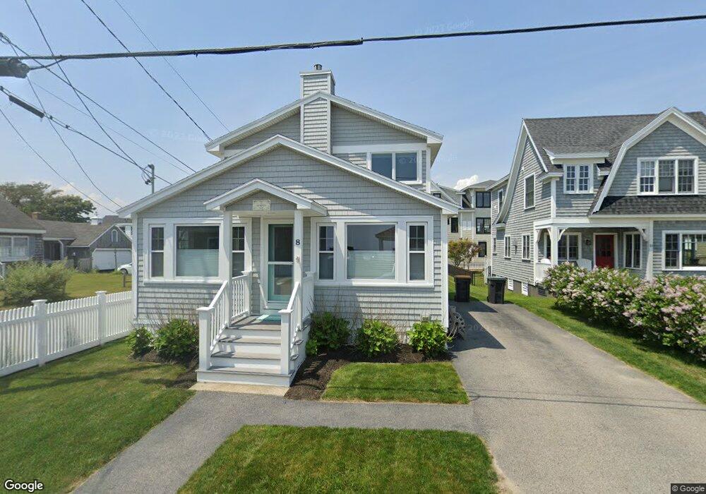
8 Shipwreck Rd Scarborough, ME 04074
Estimated Value: $1,176,575 - $1,430,000
3
Beds
2
Baths
1,453
Sq Ft
$873/Sq Ft
Est. Value
About This Home
This home is located at 8 Shipwreck Rd, Scarborough, ME 04074 and is currently estimated at $1,268,394, approximately $872 per square foot. 8 Shipwreck Rd is a home with nearby schools including Scarborough High School.
Ownership History
Date
Name
Owned For
Owner Type
Purchase Details
Closed on
Nov 8, 2018
Sold by
8 Shipwreck Road Llc
Bought by
Murphy John G and Murphy Roxanne
Current Estimated Value
Home Financials for this Owner
Home Financials are based on the most recent Mortgage that was taken out on this home.
Original Mortgage
$450,000
Outstanding Balance
$394,876
Interest Rate
4.7%
Mortgage Type
New Conventional
Estimated Equity
$873,518
Purchase Details
Closed on
Jan 2, 2008
Sold by
Murphy John G and Murphy Roxanne
Bought by
Eight Shipwreck Road Llc
Create a Home Valuation Report for This Property
The Home Valuation Report is an in-depth analysis detailing your home's value as well as a comparison with similar homes in the area
Home Values in the Area
Average Home Value in this Area
Purchase History
| Date | Buyer | Sale Price | Title Company |
|---|---|---|---|
| Murphy John G | -- | -- | |
| Eight Shipwreck Road Llc | -- | -- |
Source: Public Records
Mortgage History
| Date | Status | Borrower | Loan Amount |
|---|---|---|---|
| Open | Murphy John G | $450,000 |
Source: Public Records
Tax History Compared to Growth
Tax History
| Year | Tax Paid | Tax Assessment Tax Assessment Total Assessment is a certain percentage of the fair market value that is determined by local assessors to be the total taxable value of land and additions on the property. | Land | Improvement |
|---|---|---|---|---|
| 2024 | $12,891 | $1,179,400 | $896,100 | $283,300 |
| 2023 | $13,089 | $819,600 | $623,700 | $195,900 |
| 2022 | $12,614 | $819,600 | $623,700 | $195,900 |
| 2021 | $12,310 | $819,600 | $623,700 | $195,900 |
| 2020 | $12,179 | $819,600 | $623,700 | $195,900 |
| 2019 | $12,048 | $819,600 | $623,700 | $195,900 |
| 2017 | $9,276 | $562,500 | $506,000 | $56,500 |
| 2016 | $8,955 | $562,500 | $506,000 | $56,500 |
| 2015 | $8,713 | $562,500 | $506,000 | $56,500 |
| 2014 | $8,494 | $562,500 | $506,000 | $56,500 |
| 2013 | $8,308 | $562,500 | $506,000 | $56,500 |
Source: Public Records
Map
Nearby Homes
- 2 White Sands Ln
- 144 Spurwink Rd
- 144-A Spurwink Road (Parcel 1)
- 38 Atlantic Dr Unit 38
- 7 Atlantic Dr Unit 7
- 1 Quarry Rd
- 25 Atlantic Dr Unit 25
- 23 Plover Ln Unit 33
- 6 Winding Way
- 9 Williamsburg Ln
- 119 Fogg Rd
- 99 Quarry Rd
- 530 Spurwink Ave
- 11 Fowler Farm Rd
- 5 Elbridge Oliver Way
- 190 Pleasant Hill Rd
- 33 Massacre Ln
- 31 Massacre Ln
- 17 Cross Hill Rd
- 8 Red Barn Cir