8 Shore Dr Sherman, CT 06784
Estimated Value: $1,383,262 - $2,083,000
3
Beds
8
Baths
3,538
Sq Ft
$472/Sq Ft
Est. Value
About This Home
This home is located at 8 Shore Dr, Sherman, CT 06784 and is currently estimated at $1,669,316, approximately $471 per square foot. 8 Shore Dr is a home located in Fairfield County with nearby schools including Sherman School.
Ownership History
Date
Name
Owned For
Owner Type
Purchase Details
Closed on
Mar 5, 2010
Sold by
Lade Donald Stewart
Bought by
Smith Edward P and Smith Mary Neagle
Current Estimated Value
Purchase Details
Closed on
Oct 6, 2006
Sold by
Casey Gloria A
Bought by
Lade Donald Stewart
Home Financials for this Owner
Home Financials are based on the most recent Mortgage that was taken out on this home.
Original Mortgage
$104,900
Interest Rate
6.48%
Purchase Details
Closed on
Jan 21, 1999
Sold by
Foley John L
Bought by
Casey Gloria A and Casey Thomas P
Create a Home Valuation Report for This Property
The Home Valuation Report is an in-depth analysis detailing your home's value as well as a comparison with similar homes in the area
Home Values in the Area
Average Home Value in this Area
Purchase History
| Date | Buyer | Sale Price | Title Company |
|---|---|---|---|
| Smith Edward P | $1,100,000 | -- | |
| Lade Donald Stewart | $1,050,000 | -- | |
| Casey Gloria A | $465,000 | -- |
Source: Public Records
Mortgage History
| Date | Status | Borrower | Loan Amount |
|---|---|---|---|
| Previous Owner | Casey Gloria A | $1,280,000 | |
| Previous Owner | Casey Gloria A | $104,900 | |
| Previous Owner | Casey Gloria A | $840,000 | |
| Previous Owner | Casey Gloria A | $377,750 |
Source: Public Records
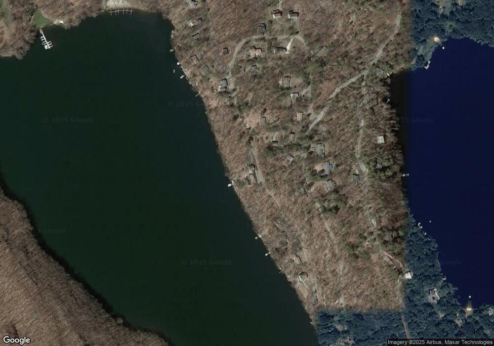
Map
Nearby Homes
- 0 Rte 39 South State Route
- 6 Candlewood Common
- 8 Candleview Dr
- 5 Sail Harbour Dr
- 23 Echo Dr
- 0 Wagon Wheel Rd Unit 24065102
- 2 Deer Hill Rd
- 22 Candlewood Common
- 29 Candlewood Common
- 32 Ferris Estates Rd
- 35 Skyline Dr
- 17 Mauweehoo Hill
- 368 Candlewood Lake Rd N
- 36 Maple Dr
- 32 Sail Harbour Dr
- 4 Harbour View Dr
- 47 Valley View Ln
- 54 Lavelle Ave
- 117 Lone Oak Dr
- 8 Heritage Island Rd
Your Personal Tour Guide
Ask me questions while you tour the home.