8 Silo Ridge Rd W Unit 1 Orland Park, IL 60467
Orland Grove NeighborhoodEstimated Value: $1,439,000 - $1,665,000
4
Beds
7
Baths
9,215
Sq Ft
$171/Sq Ft
Est. Value
About This Home
This home is located at 8 Silo Ridge Rd W Unit 1, Orland Park, IL 60467 and is currently estimated at $1,573,082, approximately $170 per square foot. 8 Silo Ridge Rd W Unit 1 is a home located in Cook County with nearby schools including Centennial School, Meadow Ridge School, and Century Junior High School.
Ownership History
Date
Name
Owned For
Owner Type
Purchase Details
Closed on
Apr 9, 2009
Sold by
Sutherland Allan C and Sutherland Nancy M
Bought by
Sutherland Allan C and Sutherland Nancy M
Current Estimated Value
Purchase Details
Closed on
Sep 29, 2003
Sold by
Lasalle Bank Na
Bought by
Sutherland Allan C and Sutherland Nancy M
Create a Home Valuation Report for This Property
The Home Valuation Report is an in-depth analysis detailing your home's value as well as a comparison with similar homes in the area
Home Values in the Area
Average Home Value in this Area
Purchase History
| Date | Buyer | Sale Price | Title Company |
|---|---|---|---|
| Sutherland Allan C | -- | Cti | |
| Sutherland Allan C | $170,000 | Cti |
Source: Public Records
Tax History Compared to Growth
Tax History
| Year | Tax Paid | Tax Assessment Tax Assessment Total Assessment is a certain percentage of the fair market value that is determined by local assessors to be the total taxable value of land and additions on the property. | Land | Improvement |
|---|---|---|---|---|
| 2024 | $30,461 | $125,032 | $12,333 | $112,699 |
| 2023 | $36,295 | $143,000 | $12,333 | $130,667 |
| 2022 | $36,295 | $124,581 | $10,688 | $113,893 |
| 2021 | $35,079 | $124,581 | $10,688 | $113,893 |
| 2020 | $33,828 | $124,581 | $10,688 | $113,893 |
| 2019 | $35,033 | $131,061 | $9,866 | $121,195 |
| 2018 | $34,071 | $131,061 | $9,866 | $121,195 |
| 2017 | $35,497 | $139,417 | $9,866 | $129,551 |
| 2016 | $35,176 | $128,562 | $9,043 | $119,519 |
| 2015 | $34,803 | $128,562 | $9,043 | $119,519 |
| 2014 | $35,346 | $132,394 | $9,043 | $123,351 |
| 2013 | $35,045 | $139,361 | $9,043 | $130,318 |
Source: Public Records
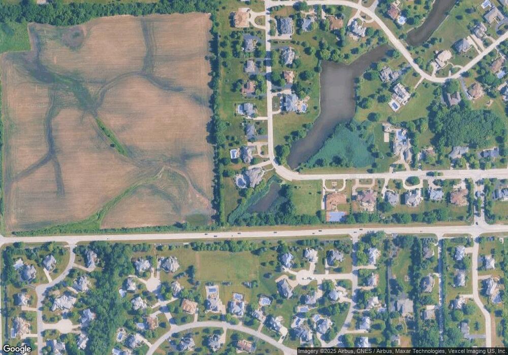
Map
Nearby Homes
- 87 Windmill Rd
- 15141 Arbor Dr
- 80 Windmill Rd
- 15220 Arbor Dr
- 137 Singletree Rd
- 15501 116th Ct
- 15328 Sharon Dr
- 11701 Waters Edge Trail
- 14511 Waters Edge Trail
- 12222 Rambling Rd
- 15022 S Woodcrest Ave Unit 3
- 14405 Creekwood Dr
- 15610 116th Ave
- 11637 Brookview Ln
- 14715 S Woodcrest Ave
- 14467 Creekview Dr
- 11155 Lizmore Ln Unit 35B
- 15657 116th Ave
- Fremont Plan at Kingston Hills
- Briarcliffe Plan at Kingston Hills
- 9 Silo Ridge Rd W
- 10 Silo Ridge Rd W
- 7 Silo Ridge Rd S
- 11 Silo Ridge Rd W Unit 1
- 92 Silo Ridge Rd W
- 91 Silo Ridge Rd S
- 6 Silo Ridge Rd S
- 11740 Shaker Ct
- 11720 Shaker Ct
- 90 Silo Ridge Rd W
- 13 Silo Ridge Rd W
- 11710 Shaker Ct
- 11741 Shaker Ct
- 15111 Vail Ct
- 11800 Arbor Dr
- 89 Silo Ridge Rd W
- 11750 Arbor Dr
- 11820 Arbor Dr
- 15121 Vail Ct
- 14 Silo Ridge Rd W