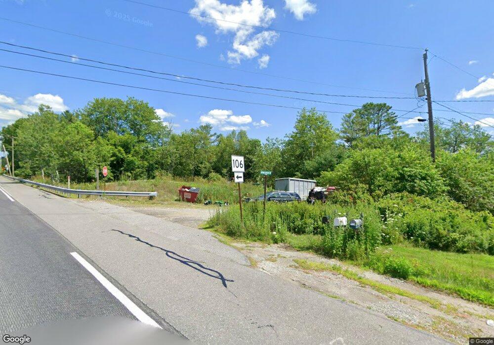
Estimated Value: $363,000 - $445,000
4
Beds
2
Baths
3,164
Sq Ft
$123/Sq Ft
Est. Value
About This Home
This home is located at 8 Springbrook Rd, Leeds, ME 04263 and is currently estimated at $389,639, approximately $123 per square foot. 8 Springbrook Rd is a home located in Androscoggin County with nearby schools including Tripp Middle School and Leavitt Area High School.
Ownership History
Date
Name
Owned For
Owner Type
Purchase Details
Closed on
Oct 1, 2010
Sold by
Ryan Mary
Bought by
Federal National Mortgage Association
Current Estimated Value
Purchase Details
Closed on
Jun 25, 2010
Sold by
Ryan Richard J and Ryan Mary J
Bought by
Ryan John and Ryan 2Nd Richard
Create a Home Valuation Report for This Property
The Home Valuation Report is an in-depth analysis detailing your home's value as well as a comparison with similar homes in the area
Home Values in the Area
Average Home Value in this Area
Purchase History
| Date | Buyer | Sale Price | Title Company |
|---|---|---|---|
| Federal National Mortgage Association | -- | -- | |
| Ryan John | -- | -- |
Source: Public Records
Mortgage History
| Date | Status | Borrower | Loan Amount |
|---|---|---|---|
| Previous Owner | Ryan John | $191,500 |
Source: Public Records
Tax History Compared to Growth
Tax History
| Year | Tax Paid | Tax Assessment Tax Assessment Total Assessment is a certain percentage of the fair market value that is determined by local assessors to be the total taxable value of land and additions on the property. | Land | Improvement |
|---|---|---|---|---|
| 2024 | $3,833 | $310,400 | $63,800 | $246,600 |
| 2023 | $3,740 | $310,400 | $63,800 | $246,600 |
| 2022 | $2,834 | $153,200 | $40,000 | $113,200 |
| 2021 | $2,834 | $153,200 | $40,000 | $113,200 |
| 2020 | $2,847 | $149,600 | $40,000 | $109,600 |
| 2019 | $4,070 | $149,600 | $40,000 | $109,600 |
| 2018 | $848 | $149,600 | $40,000 | $109,600 |
| 2017 | $2,663 | $149,600 | $40,000 | $109,600 |
| 2016 | $3,779 | $130,200 | $40,000 | $90,200 |
| 2015 | $2,129 | $130,200 | $40,000 | $90,200 |
| 2014 | $2,057 | $130,200 | $40,000 | $90,200 |
| 2013 | $2,057 | $130,200 | $40,000 | $90,200 |
Source: Public Records
Map
Nearby Homes
- 35 Star Dr
- 15 Blue Rock Rd Unit 26
- 15 Blue Rock Rd Unit 24
- 15 Blue Rock Rd Unit 34
- 0 Old County Dr
- 44 Country View Dr
- 3 Ridge Rd
- 95 Wiley Rd
- 297 Norris Hill Rd
- 256 Blue Rd
- Lot 29 N Grey Rd
- 723 Main St
- 745 Main St
- 18 Gray Mill Rd
- 37 Birch Ln
- 200 Back St
- 548 Allen Pond Rd
- 33 Sandy Dr
- 51 Sandy Dr
- 65 Bull Run Rd
- 248 Route 202
- 0 Route 106 Route Unit 822398
- 0 Route 106 Route Unit 808958
- 0 Route 106 Parcel A Unit 777216
- 0 Route 106 Route Unit 727842
- 0 Route 106 Route Unit 587053
- 0 Route 106 Route Unit 559167
- 0 Route 106 Route Unit 542237
- 0 Route 106 Route Unit 495903
- 0 Route 106 Route Unit 476513
- 0 Route 106 Route Unit 350377
- 0 Route 106 Route Unit 307678
- 0 Route 106 Route Unit 280984
- 0 Rte 106
- 0 Route 106 Route Unit 467137
- 0 Route 106 Route Unit 466057
- 0 Route 106 Route Unit 337875
- 0 Route 106 Route Unit 782839
- 0 Route 106 Route Unit 679007
- 0 Route 106 Route Unit 273804
