8 Stony Point Rd Westport, CT 06880
Saugatuck NeighborhoodEstimated Value: $1,763,000 - $3,675,000
3
Beds
3
Baths
1,702
Sq Ft
$1,682/Sq Ft
Est. Value
About This Home
This home is located at 8 Stony Point Rd, Westport, CT 06880 and is currently estimated at $2,862,698, approximately $1,681 per square foot. 8 Stony Point Rd is a home located in Fairfield County with nearby schools including King's Highway Elementary School, Coleytown Middle School, and Staples High School.
Ownership History
Date
Name
Owned For
Owner Type
Purchase Details
Closed on
Feb 21, 2024
Sold by
Herbert Dubow T and Herbert Dubow
Bought by
Wearsch Nadia M and Wearsch Thomas M
Current Estimated Value
Home Financials for this Owner
Home Financials are based on the most recent Mortgage that was taken out on this home.
Original Mortgage
$550,000
Outstanding Balance
$539,297
Interest Rate
6.66%
Mortgage Type
Stand Alone Refi Refinance Of Original Loan
Estimated Equity
$2,323,401
Create a Home Valuation Report for This Property
The Home Valuation Report is an in-depth analysis detailing your home's value as well as a comparison with similar homes in the area
Home Values in the Area
Average Home Value in this Area
Purchase History
| Date | Buyer | Sale Price | Title Company |
|---|---|---|---|
| Wearsch Nadia M | $2,750,000 | None Available | |
| Wearsch Nadia M | $2,750,000 | None Available | |
| Wearsch Nadia M | $2,750,000 | None Available |
Source: Public Records
Mortgage History
| Date | Status | Borrower | Loan Amount |
|---|---|---|---|
| Open | Wearsch Nadia M | $550,000 | |
| Closed | Wearsch Nadia M | $550,000 |
Source: Public Records
Tax History Compared to Growth
Tax History
| Year | Tax Paid | Tax Assessment Tax Assessment Total Assessment is a certain percentage of the fair market value that is determined by local assessors to be the total taxable value of land and additions on the property. | Land | Improvement |
|---|---|---|---|---|
| 2025 | $12,299 | $652,100 | $341,600 | $310,500 |
| 2024 | $12,142 | $652,100 | $341,600 | $310,500 |
| 2023 | $11,966 | $652,100 | $341,600 | $310,500 |
| 2022 | $11,783 | $652,100 | $341,600 | $310,500 |
| 2021 | $11,783 | $652,100 | $341,600 | $310,500 |
| 2020 | $10,653 | $637,500 | $383,600 | $253,900 |
| 2019 | $10,748 | $637,500 | $383,600 | $253,900 |
| 2018 | $10,748 | $637,500 | $383,600 | $253,900 |
| 2017 | $10,748 | $637,500 | $383,600 | $253,900 |
| 2016 | $10,748 | $637,500 | $383,600 | $253,900 |
| 2015 | $18,658 | $1,031,400 | $754,000 | $277,400 |
| 2014 | $18,503 | $1,031,400 | $754,000 | $277,400 |
Source: Public Records
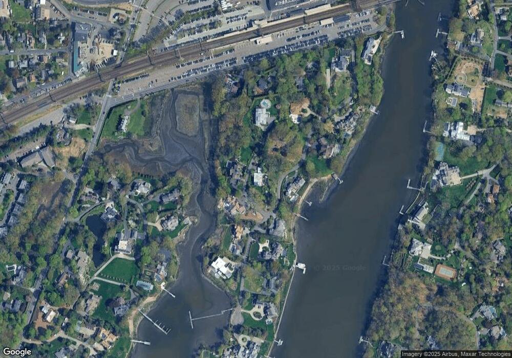
Map
Nearby Homes
- 6 Stony Point Rd
- 11 Manitou Ct
- 202 Bradley Ln Unit 202
- 26 Treadwell Ave
- 23 Bridge St
- 110 William St
- 14 Strathmore Ln
- 7 Renzulli Rd
- 17 Oriole Dr
- 44 King St
- 5 Franklin Ave
- 171 & 169 Compo Rd S
- 171 Compo Rd S
- 42 Kings Hwy S
- 3 Laurel Ln
- 115 Valley Rd
- 24 Compo Pkwy
- 14 Owenoke Park
- 13 Hills Ln
- 39 Compo Pkwy
- 7 Stoney Point Rd
- 6 Stoney Point Rd
- 10 Stoney Point Rd
- 10 Stony Point Rd
- 1 Stoney Point Rd W
- 9 Stoney Point Rd
- 9 Stony Point Rd
- 12 Stoney Point Rd
- 11 Stony Point Rd
- 14 Stoney Point Rd
- 4 Stoney Point Rd
- 9 Burritts Landing N
- 11 Ferry Ln
- 2 Stony Point Rd
- 2 Stony Point Rd
- 5 Stony Point Rd
- 5 Stony Point Rd
- 15 Stony Point Rd
- 11 Burritts Landing N
- 7 Burritts Landing N