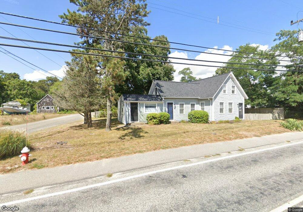
8 Supreme Way Dennis Port, MA 02639
Dennis Port NeighborhoodEstimated Value: $646,000 - $1,016,000
6
Beds
4
Baths
2,070
Sq Ft
$382/Sq Ft
Est. Value
About This Home
This home is located at 8 Supreme Way, Dennis Port, MA 02639 and is currently estimated at $791,261, approximately $382 per square foot. 8 Supreme Way is a home located in Barnstable County with nearby schools including Dennis-Yarmouth Regional High School and St. Pius X. School.
Ownership History
Date
Name
Owned For
Owner Type
Purchase Details
Closed on
May 12, 1998
Sold by
Schreiner Rosemary F
Bought by
Lambert Ronald J and Lambert Karen M
Current Estimated Value
Home Financials for this Owner
Home Financials are based on the most recent Mortgage that was taken out on this home.
Original Mortgage
$117,000
Outstanding Balance
$22,762
Interest Rate
7.05%
Mortgage Type
Purchase Money Mortgage
Estimated Equity
$768,499
Create a Home Valuation Report for This Property
The Home Valuation Report is an in-depth analysis detailing your home's value as well as a comparison with similar homes in the area
Home Values in the Area
Average Home Value in this Area
Purchase History
| Date | Buyer | Sale Price | Title Company |
|---|---|---|---|
| Lambert Ronald J | $130,000 | -- |
Source: Public Records
Mortgage History
| Date | Status | Borrower | Loan Amount |
|---|---|---|---|
| Open | Lambert Ronald J | $117,000 |
Source: Public Records
Tax History Compared to Growth
Tax History
| Year | Tax Paid | Tax Assessment Tax Assessment Total Assessment is a certain percentage of the fair market value that is determined by local assessors to be the total taxable value of land and additions on the property. | Land | Improvement |
|---|---|---|---|---|
| 2025 | $2,483 | $573,500 | $184,500 | $389,000 |
| 2024 | $2,303 | $524,700 | $177,500 | $347,200 |
| 2023 | $2,228 | $477,000 | $161,300 | $315,700 |
| 2022 | $2,153 | $384,500 | $145,300 | $239,200 |
| 2021 | $0 | $393,400 | $142,500 | $250,900 |
| 2020 | $2,248 | $368,600 | $131,500 | $237,100 |
| 2019 | $6,478 | $317,400 | $129,000 | $188,400 |
| 2018 | $0 | $289,600 | $133,000 | $156,600 |
| 2017 | $1,678 | $272,900 | $122,800 | $150,100 |
| 2016 | $1,617 | $247,700 | $127,900 | $119,800 |
| 2015 | $1,585 | $247,700 | $127,900 | $119,800 |
| 2014 | $1,475 | $232,300 | $112,500 | $119,800 |
Source: Public Records
Map
Nearby Homes
- 102 Sea St
- 22 Ferncliff Rd
- 12 Cross St
- 402 Old Wharf Rd
- 402 Old Wharf Rd
- 26 Manning Rd
- 405 Old Wharf Rd Unit B204
- 405 Old Wharf Rd Unit B204
- 11 Ocean Park W
- 37-A Beach Hills Rd
- 159 Center St Unit 22
- 37 Beach Hills Rd
- 9 Chase Ave Unit 6
- 22 Wixon Rd
- 31 Easy St
- 72 Bassett Ln
- 262 Old Wharf Rd Unit 67
- 262 Old Wharf Rd Unit 5
- 262 Old Wharf Rd Unit 5
- 262 Old Wharf Rd Unit 20
- 8 Supreme Way Unit 2
- 336 Lower County Rd
- 12 Supreme Way
- 342 Lower County Rd
- 342 Lower County Rd Unit 342
- 342 Lower County Rd Unit 2
- 342 Lower County Rd Unit 2
- 342 Lower County Rd Unit 1-4
- 342 Lower County Rd Unit 1
- 330 Lower County Rd
- 11 Supreme Way
- 343 Lower County Rd
- 343 Lower County Rd Unit 1,2,3
- 343 Lower County Rd Unit C
- 343 Lower County Rd Unit A
- 343 Lower County Rd Unit B
- 15 Supreme Way
- 355 Lower County Rd
- 348 Lower County Rd
- 20 Supreme Way