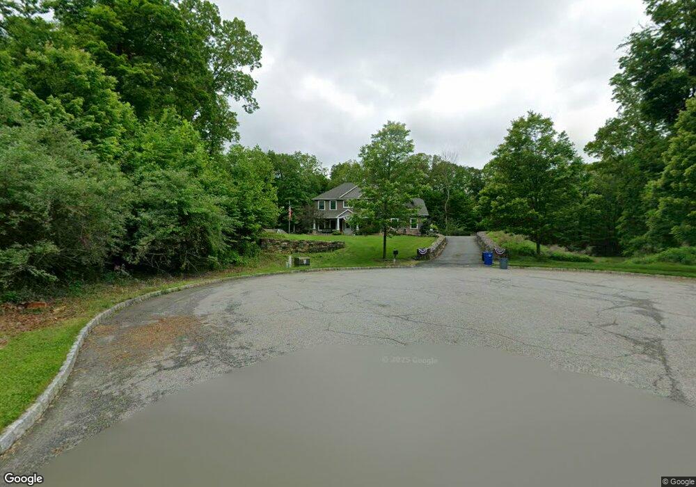
8 Tanner Ct Newton, NJ 07860
Estimated Value: $756,092 - $912,000
--
Bed
--
Bath
3,447
Sq Ft
$234/Sq Ft
Est. Value
About This Home
This home is located at 8 Tanner Ct, Newton, NJ 07860 and is currently estimated at $807,523, approximately $234 per square foot. 8 Tanner Ct is a home with nearby schools including Marian E. McKeown School, Kittatinny Regional High School, and Northwest Christian School.
Ownership History
Date
Name
Owned For
Owner Type
Purchase Details
Closed on
May 20, 2011
Sold by
Lombreglia Lawrence T
Bought by
Doone Garth and Doone Christina
Current Estimated Value
Home Financials for this Owner
Home Financials are based on the most recent Mortgage that was taken out on this home.
Original Mortgage
$325,000
Outstanding Balance
$224,252
Interest Rate
4.88%
Mortgage Type
New Conventional
Estimated Equity
$583,271
Purchase Details
Closed on
Dec 21, 2009
Sold by
Stone Rows At Halsey Station Llc
Bought by
Lombreglia Lawrence T
Create a Home Valuation Report for This Property
The Home Valuation Report is an in-depth analysis detailing your home's value as well as a comparison with similar homes in the area
Home Values in the Area
Average Home Value in this Area
Purchase History
| Date | Buyer | Sale Price | Title Company |
|---|---|---|---|
| Doone Garth | $465,000 | Chicago Title Insurance Co | |
| Lombreglia Lawrence T | $100,000 | None Available |
Source: Public Records
Mortgage History
| Date | Status | Borrower | Loan Amount |
|---|---|---|---|
| Open | Doone Garth | $325,000 |
Source: Public Records
Tax History Compared to Growth
Tax History
| Year | Tax Paid | Tax Assessment Tax Assessment Total Assessment is a certain percentage of the fair market value that is determined by local assessors to be the total taxable value of land and additions on the property. | Land | Improvement |
|---|---|---|---|---|
| 2025 | $14,353 | $430,000 | $114,300 | $315,700 |
| 2024 | $13,592 | $430,000 | $114,300 | $315,700 |
| 2023 | $13,592 | $430,000 | $114,300 | $315,700 |
| 2022 | $13,261 | $430,000 | $114,300 | $315,700 |
| 2021 | $12,887 | $430,000 | $114,300 | $315,700 |
| 2020 | $12,840 | $430,000 | $114,300 | $315,700 |
| 2019 | $12,724 | $430,000 | $114,300 | $315,700 |
| 2018 | $12,479 | $430,000 | $114,300 | $315,700 |
| 2017 | $12,225 | $430,000 | $114,300 | $315,700 |
| 2016 | $11,868 | $430,000 | $114,300 | $315,700 |
| 2015 | $11,133 | $430,000 | $114,300 | $315,700 |
| 2014 | $11,004 | $430,000 | $114,300 | $315,700 |
Source: Public Records
Map
Nearby Homes
- 2 - 4 Garrett Dr
- 86 County Road 521
- 301 Lakewood Terrace
- 37 Cypress Dr
- 1007 Hillside Ave
- 208 Highland Ave
- 4 Grove St
- 52 Church Rd
- 221 Fairview Ave
- 25 County Road 521
- 21 Lake Rd
- 30 Old Swartswood Rd
- 90 Kemah Mecca Lake Rd
- 1071 County Road 521
- 137 Hampton House Rd
- 59 Newton Ave
- 1055-1057 Rt521
- 41 Swartswood Rd
- 1049 County Road 521
- 2 Sparrow CI