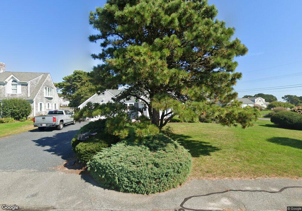
8 Thirzas Way West Dennis, MA 02670
West Dennis NeighborhoodEstimated Value: $1,120,000 - $1,585,000
3
Beds
3
Baths
2,112
Sq Ft
$665/Sq Ft
Est. Value
About This Home
This home is located at 8 Thirzas Way, West Dennis, MA 02670 and is currently estimated at $1,404,563, approximately $665 per square foot. 8 Thirzas Way is a home located in Barnstable County with nearby schools including Dennis-Yarmouth Regional High School and St. Pius X. School.
Ownership History
Date
Name
Owned For
Owner Type
Purchase Details
Closed on
Sep 27, 2019
Sold by
Lessard Camille F
Bought by
Camille Ft
Current Estimated Value
Purchase Details
Closed on
May 5, 2015
Sold by
Lessard Rt and Lessard Camille F
Bought by
Lessard Camille R
Purchase Details
Closed on
Sep 18, 2006
Sold by
Lessard Ft and Lessard Camille F
Bought by
Lessard Rt and Lessard Camille F
Purchase Details
Closed on
Jul 7, 1989
Sold by
Kelly Edward L
Bought by
Lessard Paul P
Home Financials for this Owner
Home Financials are based on the most recent Mortgage that was taken out on this home.
Original Mortgage
$175,000
Interest Rate
10.38%
Mortgage Type
Purchase Money Mortgage
Create a Home Valuation Report for This Property
The Home Valuation Report is an in-depth analysis detailing your home's value as well as a comparison with similar homes in the area
Home Values in the Area
Average Home Value in this Area
Purchase History
| Date | Buyer | Sale Price | Title Company |
|---|---|---|---|
| Camille Ft | -- | -- | |
| Lessard Camille R | -- | -- | |
| Lessard Rt | -- | -- | |
| Lessard Paul P | $265,000 | -- |
Source: Public Records
Mortgage History
| Date | Status | Borrower | Loan Amount |
|---|---|---|---|
| Previous Owner | Lessard Paul P | $85,000 | |
| Previous Owner | Lessard Paul P | $87,000 | |
| Previous Owner | Lessard Paul P | $191,000 | |
| Previous Owner | Lessard Paul P | $175,000 |
Source: Public Records
Tax History Compared to Growth
Tax History
| Year | Tax Paid | Tax Assessment Tax Assessment Total Assessment is a certain percentage of the fair market value that is determined by local assessors to be the total taxable value of land and additions on the property. | Land | Improvement |
|---|---|---|---|---|
| 2025 | $5,497 | $1,269,400 | $650,800 | $618,600 |
| 2024 | $5,345 | $1,217,600 | $625,800 | $591,800 |
| 2023 | $5,170 | $1,107,000 | $568,900 | $538,100 |
| 2022 | $4,670 | $833,900 | $434,100 | $399,800 |
| 2021 | $4,652 | $771,500 | $425,600 | $345,900 |
| 2020 | $4,585 | $751,600 | $425,600 | $326,000 |
| 2019 | $4,369 | $708,100 | $417,300 | $290,800 |
| 2018 | $4,225 | $666,400 | $397,200 | $269,200 |
| 2017 | $4,098 | $666,400 | $397,200 | $269,200 |
| 2016 | $4,403 | $674,200 | $446,900 | $227,300 |
| 2015 | $4,315 | $674,200 | $446,900 | $227,300 |
| 2014 | $4,235 | $667,000 | $446,900 | $220,100 |
Source: Public Records
Map
Nearby Homes
- 2 Rita Mary Way
- 181 Pleasant St
- 745 Willow St
- 308 Old Main St
- 17 South St
- 14 Schoolhouse Ln
- 209 Main St Unit 3
- 209 Main St Unit 6
- 209 Main St Unit 1
- 209 Main St Unit 2
- 209 Main St Unit 4
- 209 Main St Unit 5
- 22 Powhatan Rd
- 4 Braddock St
- 40 Kelley Rd
- 45 Seth Ln
- 9 Cedar St
- 178 School St
- 9 Victory Ln
- 23 Doric Ave