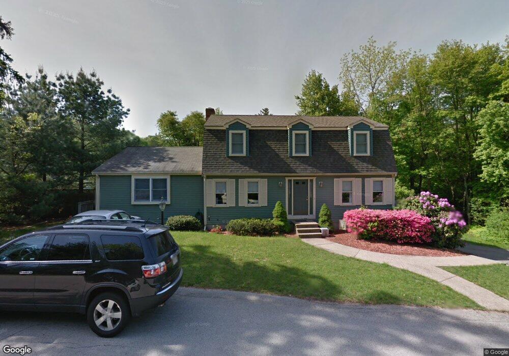
8 Tommy Marks Way South Weymouth, MA 02190
South Weymouth NeighborhoodEstimated Value: $851,661 - $1,036,000
5
Beds
3
Baths
2,432
Sq Ft
$383/Sq Ft
Est. Value
About This Home
This home is located at 8 Tommy Marks Way, South Weymouth, MA 02190 and is currently estimated at $930,665, approximately $382 per square foot. 8 Tommy Marks Way is a home located in Norfolk County with nearby schools including Thomas V Nash, Abigail Adams Middle School, and Weymouth Middle School Chapman.
Ownership History
Date
Name
Owned For
Owner Type
Purchase Details
Closed on
Aug 18, 2010
Sold by
Bradley Genevieve R and Laubenstein Stephanie A
Bought by
Laubenstein Stephanie A and Laubenstein Michael F
Current Estimated Value
Purchase Details
Closed on
Sep 15, 1999
Sold by
Galvin Sean W and Galvin Kathleen A
Bought by
Bradley Genevieve R
Create a Home Valuation Report for This Property
The Home Valuation Report is an in-depth analysis detailing your home's value as well as a comparison with similar homes in the area
Home Values in the Area
Average Home Value in this Area
Purchase History
| Date | Buyer | Sale Price | Title Company |
|---|---|---|---|
| Laubenstein Stephanie A | -- | -- | |
| Bradley Genevieve R | $263,000 | -- |
Source: Public Records
Mortgage History
| Date | Status | Borrower | Loan Amount |
|---|---|---|---|
| Open | Bradley Genevieve R | $200,000 | |
| Previous Owner | Bradley Genevieve R | $180,000 |
Source: Public Records
Tax History Compared to Growth
Tax History
| Year | Tax Paid | Tax Assessment Tax Assessment Total Assessment is a certain percentage of the fair market value that is determined by local assessors to be the total taxable value of land and additions on the property. | Land | Improvement |
|---|---|---|---|---|
| 2025 | $7,913 | $783,500 | $227,800 | $555,700 |
| 2024 | $6,865 | $668,500 | $217,000 | $451,500 |
| 2023 | $6,739 | $644,900 | $219,200 | $425,700 |
| 2022 | $6,538 | $570,500 | $202,900 | $367,600 |
| 2021 | $6,024 | $513,100 | $202,900 | $310,200 |
| 2020 | $5,792 | $485,900 | $202,900 | $283,000 |
| 2019 | $5,649 | $466,100 | $195,100 | $271,000 |
| 2018 | $5,465 | $437,200 | $185,800 | $251,400 |
| 2017 | $5,376 | $419,700 | $177,000 | $242,700 |
| 2016 | $5,167 | $403,700 | $170,200 | $233,500 |
| 2015 | $4,939 | $382,900 | $170,200 | $212,700 |
| 2014 | $4,765 | $358,300 | $158,400 | $199,900 |
Source: Public Records
Map
Nearby Homes
- 308 Forest St
- 16 Jay Rd
- 24 Fisher Rd
- 68 Massapoag St Unit 7
- 92 Mercury St
- 354 Tilden Commons Ln
- 262 West St
- 255 West St
- 134 Tyson Commons Ln
- 211 Randolph St
- 193 Randolph St
- 175 Tyson Commons Ln
- 655 Summer St
- 30 Bradford Commons Ln
- 120 Randolph St
- 441 Grove St
- 2 Mitchell Ln Unit B
- 432 Grove St
- 27 Park Ave
- 50 Hollis St
- 276 Forest St
- 17 Tommy Marks Way
- 24 Tommy Marks Way
- 296 Forest St
- 279 Forest St
- 289 Forest St
- 302 Forest St
- 260 Forest St
- 271 Forest St
- 32 Tommy Marks Way
- 295 Forest St
- 27 Tommy Marks Way
- 15 Jay Rd
- 267 Forest St
- 261 Forest St
- 254 Forest St
- 255 Forest St
- 39 Tommy Marks Way
- 20 Jay Rd
- 40 Tommy Marks Way