8 Topping Ln Norwalk, CT 06854
Brookside NeighborhoodEstimated Value: $1,165,000 - $1,460,000
6
Beds
4
Baths
3,901
Sq Ft
$345/Sq Ft
Est. Value
About This Home
This home is located at 8 Topping Ln, Norwalk, CT 06854 and is currently estimated at $1,344,144, approximately $344 per square foot. 8 Topping Ln is a home located in Fairfield County with nearby schools including Brookside Elementary School, Roton Middle School, and Brien Mcmahon High School.
Ownership History
Date
Name
Owned For
Owner Type
Purchase Details
Closed on
Nov 22, 1996
Sold by
Baer Nancy P
Bought by
Cesare Edward and Cesare Christine
Current Estimated Value
Purchase Details
Closed on
Jun 1, 1993
Sold by
Farb Jane
Bought by
Baer Robert and Baer Nancy
Create a Home Valuation Report for This Property
The Home Valuation Report is an in-depth analysis detailing your home's value as well as a comparison with similar homes in the area
Home Values in the Area
Average Home Value in this Area
Purchase History
| Date | Buyer | Sale Price | Title Company |
|---|---|---|---|
| Cesare Edward | $470,000 | -- | |
| Cesare Edward | $470,000 | -- | |
| Baer Robert | $420,000 | -- | |
| Baer Robert | $420,000 | -- |
Source: Public Records
Mortgage History
| Date | Status | Borrower | Loan Amount |
|---|---|---|---|
| Open | Baer Robert | $800,000 | |
| Closed | Baer Robert | $100,000 | |
| Closed | Baer Robert | $500,000 |
Source: Public Records
Tax History Compared to Growth
Tax History
| Year | Tax Paid | Tax Assessment Tax Assessment Total Assessment is a certain percentage of the fair market value that is determined by local assessors to be the total taxable value of land and additions on the property. | Land | Improvement |
|---|---|---|---|---|
| 2025 | $18,661 | $786,050 | $273,000 | $513,050 |
| 2024 | $18,374 | $786,050 | $273,000 | $513,050 |
| 2023 | $15,849 | $634,820 | $231,000 | $403,820 |
| 2022 | $15,600 | $634,820 | $231,000 | $403,820 |
| 2021 | $13,274 | $634,820 | $231,000 | $403,820 |
| 2020 | $14,986 | $634,820 | $231,000 | $403,820 |
| 2019 | $14,473 | $634,820 | $231,000 | $403,820 |
| 2018 | $14,402 | $555,420 | $239,400 | $316,020 |
| 2017 | $13,899 | $555,420 | $239,400 | $316,020 |
| 2016 | $14,130 | $555,420 | $239,400 | $316,020 |
| 2015 | $12,691 | $555,420 | $239,400 | $316,020 |
| 2014 | $13,908 | $555,420 | $239,400 | $316,020 |
Source: Public Records
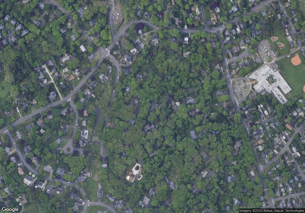
Map
Nearby Homes
- 9 Hollow Spring Rd
- 19 Woodchuck Ct
- 7 Hadik Pkwy
- 73 Devils Garden Rd
- 47 Glasser St
- 13 Joemar Rd
- 9 Observatory Place Unit A
- 17 Woodlawn Ave
- 18 Soundview Ave
- 39 Chatham Dr
- 133 Rowayton Woods Dr
- 40 Arnold Ln
- 171 Rowayton Woods Dr Unit 171
- 7 Moscariello Place
- 105 Richards Ave Unit 2305
- 5 Rockland Rd Unit A8
- 97 Richards Ave Unit B10
- 97 Richards Ave Unit E12
- 1 Horizon Dr Unit 2
- 52 Lexington Ave