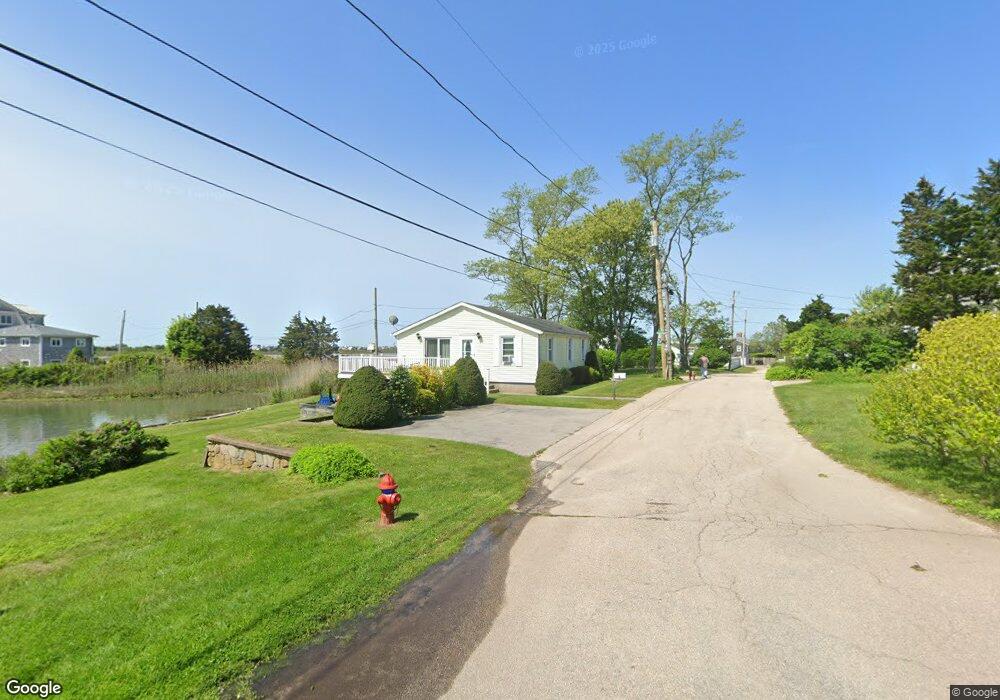
8 Utter St Westerly, RI 02891
Estimated Value: $1,131,318 - $1,760,000
2
Beds
1
Bath
888
Sq Ft
$1,759/Sq Ft
Est. Value
About This Home
This home is located at 8 Utter St, Westerly, RI 02891 and is currently estimated at $1,562,080, approximately $1,759 per square foot. 8 Utter St is a home with nearby schools including Westerly High School.
Ownership History
Date
Name
Owned For
Owner Type
Purchase Details
Closed on
Jan 6, 2026
Sold by
Krupinski Mary N
Bought by
Kenneth R Corneau Irt and Corneau
Current Estimated Value
Create a Home Valuation Report for This Property
The Home Valuation Report is an in-depth analysis detailing your home's value as well as a comparison with similar homes in the area
Home Values in the Area
Average Home Value in this Area
Purchase History
| Date | Buyer | Sale Price | Title Company |
|---|---|---|---|
| Kenneth R Corneau Irt | -- | -- |
Source: Public Records
Tax History
| Year | Tax Paid | Tax Assessment Tax Assessment Total Assessment is a certain percentage of the fair market value that is determined by local assessors to be the total taxable value of land and additions on the property. | Land | Improvement |
|---|---|---|---|---|
| 2025 | $8,171 | $1,149,200 | $973,800 | $175,400 |
| 2024 | $7,708 | $785,700 | $640,100 | $145,600 |
| 2023 | $7,558 | $785,700 | $640,100 | $145,600 |
| 2022 | $7,777 | $813,500 | $698,300 | $115,200 |
| 2021 | $5,814 | $504,700 | $430,500 | $74,200 |
| 2020 | $5,708 | $504,700 | $430,500 | $74,200 |
| 2019 | $5,653 | $504,700 | $430,500 | $74,200 |
| 2018 | $5,822 | $490,100 | $430,500 | $59,600 |
| 2017 | $5,680 | $490,100 | $430,500 | $59,600 |
| 2016 | $5,724 | $490,100 | $430,500 | $59,600 |
| 2015 | $5,441 | $502,900 | $439,300 | $63,600 |
| 2014 | $5,351 | $502,900 | $439,300 | $63,600 |
Source: Public Records
Map
Nearby Homes
- 20 Snowberry Ln
- 46 Salt Pond Way
- 30 Clifford Dr
- 22 Breach Dr
- 597 Atlantic Ave
- 15 Breach Dr
- 446 Atlantic Ave
- 11 Bucks Trail
- 37 Urso Dr
- 432 Atlantic Ave
- 13 Plateau Rd
- 7 Fenway Rd
- 43 Noyes Neck Rd
- 112 Noyes Neck Rd
- 19 Wicklow Rd
- 54 Sherwood Dr
- 8 Kettle Close
- 1 Compass Way Unit A103
- 5 Robin Hollow Ln
- 9 Compass Way Unit 201
Your Personal Tour Guide
Ask me questions while you tour the home.