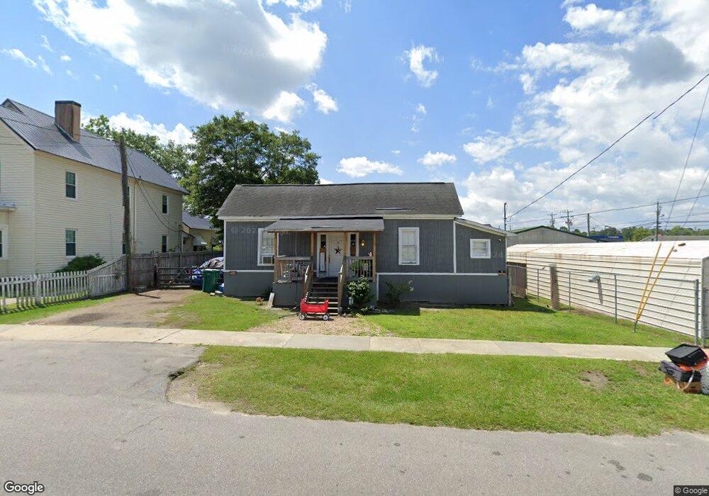
8 W Huggins St Manning, SC 29102
Estimated Value: $64,000 - $160,000
Studio
--
Bath
1,392
Sq Ft
$91/Sq Ft
Est. Value
About This Home
This home is located at 8 W Huggins St, Manning, SC 29102 and is currently estimated at $126,333, approximately $90 per square foot. 8 W Huggins St is a home with nearby schools including Laurence Manning Academy.
Ownership History
Date
Name
Owned For
Owner Type
Purchase Details
Closed on
Apr 11, 2023
Sold by
Weinberg Julien
Bought by
Michael Miller Properties Llc
Current Estimated Value
Home Financials for this Owner
Home Financials are based on the most recent Mortgage that was taken out on this home.
Original Mortgage
$100,000
Outstanding Balance
$49,117
Interest Rate
6.65%
Mortgage Type
Credit Line Revolving
Estimated Equity
$77,216
Purchase Details
Closed on
Dec 29, 2009
Sold by
Weinberg Julien
Bought by
Bennett Alfred and Bennett Sharon
Purchase Details
Closed on
Dec 1, 2009
Sold by
Weinberg Julien
Bought by
Bennett Alfred and Bennett Sharon
Create a Home Valuation Report for This Property
The Home Valuation Report is an in-depth analysis detailing your home's value as well as a comparison with similar homes in the area
Home Values in the Area
Average Home Value in this Area
Purchase History
| Date | Buyer | Sale Price | Title Company |
|---|---|---|---|
| Michael Miller Properties Llc | $105,000 | None Listed On Document | |
| Bennett Alfred | -- | None Available | |
| Bennett Alfred | -- | None Available |
Source: Public Records
Mortgage History
| Date | Status | Borrower | Loan Amount |
|---|---|---|---|
| Open | Michael Miller Properties Llc | $100,000 |
Source: Public Records
Tax History
| Year | Tax Paid | Tax Assessment Tax Assessment Total Assessment is a certain percentage of the fair market value that is determined by local assessors to be the total taxable value of land and additions on the property. | Land | Improvement |
|---|---|---|---|---|
| 2025 | $1,281 | $2,034 | $720 | $1,314 |
| 2024 | $1,114 | $2,034 | $720 | $1,314 |
| 2023 | $1,022 | $1,914 | $600 | $1,314 |
| 2022 | $1,010 | $1,914 | $600 | $1,314 |
| 2021 | $989 | $2,076 | $600 | $1,476 |
| 2020 | $989 | $2,076 | $0 | $0 |
| 2019 | $960 | $2,076 | $0 | $0 |
| 2018 | $942 | $2,076 | $0 | $0 |
| 2017 | $930 | $2,076 | $0 | $0 |
| 2016 | $926 | $2,076 | $0 | $0 |
| 2015 | $903 | $2,130 | $600 | $1,530 |
| 2014 | $898 | $2,130 | $600 | $1,530 |
| 2013 | -- | $2,130 | $600 | $1,530 |
Source: Public Records
Map
Nearby Homes
- 5301 Cypress Pointe #D301
- 202 E Huggins St
- 200 W Boyce St
- 0 Dyson St
- 101 Sumter St
- 250 Dyson St
- 408 Toccoa Dr
- 227 N Church St
- 225 Reardon St
- 126 Hillcrest St
- TBD S Carolina 260
- 406 Thames St
- 314 Hopkins St
- 416 Thames St
- 1000 Carolina Way
- TBD W Huggins St
- 610 Gib Dr
- 633 Sykes St
- 617 Pickwood Dr
- 623 Pickwood Dr
- 4 W Huggins St
- 0 W Huggins St
- 201 S Brooks St
- 161820 S Brooks St
- 209 S Brooks St
- 0000 S Brooks St
- 000 S Brooks St
- N/A Deertrail Boat Slip #4
- 200 S Brooks St
- 220 S Mill St
- 210 S Brooks St
- 0001 10 District
- 317 Lake Arbu Dr and Wood Lake Boat Slip 49
- 10 E Keitt St
- 4 Keitt St
- 10 W Winfield St
- 43 W Huggins St
- 206 S Boundary St
- 48 W Huggins St
- 205 S Church St
Your Personal Tour Guide
Ask me questions while you tour the home.