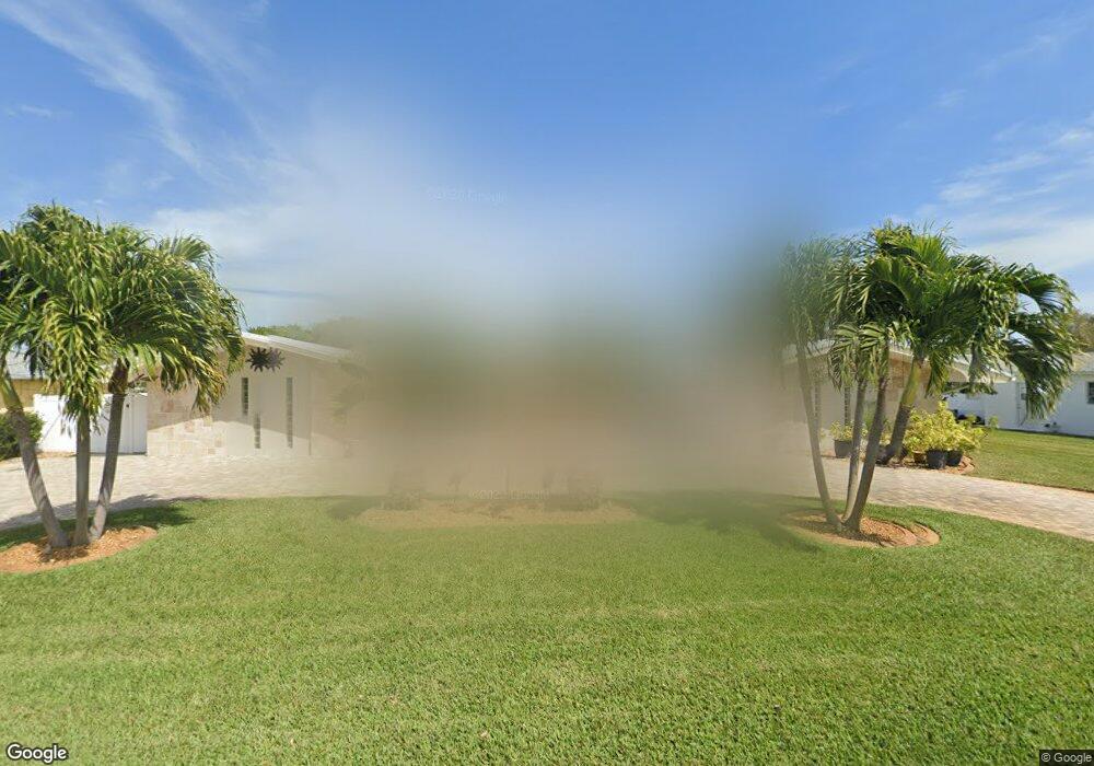
8 W Point Dr Cocoa Beach, FL 32931
Estimated Value: $957,000 - $1,324,000
3
Beds
2
Baths
2,214
Sq Ft
$512/Sq Ft
Est. Value
About This Home
This home is located at 8 W Point Dr, Cocoa Beach, FL 32931 and is currently estimated at $1,133,813, approximately $512 per square foot. 8 W Point Dr is a home located in Brevard County with nearby schools including Theodore Roosevelt Elementary School, Cocoa Beach Junior/Senior High School, and Cocoa Beach Christian School.
Ownership History
Date
Name
Owned For
Owner Type
Purchase Details
Closed on
Jun 1, 2017
Bought by
Joseph W Greene Jr Revocable L
Current Estimated Value
Purchase Details
Closed on
Jan 27, 2005
Sold by
Thomson W Scott and The Marilyn M Thomson Revocabl
Bought by
Greene Joseph W and Greene Judith A
Home Financials for this Owner
Home Financials are based on the most recent Mortgage that was taken out on this home.
Original Mortgage
$235,000
Interest Rate
5.66%
Create a Home Valuation Report for This Property
The Home Valuation Report is an in-depth analysis detailing your home's value as well as a comparison with similar homes in the area
Home Values in the Area
Average Home Value in this Area
Purchase History
| Date | Buyer | Sale Price | Title Company |
|---|---|---|---|
| Joseph W Greene Jr Revocable L | $100 | -- | |
| Greene Joseph W | -- | None Available | |
| Greene Joseph W | $635,000 | American Pioneer Title Insur |
Source: Public Records
Mortgage History
| Date | Status | Borrower | Loan Amount |
|---|---|---|---|
| Previous Owner | Greene Joseph W | $235,000 | |
| Closed | Greene Joseph W | $100,000 |
Source: Public Records
Tax History Compared to Growth
Tax History
| Year | Tax Paid | Tax Assessment Tax Assessment Total Assessment is a certain percentage of the fair market value that is determined by local assessors to be the total taxable value of land and additions on the property. | Land | Improvement |
|---|---|---|---|---|
| 2025 | $4,296 | $358,300 | -- | -- |
| 2024 | $4,300 | $348,210 | -- | -- |
| 2023 | $4,300 | $338,070 | $0 | $0 |
| 2022 | $4,009 | $328,230 | $0 | $0 |
| 2021 | $4,130 | $318,670 | $0 | $0 |
| 2020 | $4,071 | $314,280 | $0 | $0 |
| 2019 | $4,029 | $307,220 | $0 | $0 |
| 2018 | $4,052 | $301,500 | $0 | $0 |
| 2017 | $4,111 | $295,300 | $0 | $0 |
| 2016 | $4,199 | $289,230 | $230,000 | $59,230 |
| 2015 | $3,987 | $264,480 | $200,000 | $64,480 |
| 2014 | $4,021 | $262,390 | $200,000 | $62,390 |
Source: Public Records
Map
Nearby Homes
- 1790 Bayshore Dr
- 1529 Bayshore Dr
- 1441 Bayshore Dr
- 30 Indian Village Trail
- 1630 S Atlantic Ave
- 2050 S Atlantic Ave
- 1525 S Atlantic Ave Unit 401
- 1527 S Atlantic Ave Unit 201
- 1563 S Atlantic Ave Unit 13
- 1700 S Atlantic Ave Unit 104
- 1277 S Orlando Ave Unit 4B
- 1305 S Atlantic Ave Unit 350
- 1305 S Atlantic Ave Unit 450
- 2001 Julep Dr Unit 206- 3rd Floor
- 1251 S Atlantic Ave Unit 403
- 2021 S Orlando Ave
- 2022 Julep Dr Unit 304
- 1181 S Atlantic Ave
- 1155 S Atlantic Ave Unit 203
- 1145 S Atlantic Ave Unit B
- 8 West Point Dr
- 9 West Point Dr
- 9 W Point Dr
- 7 W Point Dr
- 7 West Point Dr
- 10 West Point Dr
- 28 West Point Dr
- 27 West Point Dr
- 6 West Point Dr
- 29 W Point Dr
- 29 West Point Dr
- 26 West Point Dr
- 1746 Bayshore Dr
- 30 W Point Dr
- 11 West Point Dr
- 30 West Point Dr
- 25 W Point Dr
- 11 W Point Dr
- 25 West Point Dr
- 5 West Point Dr