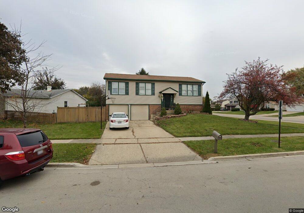
8 W Stevenson Dr Glendale Heights, IL 60139
Estimated Value: $342,000 - $379,000
3
Beds
2
Baths
2,310
Sq Ft
$159/Sq Ft
Est. Value
About This Home
This home is located at 8 W Stevenson Dr, Glendale Heights, IL 60139 and is currently estimated at $367,397, approximately $159 per square foot. 8 W Stevenson Dr is a home located in DuPage County with nearby schools including Americana Intermediate School, Glenside Middle School, and Glenbard North High School.
Ownership History
Date
Name
Owned For
Owner Type
Purchase Details
Closed on
Nov 14, 2018
Sold by
Zaidi Ahmed and Zaidi Sadaf Anjum
Bought by
Zaidi Omer A
Current Estimated Value
Home Financials for this Owner
Home Financials are based on the most recent Mortgage that was taken out on this home.
Original Mortgage
$196,650
Outstanding Balance
$169,982
Interest Rate
4%
Mortgage Type
Adjustable Rate Mortgage/ARM
Estimated Equity
$197,415
Purchase Details
Closed on
Sep 2, 2004
Sold by
Nicholson Timothy C and Nicholson Nancy A
Bought by
Zaidi Ahmed
Home Financials for this Owner
Home Financials are based on the most recent Mortgage that was taken out on this home.
Original Mortgage
$193,600
Interest Rate
5.25%
Mortgage Type
New Conventional
Create a Home Valuation Report for This Property
The Home Valuation Report is an in-depth analysis detailing your home's value as well as a comparison with similar homes in the area
Home Values in the Area
Average Home Value in this Area
Purchase History
| Date | Buyer | Sale Price | Title Company |
|---|---|---|---|
| Zaidi Omer A | $207,000 | Fidelity National Title | |
| Zaidi Ahmed | $242,000 | Atg |
Source: Public Records
Mortgage History
| Date | Status | Borrower | Loan Amount |
|---|---|---|---|
| Open | Zaidi Omer A | $196,650 | |
| Previous Owner | Zaidi Ahmed | $193,600 | |
| Closed | Zaidi Ahmed | $36,300 |
Source: Public Records
Tax History Compared to Growth
Tax History
| Year | Tax Paid | Tax Assessment Tax Assessment Total Assessment is a certain percentage of the fair market value that is determined by local assessors to be the total taxable value of land and additions on the property. | Land | Improvement |
|---|---|---|---|---|
| 2024 | $9,044 | $106,856 | $23,313 | $83,543 |
| 2023 | $8,736 | $97,720 | $21,320 | $76,400 |
| 2022 | $9,135 | $97,040 | $21,180 | $75,860 |
| 2021 | $8,647 | $92,200 | $20,120 | $72,080 |
| 2020 | $8,325 | $89,950 | $19,630 | $70,320 |
| 2019 | $8,063 | $86,440 | $18,860 | $67,580 |
| 2018 | $7,285 | $70,770 | $18,370 | $52,400 |
| 2017 | $7,069 | $65,600 | $17,030 | $48,570 |
| 2016 | $6,800 | $60,710 | $15,760 | $44,950 |
| 2015 | $6,677 | $56,660 | $14,710 | $41,950 |
| 2014 | $7,693 | $63,870 | $14,710 | $49,160 |
| 2013 | $7,588 | $66,050 | $15,210 | $50,840 |
Source: Public Records
Map
Nearby Homes
- 1760 Lombard Ct
- 10 W Nevada Ave
- 39 Mill Pond Dr
- 1890 Harvest Ln
- 1713 Schmale Rd
- 134 W Montana Ave
- 152 W Montana Ave
- 200 Ahmed Ct
- 203 Ahmed Ct
- 67 Stonefield Dr
- 56 N Golfview Ct
- 2018 Stonefield Dr
- 251 Polo Club Dr
- 133 Harding Ct
- 1500 Golfview Ct Unit 5
- 1900 Basswood Ln
- 307 E Alpine Dr
- 108 Golfview Dr
- 1943 Towner Ln
- 2N643 Diane Ave
- 12 W Stevenson Dr
- 1790 President St
- 18 W Stevenson Dr
- 1770 President St
- 1781 President St
- 11 W Stevenson Dr
- 1787 President St
- 22 W Stevenson Dr
- 1791 President St
- 19 W Stevenson Dr
- 7 Hesterman Dr
- 1771 President St
- 1797 President St
- 1773 Hemlock Dr Unit 2
- 28 W Stevenson Dr
- 10 Opal Ave
- 25 W Stevenson Dr
- 13 Hesterman Dr
- 1760 President St
- 1767 President St