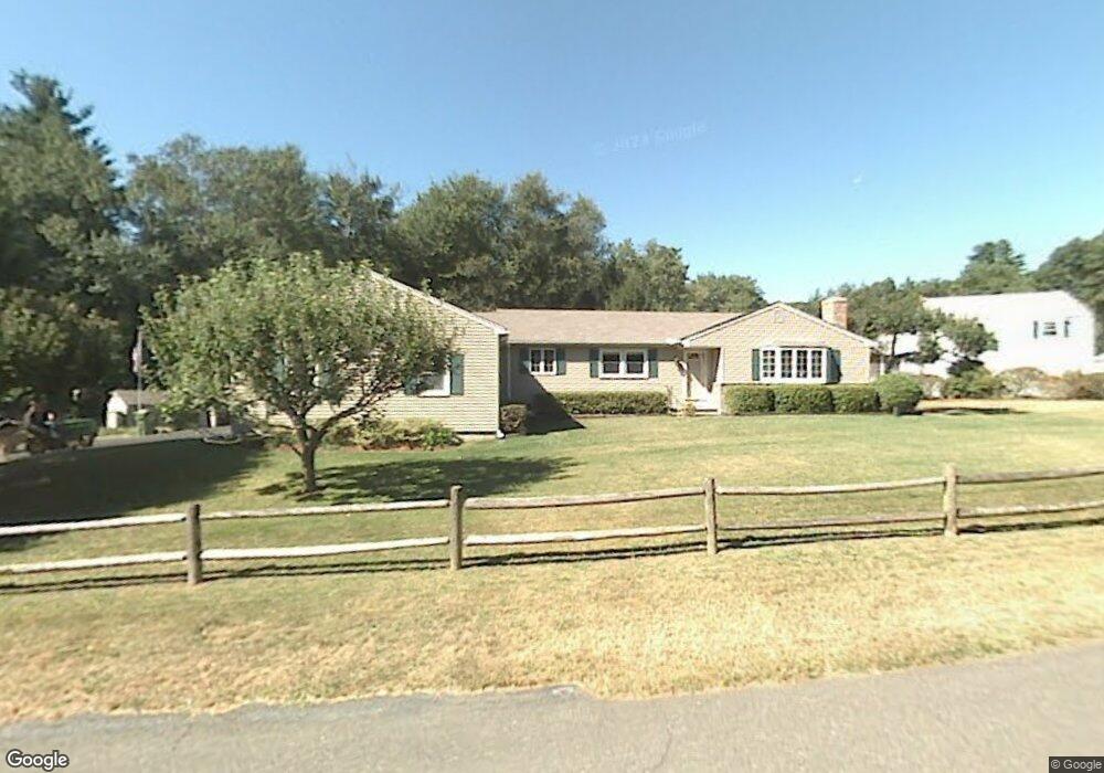
8 Wescott Rd Simsbury, CT 06070
Estimated Value: $403,000 - $464,000
4
Beds
2
Baths
1,724
Sq Ft
$254/Sq Ft
Est. Value
About This Home
This home is located at 8 Wescott Rd, Simsbury, CT 06070 and is currently estimated at $438,414, approximately $254 per square foot. 8 Wescott Rd is a home located in Hartford County with nearby schools including Tariffville School, Henry James Memorial School, and Simsbury High School.
Ownership History
Date
Name
Owned For
Owner Type
Purchase Details
Closed on
May 10, 2010
Sold by
Scheidel David A and Scheidel Jean S
Bought by
Miller Lawanda L
Current Estimated Value
Home Financials for this Owner
Home Financials are based on the most recent Mortgage that was taken out on this home.
Original Mortgage
$272,650
Interest Rate
5.03%
Create a Home Valuation Report for This Property
The Home Valuation Report is an in-depth analysis detailing your home's value as well as a comparison with similar homes in the area
Home Values in the Area
Average Home Value in this Area
Purchase History
| Date | Buyer | Sale Price | Title Company |
|---|---|---|---|
| Miller Lawanda L | $287,000 | -- |
Source: Public Records
Mortgage History
| Date | Status | Borrower | Loan Amount |
|---|---|---|---|
| Open | Miller Lawanda L | $219,200 | |
| Closed | Miller Lawanda L | $272,650 | |
| Previous Owner | Miller Lawanda L | $110,000 | |
| Previous Owner | Miller Lawanda L | $45,000 |
Source: Public Records
Tax History
| Year | Tax Paid | Tax Assessment Tax Assessment Total Assessment is a certain percentage of the fair market value that is determined by local assessors to be the total taxable value of land and additions on the property. | Land | Improvement |
|---|---|---|---|---|
| 2025 | $7,934 | $232,260 | $72,450 | $159,810 |
| 2024 | $7,737 | $232,260 | $72,450 | $159,810 |
| 2023 | $7,391 | $232,260 | $72,450 | $159,810 |
| 2022 | $6,934 | $179,510 | $75,970 | $103,540 |
| 2021 | $6,934 | $179,510 | $75,970 | $103,540 |
| 2020 | $6,658 | $179,510 | $75,970 | $103,540 |
| 2019 | $6,699 | $179,510 | $75,970 | $103,540 |
| 2018 | $6,748 | $179,510 | $75,970 | $103,540 |
| 2017 | $6,632 | $171,100 | $75,960 | $95,140 |
| 2016 | $6,351 | $171,100 | $75,960 | $95,140 |
| 2015 | $6,351 | $171,100 | $75,960 | $95,140 |
| 2014 | $6,355 | $171,100 | $75,970 | $95,130 |
Source: Public Records
Map
Nearby Homes
- 59 Cambridge Ct
- 79 Cambridge Ct
- 23 Wood Duck Ln Unit 23
- 30 W Point Terrace
- 4 Lewis St
- 15 Winhart Dr
- 12 Lewis St
- 14 Main Street Extension
- 22 Old Hartford Ave Unit 22
- 59 Hunt Glen Dr Unit 59
- 36 Clifdon Dr
- 23 Chatsworth Rd
- 31 Oxford Ct
- 60 Barry Ln
- 68 Tariffville Rd
- 7 Grimes Brook Place
- 9 Barry Ln
- 5 Arrowwood Ct
- 90 Seminary Rd
- 24 Hunting Ridge Dr
- 10 Wescott Rd
- 4 Wescott Rd
- 6 Wescott Rd
- 11 Wescott Rd
- 12 Wescott Rd
- 2 Wescott Rd
- 1562 Hopmeadow St
- 15 Wescott Rd
- 14 Wescott Rd
- 1560 Hopmeadow St
- 1561 Hopmeadow St
- 1574 Hopmeadow St
- 1558 Hopmeadow St
- 16 Wescott Rd
- 1576 Hopmeadow St
- 1 Willard St
- 19 Wescott Rd
- 2 Gordon St
- 1556 Hopmeadow St
- 1553 Hopmeadow St Unit B
Your Personal Tour Guide
Ask me questions while you tour the home.