Estimated Value: $972,000 - $1,253,000
3
Beds
2
Baths
2,537
Sq Ft
$439/Sq Ft
Est. Value
About This Home
This home is located at 8 Willis Holden Dr, Acton, MA 01720 and is currently estimated at $1,112,852, approximately $438 per square foot. 8 Willis Holden Dr is a home located in Middlesex County with nearby schools including Acton-Boxborough Regional High School.
Ownership History
Date
Name
Owned For
Owner Type
Purchase Details
Closed on
Jan 16, 1998
Sold by
Young Virginia B
Bought by
Li Dan and Zhao Jun-Hui
Current Estimated Value
Home Financials for this Owner
Home Financials are based on the most recent Mortgage that was taken out on this home.
Original Mortgage
$227,150
Outstanding Balance
$39,213
Interest Rate
7.08%
Mortgage Type
Purchase Money Mortgage
Estimated Equity
$1,073,639
Purchase Details
Closed on
Jun 1, 1987
Sold by
Nault Wilson S
Bought by
Young Robert T
Create a Home Valuation Report for This Property
The Home Valuation Report is an in-depth analysis detailing your home's value as well as a comparison with similar homes in the area
Home Values in the Area
Average Home Value in this Area
Purchase History
| Date | Buyer | Sale Price | Title Company |
|---|---|---|---|
| Li Dan | $322,500 | -- | |
| Young Robert T | $370,000 | -- |
Source: Public Records
Mortgage History
| Date | Status | Borrower | Loan Amount |
|---|---|---|---|
| Open | Young Robert T | $227,150 | |
| Closed | Young Robert T | $30,850 |
Source: Public Records
Tax History Compared to Growth
Tax History
| Year | Tax Paid | Tax Assessment Tax Assessment Total Assessment is a certain percentage of the fair market value that is determined by local assessors to be the total taxable value of land and additions on the property. | Land | Improvement |
|---|---|---|---|---|
| 2025 | $15,598 | $909,500 | $386,900 | $522,600 |
| 2024 | $14,755 | $885,100 | $386,900 | $498,200 |
| 2023 | $14,080 | $801,800 | $351,800 | $450,000 |
| 2022 | $14,084 | $724,100 | $306,200 | $417,900 |
| 2021 | $13,653 | $674,900 | $282,900 | $392,000 |
| 2020 | $12,772 | $663,800 | $282,900 | $380,900 |
| 2019 | $12,279 | $633,900 | $282,900 | $351,000 |
| 2018 | $11,299 | $583,000 | $282,900 | $300,100 |
| 2017 | $11,112 | $583,000 | $282,900 | $300,100 |
| 2016 | $10,484 | $545,200 | $282,900 | $262,300 |
| 2015 | $10,441 | $548,100 | $282,900 | $265,200 |
| 2014 | $10,433 | $536,400 | $282,900 | $253,500 |
Source: Public Records
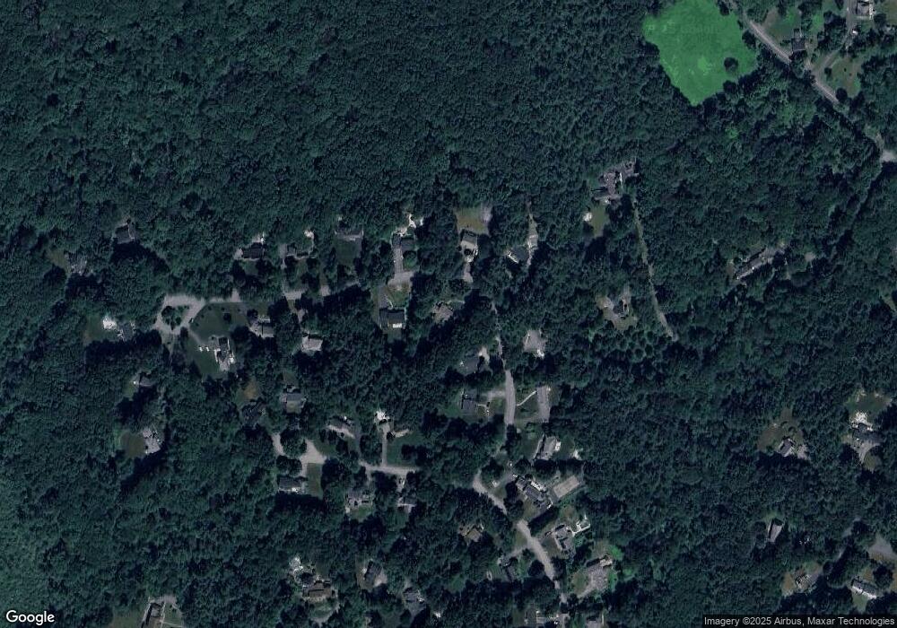
Map
Nearby Homes
- 159 Skyline Dr Unit 159
- 524 Main St
- 23 John Swift Rd
- 709 Main St
- 491 Main St
- 9 Breezy Point Rd
- 4 Huron Rd
- 4 Omega Way
- 388 Great Rd Unit B14
- 386 Great Rd Unit A8
- 484 Great Rd
- 484 Great Rd
- 390 Great Rd Unit A2
- 420 Great Rd Unit B3
- 484 Great Road -3
- 484 Great Road -4
- 484 Great Road -6
- 407 Great Rd Unit 9
- 405 Great Elm Way
- 237 Brown Bear Crossing Unit 237
- 6 Willis Holden Dr
- 10 Willis Holden Dr
- 11 Willis Holden Dr
- 9 Willis Holden Dr
- 4 Willis Holden Dr
- 7 Willis Holden Dr
- 5 Willis Holden Dr
- 15 Samuel Parlin Dr
- 15 Willis Holden Dr
- 3 Willis Holden Dr
- 14 Willis Holden Dr
- 17 Samuel Parlin Dr
- 17 Willis Holden Dr
- 19 Samuel Parlin Dr
- 1 Willis Holden Dr
- 4 Sutton Place
- 16 Willis Holden Dr
- 11 Samuel Parlin Dr
- 19 Willis Holden Dr
- 16 Samuel Parlin Dr