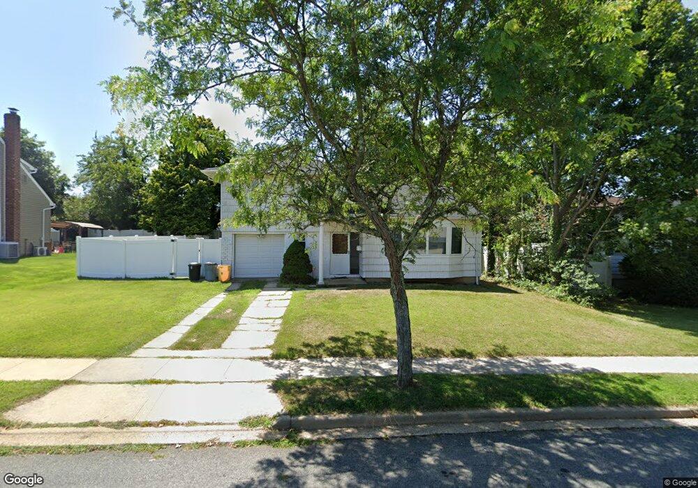
8 Wilshire Ln Plainview, NY 11803
Estimated Value: $803,000 - $855,599
4
Beds
2
Baths
1,195
Sq Ft
$694/Sq Ft
Est. Value
About This Home
This home is located at 8 Wilshire Ln, Plainview, NY 11803 and is currently estimated at $829,300, approximately $693 per square foot. 8 Wilshire Ln is a home located in Nassau County with nearby schools including Old Bethpage School, Plainview Old Bethpage Middle School, and Plainview-Old Bethpage John F. Kennedy High School.
Ownership History
Date
Name
Owned For
Owner Type
Purchase Details
Closed on
Jul 2, 2021
Sold by
Mason Michael Dean and Mason Marie
Bought by
Drezner Robert and Drezner Caryn E
Current Estimated Value
Home Financials for this Owner
Home Financials are based on the most recent Mortgage that was taken out on this home.
Original Mortgage
$532,000
Outstanding Balance
$482,708
Interest Rate
2.9%
Mortgage Type
New Conventional
Estimated Equity
$346,593
Purchase Details
Closed on
Mar 20, 1998
Sold by
Switko Joel and Switko Rochelle
Bought by
Mason Michael Dean and Palase Marie A
Create a Home Valuation Report for This Property
The Home Valuation Report is an in-depth analysis detailing your home's value as well as a comparison with similar homes in the area
Home Values in the Area
Average Home Value in this Area
Purchase History
| Date | Buyer | Sale Price | Title Company |
|---|---|---|---|
| Drezner Robert | $665,000 | Commonwealth Land Title | |
| Mason Michael Dean | $253,000 | -- |
Source: Public Records
Mortgage History
| Date | Status | Borrower | Loan Amount |
|---|---|---|---|
| Open | Drezner Robert | $532,000 |
Source: Public Records
Tax History Compared to Growth
Tax History
| Year | Tax Paid | Tax Assessment Tax Assessment Total Assessment is a certain percentage of the fair market value that is determined by local assessors to be the total taxable value of land and additions on the property. | Land | Improvement |
|---|---|---|---|---|
| 2025 | $15,059 | $507 | $278 | $229 |
| 2024 | $4,252 | $505 | $277 | $228 |
| 2023 | $16,077 | $589 | $323 | $266 |
| 2022 | $16,077 | $589 | $323 | $266 |
| 2021 | $15,711 | $576 | $316 | $260 |
| 2020 | $15,050 | $763 | $703 | $60 |
| 2019 | $4,497 | $818 | $707 | $111 |
| 2018 | $10,861 | $872 | $0 | $0 |
| 2017 | $10,861 | $969 | $754 | $215 |
| 2016 | $15,686 | $969 | $754 | $215 |
| 2015 | $4,349 | $969 | $754 | $215 |
| 2014 | $4,349 | $969 | $754 | $215 |
| 2013 | $3,961 | $969 | $754 | $215 |
Source: Public Records
Map
Nearby Homes
- 34 Gloria Place
- 20 Briarwood Ln
- 124 Santa Barbara Dr
- 93 Palo Alto Dr
- 37 Santa Barbara Dr
- 31 Santa Barbara Dr
- 42 Briarwood Ln
- 4 Cranford Rd
- 14 John Dr
- 2 Arbor Gate
- 4 Hope Dr
- 51 Stephen Dr
- 23 Mahan Rd
- 85 Roundtree Dr
- 11 Adrienne Dr
- 16 Forte Ave
- 21 Farragut Rd
- 4 Haven Ln
- 600 Plainview Rd
- 8 Sebree Place
- 3 Burbank Place
- 6 Wilshire Ln
- 550 Old Bethpage Rd
- 1 Burbank Place
- 4 Wilshire Ln
- 9 Wilshire Ln
- 11 Wilshire Ln
- 7 Wilshire Ln
- 4 Fresno Dr
- 15 Wilshire Ln
- 4 Burbank Place
- 2 Fresno Dr
- 5 Wilshire Ln
- 2 Burbank Place
- 2 Wilshire Ln
- 17 Wilshire Ln
- 76 Santa Barbara Dr
- 75 Santa Barbara Dr
- 73 Santa Barbara Dr
- 74 Santa Barbara Dr Unit 74