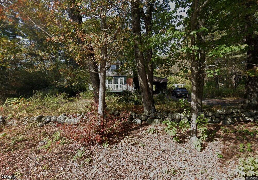
8 Wilson Dr Westminster, MA 01473
Estimated Value: $441,725 - $531,000
3
Beds
2
Baths
1,728
Sq Ft
$280/Sq Ft
Est. Value
About This Home
This home is located at 8 Wilson Dr, Westminster, MA 01473 and is currently estimated at $483,181, approximately $279 per square foot. 8 Wilson Dr is a home located in Worcester County with nearby schools including Oakmont Regional High School, Holy Family Academy, and Wachusett Hills Christian School.
Ownership History
Date
Name
Owned For
Owner Type
Purchase Details
Closed on
Sep 24, 2019
Sold by
Tarmasewicz Katherine E
Bought by
8 Wilson Drive Rt
Current Estimated Value
Purchase Details
Closed on
Mar 9, 1981
Bought by
Tarmasewicz Katherine E
Create a Home Valuation Report for This Property
The Home Valuation Report is an in-depth analysis detailing your home's value as well as a comparison with similar homes in the area
Home Values in the Area
Average Home Value in this Area
Purchase History
| Date | Buyer | Sale Price | Title Company |
|---|---|---|---|
| 8 Wilson Drive Rt | -- | None Available | |
| Tarmasewicz Katherine E | $60,000 | -- |
Source: Public Records
Mortgage History
| Date | Status | Borrower | Loan Amount |
|---|---|---|---|
| Previous Owner | Tarmasewicz Katherine E | $86,000 | |
| Previous Owner | Tarmasewicz Katherine E | $75,000 |
Source: Public Records
Tax History
| Year | Tax Paid | Tax Assessment Tax Assessment Total Assessment is a certain percentage of the fair market value that is determined by local assessors to be the total taxable value of land and additions on the property. | Land | Improvement |
|---|---|---|---|---|
| 2025 | $4,514 | $367,000 | $123,400 | $243,600 |
| 2024 | $4,311 | $351,600 | $123,400 | $228,200 |
| 2023 | $4,286 | $328,200 | $115,400 | $212,800 |
| 2022 | $4,310 | $272,800 | $100,300 | $172,500 |
| 2021 | $4,224 | $252,000 | $87,300 | $164,700 |
| 2020 | $4,282 | $244,000 | $79,300 | $164,700 |
| 2019 | $4,205 | $230,400 | $65,700 | $164,700 |
| 2018 | $3,749 | $202,100 | $65,700 | $136,400 |
| 2017 | $3,620 | $199,000 | $65,700 | $133,300 |
| 2016 | $3,502 | $186,500 | $54,700 | $131,800 |
| 2015 | $3,534 | $186,500 | $54,700 | $131,800 |
| 2014 | $3,540 | $186,500 | $54,700 | $131,800 |
Source: Public Records
Map
Nearby Homes
- 100A W Main St
- 6 Shady Ave
- Lot 3 Sunset Rd
- Lot 5 Sunset Rd
- 25 Sunset Rd
- 9 Knower Rd
- Lot 6 Shady Ave
- 61 Shady Ave
- 38 Knower Rd
- 2 Seaver St
- 17 Leominster St
- 23 Olde Colonial Dr Unit 6
- 0 Syd Smith Rd Unit 73395578
- 0 Syd Smith Rd (Rear)
- 0 Syd Smith Rd Map 71 Lot 4-2
- 0
- 29 Dawley Rd
- 0 Worcester Rd Unit 73326124
- 435 Partridge St
- 170 N Common Rd
Your Personal Tour Guide
Ask me questions while you tour the home.