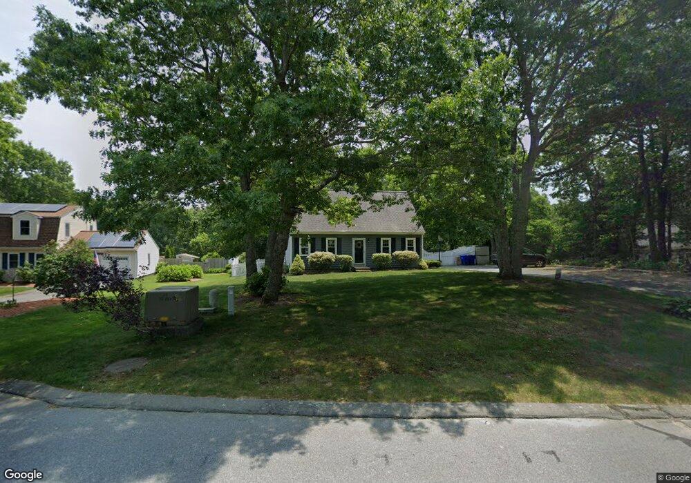
8 Winchester Ave Bourne, MA 2532
Estimated Value: $558,000 - $573,000
3
Beds
2
Baths
1,512
Sq Ft
$372/Sq Ft
Est. Value
About This Home
This home is located at 8 Winchester Ave, Bourne, MA 2532 and is currently estimated at $563,193, approximately $372 per square foot. 8 Winchester Ave is a home located in Barnstable County with nearby schools including Bourne High School and Bridgeview Montessori School.
Ownership History
Date
Name
Owned For
Owner Type
Purchase Details
Closed on
Mar 31, 1999
Sold by
Kilcup Robert M and Kilcup Karen M
Bought by
Fitzpatrick Matthew S and Walsh Erika L
Current Estimated Value
Purchase Details
Closed on
Jul 23, 1992
Sold by
Gladney James S and Mitchell Roderick
Bought by
Kilcup Robert and Kilcup Karen M
Create a Home Valuation Report for This Property
The Home Valuation Report is an in-depth analysis detailing your home's value as well as a comparison with similar homes in the area
Purchase History
| Date | Buyer | Sale Price | Title Company |
|---|---|---|---|
| Fitzpatrick Matthew S | $138,250 | -- | |
| Fitzpatrick Matthew S | $138,250 | -- | |
| Kilcup Robert | $99,650 | -- | |
| Kilcup Robert | $99,650 | -- |
Source: Public Records
Mortgage History
| Date | Status | Borrower | Loan Amount |
|---|---|---|---|
| Open | Kilcup Robert | $160,000 | |
| Closed | Kilcup Robert | $118,500 | |
| Closed | Kilcup Robert | $203,000 |
Source: Public Records
Tax History
| Year | Tax Paid | Tax Assessment Tax Assessment Total Assessment is a certain percentage of the fair market value that is determined by local assessors to be the total taxable value of land and additions on the property. | Land | Improvement |
|---|---|---|---|---|
| 2025 | $3,728 | $477,300 | $176,000 | $301,300 |
| 2024 | $3,645 | $454,500 | $167,600 | $286,900 |
| 2023 | $3,690 | $418,800 | $164,800 | $254,000 |
| 2022 | $3,532 | $350,000 | $145,900 | $204,100 |
| 2021 | $3,431 | $318,600 | $132,700 | $185,900 |
| 2020 | $3,238 | $301,500 | $131,500 | $170,000 |
| 2019 | $3,088 | $293,800 | $131,500 | $162,300 |
| 2018 | $2,931 | $278,100 | $125,200 | $152,900 |
| 2017 | $2,838 | $275,500 | $124,100 | $151,400 |
| 2016 | $2,761 | $271,800 | $124,100 | $147,700 |
| 2015 | $2,737 | $271,800 | $124,100 | $147,700 |
Source: Public Records
Map
Nearby Homes
- 0 State Rd
- 16 Ocean Pines Dr Unit B
- 150 Herring Pond Rd
- 11 Village Green Dr Unit B
- 4 Andrew Rd
- 17 Ridgehill Ln
- 8 Driftwood Ln
- 7 Swamp Rd
- 6 Aspen Rd Unit 6
- 6 Aspen Rd
- 10 Tecumseh Rd
- 110 Valley Rd
- 133 Phillips Rd
- 11 Womponoag Rd
- 2 Womponoag Rd
- 8 Jillian Dr
- 30 Pawtuxet Rd
- 18 Gibbs Rd
- 896 Sandwich Rd
- 10 Shore Rd
- 8 Winchester Ave
- 10 Winchester Ave
- 6 Winchester Ave
- 7 Winchester Ave
- 12 Winchester Ave
- 12 Winchester Ave Unit Ave
- 12 Winchester Ave
- 9 Winchester Ave
- 4 Winchester Ave
- 4 Winchester Ave
- 5 Winchester Ave
- 11 Winchester Ave
- 3 Winchester Ave
- 3 Winchester Ave
- 2 Winchester Ave
- 14 Winchester Ave
- 2 Winchester Ave
- 15 Winchester Ave
- 15 Winchester Ave
- 16 Winchester Ave
Your Personal Tour Guide
Ask me questions while you tour the home.