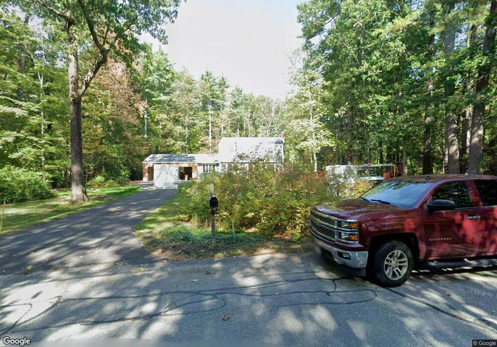
8 Withington Ln Harvard, MA 01451
Estimated Value: $698,478 - $861,000
4
Beds
2
Baths
1,808
Sq Ft
$426/Sq Ft
Est. Value
About This Home
This home is located at 8 Withington Ln, Harvard, MA 01451 and is currently estimated at $769,620, approximately $425 per square foot. 8 Withington Ln is a home located in Worcester County.
Ownership History
Date
Name
Owned For
Owner Type
Purchase Details
Closed on
Aug 16, 2018
Sold by
Hax John H and Walker Deborah H
Bought by
Walker Deborah H
Current Estimated Value
Purchase Details
Closed on
Dec 11, 2008
Sold by
Hax John Howard
Bought by
Walker Deborah H and Hax John H
Purchase Details
Closed on
Dec 19, 2007
Sold by
Culverhouse Edward F
Bought by
Hax John Howard
Home Financials for this Owner
Home Financials are based on the most recent Mortgage that was taken out on this home.
Original Mortgage
$205,000
Interest Rate
6.3%
Mortgage Type
Purchase Money Mortgage
Create a Home Valuation Report for This Property
The Home Valuation Report is an in-depth analysis detailing your home's value as well as a comparison with similar homes in the area
Home Values in the Area
Average Home Value in this Area
Purchase History
| Date | Buyer | Sale Price | Title Company |
|---|---|---|---|
| Walker Deborah H | -- | -- | |
| Walker Deborah H | -- | -- | |
| Hax John Howard | $395,000 | -- |
Source: Public Records
Mortgage History
| Date | Status | Borrower | Loan Amount |
|---|---|---|---|
| Previous Owner | Hax John Howard | $205,000 |
Source: Public Records
Tax History Compared to Growth
Tax History
| Year | Tax Paid | Tax Assessment Tax Assessment Total Assessment is a certain percentage of the fair market value that is determined by local assessors to be the total taxable value of land and additions on the property. | Land | Improvement |
|---|---|---|---|---|
| 2025 | $9,086 | $580,600 | $243,500 | $337,100 |
| 2024 | $8,651 | $580,600 | $243,500 | $337,100 |
| 2023 | $8,699 | $523,700 | $225,500 | $298,200 |
| 2022 | $7,986 | $445,900 | $210,500 | $235,400 |
| 2021 | $7,854 | $418,200 | $210,500 | $207,700 |
| 2020 | $7,351 | $398,000 | $210,500 | $187,500 |
| 2019 | $7,113 | $408,300 | $210,500 | $197,800 |
| 2018 | $0 | $392,500 | $210,500 | $182,000 |
| 2017 | $6,328 | $349,600 | $189,000 | $160,600 |
| 2016 | $6,256 | $346,600 | $189,000 | $157,600 |
| 2015 | $6,495 | $365,100 | $185,100 | $180,000 |
| 2014 | $6,240 | $365,100 | $185,100 | $180,000 |
Source: Public Records
Map
Nearby Homes
- 13 Pine Hill Way
- 14 Pine Hill Way
- 16 A Pine Hill Way Unit 16AA
- 18 B Pine Hill Way Unit BB
- 184 Old Bolton Rd
- 76 Bolton Woods Way
- 90 Corn Rd
- 310 Codman Hill Rd Unit 35D
- 19 Partridge Hill Rd
- 9 Cortland Dr Unit 9
- 1155 Burroughs Rd
- 98 Meadow Rd
- 51 Heather Ln Unit 51
- 28 Mcintosh Dr Unit 22
- 207 Boxboro Rd
- 19 Barton Rd
- 68 Hudson Rd
- 21 Woodside Rd
- 124 Meadow Rd
- 94 Hudson Rd