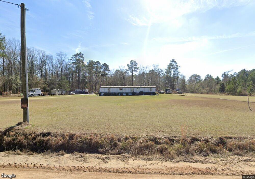
8 Wood Rd Sparks, GA 31647
Estimated Value: $51,000 - $106,000
--
Bed
--
Bath
--
Sq Ft
5.85
Acres
About This Home
This home is located at 8 Wood Rd, Sparks, GA 31647 and is currently estimated at $71,931. 8 Wood Rd is a home with nearby schools including Cook Primary School, Cook Elementary School, and Cook County Middle School.
Ownership History
Date
Name
Owned For
Owner Type
Purchase Details
Closed on
Sep 23, 2016
Sold by
Samuel T
Bought by
Walker Samuel Keith
Current Estimated Value
Create a Home Valuation Report for This Property
The Home Valuation Report is an in-depth analysis detailing your home's value as well as a comparison with similar homes in the area
Home Values in the Area
Average Home Value in this Area
Purchase History
| Date | Buyer | Sale Price | Title Company |
|---|---|---|---|
| Walker Samuel Keith | -- | -- |
Source: Public Records
Tax History Compared to Growth
Tax History
| Year | Tax Paid | Tax Assessment Tax Assessment Total Assessment is a certain percentage of the fair market value that is determined by local assessors to be the total taxable value of land and additions on the property. | Land | Improvement |
|---|---|---|---|---|
| 2024 | $338 | $12,532 | $11,532 | $1,000 |
| 2023 | $338 | $12,532 | $11,532 | $1,000 |
| 2022 | $304 | $11,296 | $10,296 | $1,000 |
| 2021 | $326 | $11,296 | $10,296 | $1,000 |
| 2020 | $326 | $11,296 | $10,296 | $1,000 |
| 2019 | $326 | $11,296 | $10,296 | $1,000 |
| 2018 | $327 | $11,296 | $10,296 | $1,000 |
| 2017 | $327 | $11,296 | $10,296 | $1,000 |
| 2016 | $327 | $11,296 | $10,296 | $1,000 |
| 2015 | $328 | $11,296 | $10,296 | $1,000 |
| 2014 | $328 | $11,296 | $10,296 | $1,000 |
| 2013 | -- | $11,296 | $10,296 | $1,000 |
Source: Public Records
Map
Nearby Homes
- 284 Barrett Rd
- 103 N College St
- 105 Orchard Cir
- 0 Barneyville Rd
- 2603 Dianne St
- 2302 Thomas St
- 2503 Dianne St
- 2601 Massee Post Rd
- 134 Brandy Ct
- 1402 Bear Creek Rd
- 1306 Bear Creek Rd
- 137 Hood Dr
- 120 Westover Dr
- 123 Westover Dr
- 1377 Hutchinson Parrish Rd
- 701 Gloria St
- 625 Coxstill Rd
- 315 Newton Dr
- 4711 Highway 37
- 304 E 3rd St
- 1000 Pleasantdale Cir
- 906 Pleasantdale Cir
- 737 Wood Rd
- 904 Pleasantdale Cir
- 1004 Pleasantdale Cir
- 1001 Pleasantdale Cir
- 626 Wood Rd
- 1006 Pleasantdale Cir
- 902 Pleasantdale Cir
- 1003 Pleasantdale Cir
- 1008 Pleasantdale Cir
- 900 Pleasantdale Cir
- 601 Cherokee Ave
- 600 Cherokee Ave
- 1299 Brushy Creek Rd
- 1251 Brushy Creek Rd
- 502 Cherokee Ave
- 116 Grace Ln
- 1437 Brushy Creek Rd
- 507 Cherokee Ave