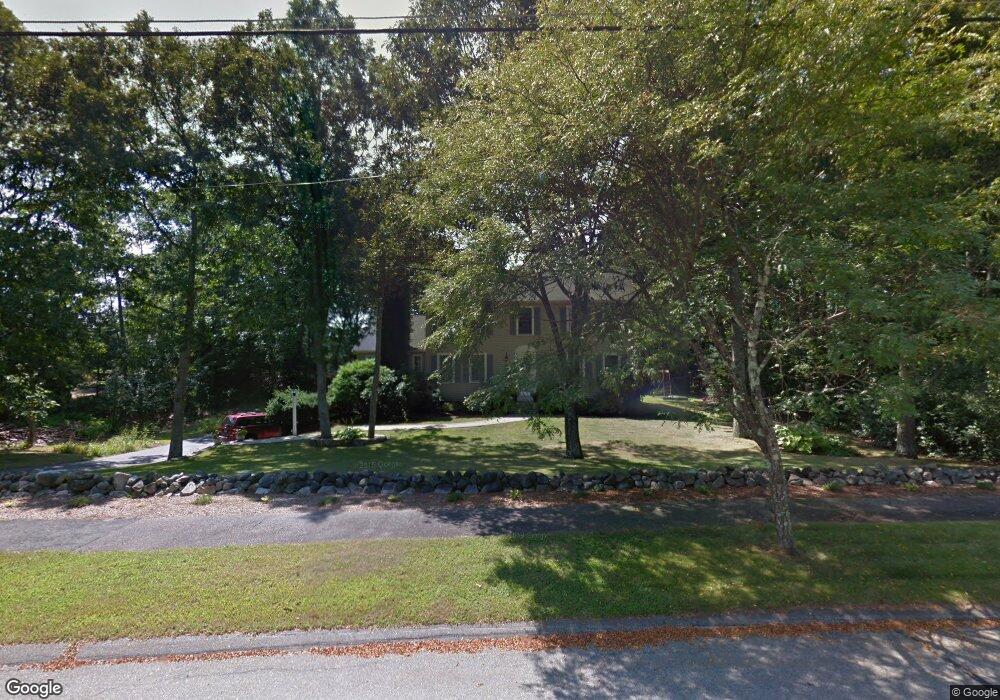
8 Worcester Rd Unit 1 Norfolk, MA 02056
Estimated Value: $869,646 - $954,000
4
Beds
3
Baths
2,000
Sq Ft
$466/Sq Ft
Est. Value
About This Home
This home is located at 8 Worcester Rd Unit 1, Norfolk, MA 02056 and is currently estimated at $931,162, approximately $465 per square foot. 8 Worcester Rd Unit 1 is a home located in Norfolk County with nearby schools including H. Olive Day School, Freeman-Kennedy School, and Woodside Montessori Academy.
Ownership History
Date
Name
Owned For
Owner Type
Purchase Details
Closed on
Aug 31, 2012
Sold by
Wesley Mark A and Wesley Michelle H
Bought by
Collier Todd C and Collier Sarah E
Current Estimated Value
Home Financials for this Owner
Home Financials are based on the most recent Mortgage that was taken out on this home.
Original Mortgage
$495,853
Outstanding Balance
$346,008
Interest Rate
3.75%
Mortgage Type
FHA
Estimated Equity
$585,154
Purchase Details
Closed on
Jun 21, 2004
Sold by
Keene Linda and Keene Milton E
Bought by
Wesley Mark A and Wesley Michelle H
Home Financials for this Owner
Home Financials are based on the most recent Mortgage that was taken out on this home.
Original Mortgage
$280,000
Interest Rate
6.12%
Mortgage Type
Purchase Money Mortgage
Create a Home Valuation Report for This Property
The Home Valuation Report is an in-depth analysis detailing your home's value as well as a comparison with similar homes in the area
Home Values in the Area
Average Home Value in this Area
Purchase History
| Date | Buyer | Sale Price | Title Company |
|---|---|---|---|
| Collier Todd C | $505,000 | -- | |
| Wesley Mark A | $538,000 | -- | |
| Wesley Mark A | $538,000 | -- |
Source: Public Records
Mortgage History
| Date | Status | Borrower | Loan Amount |
|---|---|---|---|
| Open | Collier Todd C | $495,853 | |
| Closed | Wesley Mark A | $495,853 | |
| Previous Owner | Wesley Mark A | $280,000 | |
| Previous Owner | Wesley Mark A | $96,600 | |
| Previous Owner | Wesley Mark A | $105,625 |
Source: Public Records
Tax History
| Year | Tax Paid | Tax Assessment Tax Assessment Total Assessment is a certain percentage of the fair market value that is determined by local assessors to be the total taxable value of land and additions on the property. | Land | Improvement |
|---|---|---|---|---|
| 2025 | $12,316 | $771,200 | $215,500 | $555,700 |
| 2024 | $11,321 | $727,100 | $219,000 | $508,100 |
| 2023 | $11,009 | $670,900 | $219,000 | $451,900 |
| 2022 | $10,469 | $575,200 | $205,100 | $370,100 |
| 2021 | $10,204 | $567,200 | $199,100 | $368,100 |
| 2020 | $9,948 | $533,700 | $180,600 | $353,100 |
| 2019 | $9,588 | $524,200 | $180,600 | $343,600 |
| 2018 | $9,228 | $495,600 | $180,600 | $315,000 |
| 2017 | $9,094 | $499,100 | $180,600 | $318,500 |
| 2016 | $8,745 | $483,700 | $180,600 | $303,100 |
| 2015 | $8,639 | $489,200 | $172,100 | $317,100 |
| 2014 | $8,466 | $485,700 | $172,100 | $313,600 |
Source: Public Records
Map
Nearby Homes
- 23 Fredrickson Rd
- 19 Waites Crossing
- 13 Waites Crossing
- 0 Toils End Rd
- 45 Joshua Rd
- 7 Keeney Pond Rd
- 14 Waites Crossing
- 292 Main St
- 9 Elliot Mills Unit 5
- 8 Elliot Mills Unit 30
- 5 Elliot Mills Unit 3
- 7 Elliot Mills Unit 4
- 10 Elliot Mills Unit 29
- 16 Keeney Pond Rd
- 8 Ridgefield Rd
- 50 Reed Fulton Ave Unit Lot 61
- 246 Forest Grove Ave
- 45 Meetinghouse Rd Unit 45
- 0 W Birch Rd
- 3 Elliot Mills Unit 2
Your Personal Tour Guide
Ask me questions while you tour the home.