Estimated Value: $79,495
--
Bed
--
Bath
1,322
Sq Ft
$60/Sq Ft
Est. Value
About This Home
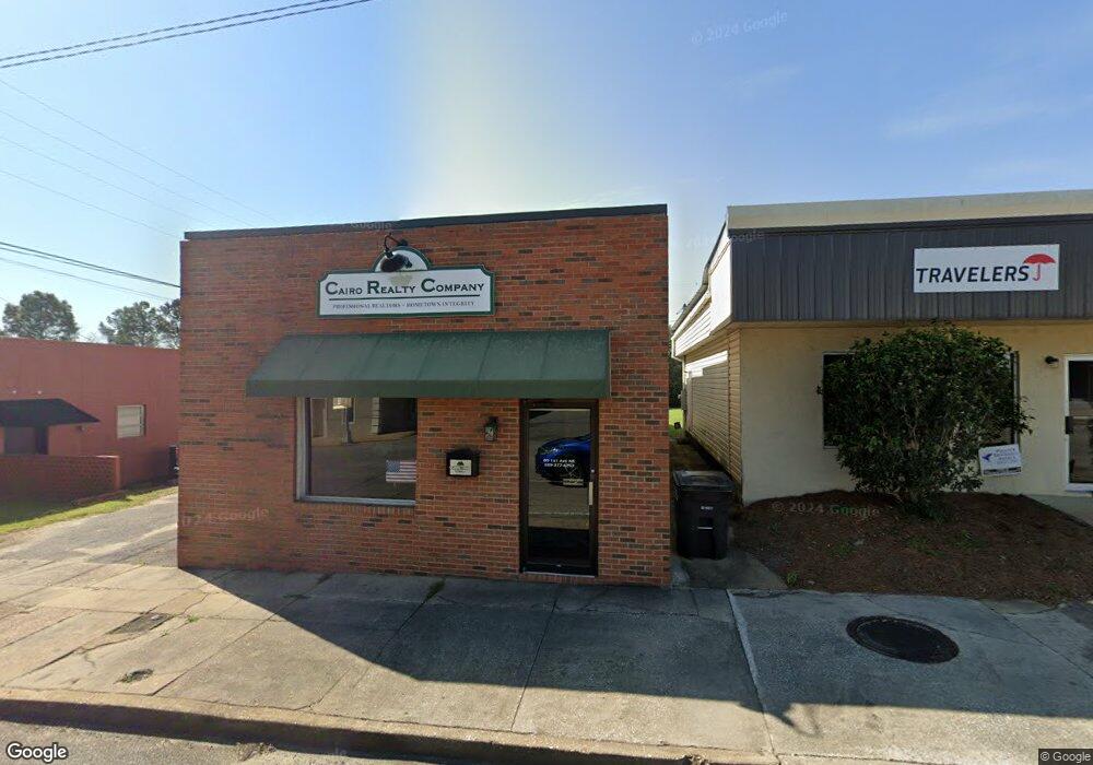
This home is located at 80 1st Ave NE, Cairo, GA 39828 and is currently estimated at $79,495, approximately $60 per square foot. 80 1st Ave NE is a home located in Grady County with nearby schools including Cairo High School.
Ownership History
Date
Name
Owned For
Owner Type
Purchase Details
Closed on
Mar 28, 2016
Sold by
Tilley John S
Bought by
Cairo Realty Co
Current Estimated Value
Home Financials for this Owner
Home Financials are based on the most recent Mortgage that was taken out on this home.
Original Mortgage
$28,800
Interest Rate
2.96%
Purchase Details
Closed on
Jul 13, 2004
Bought by
Tilley John S
Purchase Details
Closed on
Jan 21, 1979
Bought by
Whigham Electric
Create a Home Valuation Report for This Property
The Home Valuation Report is an in-depth analysis detailing your home's value as well as a comparison with similar homes in the area
Home Values in the Area
Average Home Value in this Area
Purchase History
| Date | Buyer | Sale Price | Title Company |
|---|---|---|---|
| Cairo Realty Co | $36,000 | -- | |
| Tilley John S | $32,500 | -- | |
| Whigham Electric | -- | -- |
Source: Public Records
Mortgage History
| Date | Status | Borrower | Loan Amount |
|---|---|---|---|
| Closed | Cairo Realty Co | $28,800 |
Source: Public Records
Tax History Compared to Growth
Tax History
| Year | Tax Paid | Tax Assessment Tax Assessment Total Assessment is a certain percentage of the fair market value that is determined by local assessors to be the total taxable value of land and additions on the property. | Land | Improvement |
|---|---|---|---|---|
| 2024 | $1,128 | $28,586 | $3,668 | $24,918 |
| 2023 | $477 | $12,890 | $4,600 | $8,290 |
| 2022 | $496 | $12,890 | $4,600 | $8,290 |
| 2021 | $498 | $12,890 | $4,600 | $8,290 |
| 2020 | $499 | $12,890 | $4,600 | $8,290 |
| 2019 | $499 | $12,890 | $4,600 | $8,290 |
| 2018 | $474 | $12,890 | $4,600 | $8,290 |
| 2017 | $456 | $12,890 | $4,600 | $8,290 |
| 2016 | $466 | $12,890 | $4,600 | $8,290 |
| 2015 | $462 | $12,890 | $4,600 | $8,290 |
| 2014 | -- | $12,890 | $4,600 | $8,290 |
| 2013 | -- | $12,890 | $4,600 | $8,290 |
Source: Public Records
Map
Nearby Homes
- X 1st St
- 00 Hwy 111 South Tract 1
- 316,322 NW 1st St + Lot
- 0 1st St
- 4761 Hadley Ferry Rd
- 309 3rd St SE
- Lot #15, 3 64 Acres Oakbend Cir
- 000 S Broad St
- 125 6th Ave NW
- 000 Hwy 111 South 20 59 Acres
- 00 00 Hwy 111 South Tract 2
- 40 5th Ave SW
- 471 4th St SE
- 481 4th St SE
- 711 2nd Ave NE
- 2975 U S 84
- 117 6th St SW
- 602 4th St SE
- 27 6th Ave SW
- 460 2nd St SW
- 110 1st Ave NE
- 140 1st Ave NE
- 22 1st Ave NE
- 17 1st Ave NE
- 2 N Broad St
- 119 1st Ave NE
- 00 1st Ave NE
- 0 2nd Ave Unit 298565
- 109 2nd Ave NE
- 112 N Broad St
- N Georgia 111
- 121 2nd Ave NE
- 2.5ACR Long Leaf Lane (Parcel0094a006001)
- 206 1st St NE
- 137 S Broad St
- 139 S Broad St
- 141 S Broad St
- 4 S Broad St
- 1234 N Not A Street Bend NE
- 8.98 Ac. Holton Ln