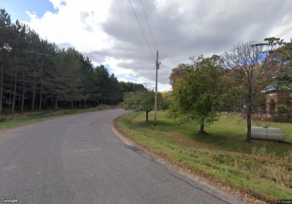
80 25 1/2 St New Auburn, WI 54757
Estimated Value: $144,414 - $453,000
--
Bed
--
Bath
--
Sq Ft
1.82
Acres
About This Home
This home is located at 80 25 1/2 St, New Auburn, WI 54757 and is currently estimated at $281,104. 80 25 1/2 St is a home located in Barron County with nearby schools including New Auburn Elementary School, New Auburn Middle School, and New Auburn Junior/Senior High School.
Ownership History
Date
Name
Owned For
Owner Type
Purchase Details
Closed on
Nov 30, 2020
Sold by
Michael S Polsky Esq As Receiver For Nothern
Bought by
Berends Dale L
Current Estimated Value
Home Financials for this Owner
Home Financials are based on the most recent Mortgage that was taken out on this home.
Interest Rate
2.72%
Create a Home Valuation Report for This Property
The Home Valuation Report is an in-depth analysis detailing your home's value as well as a comparison with similar homes in the area
Home Values in the Area
Average Home Value in this Area
Purchase History
| Date | Buyer | Sale Price | Title Company |
|---|---|---|---|
| Berends Dale L | $91,500 | -- | |
| Berends Dale L | $91,500 | -- |
Source: Public Records
Mortgage History
| Date | Status | Borrower | Loan Amount |
|---|---|---|---|
| Closed | Berends Dale L | -- |
Source: Public Records
Tax History Compared to Growth
Tax History
| Year | Tax Paid | Tax Assessment Tax Assessment Total Assessment is a certain percentage of the fair market value that is determined by local assessors to be the total taxable value of land and additions on the property. | Land | Improvement |
|---|---|---|---|---|
| 2024 | $987 | $103,600 | $20,300 | $83,300 |
| 2023 | $944 | $66,800 | $8,400 | $58,400 |
| 2022 | $944 | $66,800 | $8,400 | $58,400 |
| 2021 | $991 | $66,800 | $8,400 | $58,400 |
| 2020 | $976 | $66,800 | $8,400 | $58,400 |
| 2019 | $907 | $66,800 | $8,400 | $58,400 |
| 2018 | $955 | $66,800 | $8,400 | $58,400 |
| 2017 | $1,003 | $66,800 | $8,400 | $58,400 |
| 2016 | $991 | $66,800 | $8,400 | $58,400 |
| 2015 | $984 | $66,800 | $8,400 | $58,400 |
| 2014 | $966 | $66,800 | $8,400 | $58,400 |
| 2013 | $1,069 | $66,800 | $8,400 | $58,400 |
Source: Public Records
Map
Nearby Homes
- 3 27 7 8 St
- 3 27 7 8th St
- 392 27th St
- 125 E North St
- XXX Ave
- 202 S East St
- 626 S East St
- 0 21 1 4 St
- 00 21 1 4 St
- 7335 County Highway M
- 2732 6 3 16 Ave
- Lot 28 25 1 2
- 0 24 3 4 St Unit 1594066
- 2015 3 1 2 Ave
- N734 Musky Bay Rd
- 2038 Cedar Dr
- 2104 5th Ave
- Lot 15 25 1 2 Street St
- Lot 6 25 1 2 Street St
- Lot 13 25 1 2 Street St