80 Apawamis Cir Pinehurst, NC 28374
Estimated Value: $1,193,000 - $1,351,409
4
Beds
5
Baths
4,347
Sq Ft
$292/Sq Ft
Est. Value
About This Home
This home is located at 80 Apawamis Cir, Pinehurst, NC 28374 and is currently estimated at $1,269,803, approximately $292 per square foot. 80 Apawamis Cir is a home located in Moore County with nearby schools including Southern Pines Elementary, Southern Middle School, and Pinecrest High School.
Ownership History
Date
Name
Owned For
Owner Type
Purchase Details
Closed on
Jun 9, 2006
Sold by
Rostan Stephen E and Rostan Wendy Brown
Bought by
Pry Barrett N and Pry Lori L
Current Estimated Value
Home Financials for this Owner
Home Financials are based on the most recent Mortgage that was taken out on this home.
Original Mortgage
$305,000
Outstanding Balance
$172,771
Interest Rate
6.5%
Mortgage Type
Unknown
Estimated Equity
$1,097,032
Purchase Details
Closed on
Jul 15, 1997
Sold by
Rostan Stephen E and Rostan Mildre
Bought by
Pry Barrett N and Pry Lori L
Create a Home Valuation Report for This Property
The Home Valuation Report is an in-depth analysis detailing your home's value as well as a comparison with similar homes in the area
Home Values in the Area
Average Home Value in this Area
Purchase History
| Date | Buyer | Sale Price | Title Company |
|---|---|---|---|
| Pry Barrett N | $545,000 | None Available | |
| Pry Barrett N | $525,000 | -- |
Source: Public Records
Mortgage History
| Date | Status | Borrower | Loan Amount |
|---|---|---|---|
| Open | Pry Barrett N | $305,000 |
Source: Public Records
Tax History
| Year | Tax Paid | Tax Assessment Tax Assessment Total Assessment is a certain percentage of the fair market value that is determined by local assessors to be the total taxable value of land and additions on the property. | Land | Improvement |
|---|---|---|---|---|
| 2025 | $4,720 | $846,690 | $150,000 | $696,690 |
| 2024 | $4,847 | $846,690 | $150,000 | $696,690 |
| 2023 | $5,059 | $846,690 | $150,000 | $696,690 |
| 2022 | $4,845 | $580,190 | $70,000 | $510,190 |
| 2021 | $5,019 | $580,190 | $70,000 | $510,190 |
| 2020 | $4,967 | $579,280 | $70,000 | $509,280 |
| 2019 | $4,967 | $580,190 | $70,000 | $510,190 |
| 2018 | $4,426 | $553,230 | $80,000 | $473,230 |
| 2017 | $4,371 | $553,230 | $80,000 | $473,230 |
| 2015 | $4,288 | $553,230 | $80,000 | $473,230 |
| 2014 | $4,609 | $602,490 | $100,000 | $502,490 |
| 2013 | -- | $602,490 | $100,000 | $502,490 |
Source: Public Records
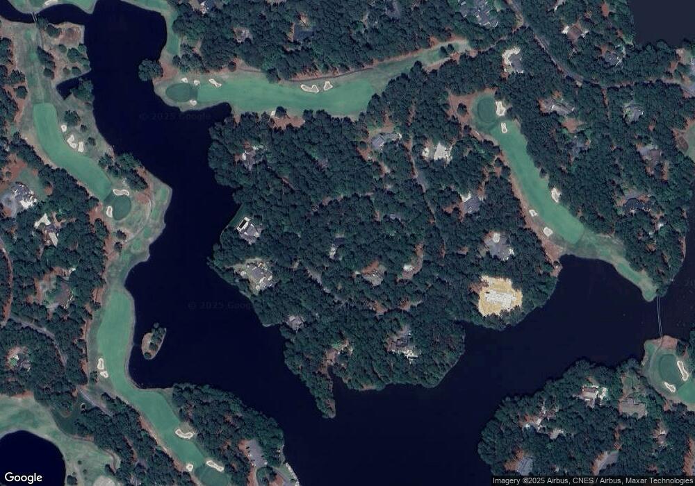
Map
Nearby Homes
- 75 Apawamis Cir
- 185 Ponte Vedra Dr
- 5 Clubhouse Dr
- 70 Lake Dornoch Dr
- 255 Lake Dornoch Dr
- 35 Lake Dornoch Dr
- 75 Lake Dornoch Dr
- 35 Ponte Vedra Dr
- 125 Ponte Vedra Dr
- 370 Lake Dornoch Dr
- 360 Lake Dornoch Dr
- 124 Racquet Ln
- 136 Love Thirty Ln
- 151 Love Thirty Ln
- 85 Winged Foot Rd
- 75 Shadow Creek Ct
- 85 Shadow Creek Ct
- 20 Shadow Creek Ct
- 105 Shadow Creek Ct
- 1269 Morganton Rd
- 60 Apawamis Cir
- 100 Apawamis Cir
- 125 Apawamis Cir
- 40 Apawamis Cir
- 105 Apawamis Cir
- 95 Apawamis Cir
- 85 Apawamis Cir
- 135 Apawamis Cir
- 115 Apawamis Cir
- 65 Apawamis Cir
- 25 Apawamis Cir
- 15 Apawamis Cir
- 55 Apawamis
- 35 Apawamis Cir
- 45 Apawamis Cir
- 40 El Dorado St
- 50 El Dorado St
- 30 El Dorado St
- 60 El Dorado St
- 220 Lake Dornoch Dr
Your Personal Tour Guide
Ask me questions while you tour the home.