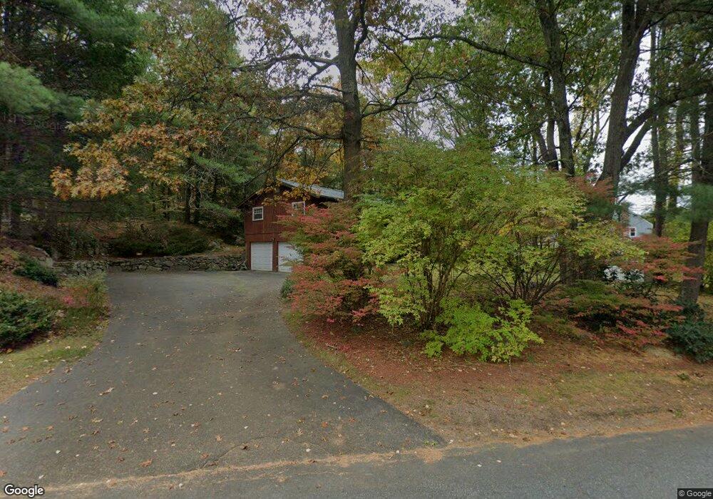
80 Austin Rd Sudbury, MA 01776
Estimated Value: $923,658 - $1,051,000
3
Beds
3
Baths
1,502
Sq Ft
$660/Sq Ft
Est. Value
About This Home
This home is located at 80 Austin Rd, Sudbury, MA 01776 and is currently estimated at $991,415, approximately $660 per square foot. 80 Austin Rd is a home located in Middlesex County with nearby schools including Peter Noyes Elementary School, Ephraim Curtis Middle School, and Lincoln-Sudbury Regional High School.
Ownership History
Date
Name
Owned For
Owner Type
Purchase Details
Closed on
Oct 8, 1999
Sold by
Brown Gregory J and Brown Sandra P
Bought by
Kolodny Douglas and Kolodny Kelly
Current Estimated Value
Purchase Details
Closed on
Nov 10, 1995
Sold by
Mccabe Joseph R
Bought by
Brown Gregory J and Brown Sandra P
Purchase Details
Closed on
Feb 28, 1992
Sold by
Phh Homequity Corp
Bought by
Mccabe Joseph R
Purchase Details
Closed on
Aug 30, 1989
Sold by
Oberhauser Peter F
Bought by
Basf Corp
Create a Home Valuation Report for This Property
The Home Valuation Report is an in-depth analysis detailing your home's value as well as a comparison with similar homes in the area
Home Values in the Area
Average Home Value in this Area
Purchase History
| Date | Buyer | Sale Price | Title Company |
|---|---|---|---|
| Kolodny Douglas | $307,500 | -- | |
| Brown Gregory J | $275,000 | -- | |
| Brown Gregory J | $275,000 | -- | |
| Mccabe Joseph R | $202,000 | -- | |
| Mccabe Joseph R | $202,000 | -- | |
| Basf Corp | $240,000 | -- | |
| Basf Corp | $240,000 | -- |
Source: Public Records
Mortgage History
| Date | Status | Borrower | Loan Amount |
|---|---|---|---|
| Open | Basf Corp | $10,000 | |
| Open | Basf Corp | $50,000 |
Source: Public Records
Tax History Compared to Growth
Tax History
| Year | Tax Paid | Tax Assessment Tax Assessment Total Assessment is a certain percentage of the fair market value that is determined by local assessors to be the total taxable value of land and additions on the property. | Land | Improvement |
|---|---|---|---|---|
| 2025 | $13,188 | $900,800 | $462,800 | $438,000 |
| 2024 | $12,765 | $873,700 | $449,200 | $424,500 |
| 2023 | $12,624 | $800,500 | $416,000 | $384,500 |
| 2022 | $11,853 | $656,700 | $381,600 | $275,100 |
| 2021 | $11,620 | $617,100 | $381,600 | $235,500 |
| 2020 | $11,385 | $617,100 | $381,600 | $235,500 |
| 2019 | $11,052 | $617,100 | $381,600 | $235,500 |
| 2018 | $10,676 | $595,400 | $401,600 | $193,800 |
| 2017 | $10,255 | $578,100 | $396,800 | $181,300 |
| 2016 | $9,870 | $554,500 | $381,600 | $172,900 |
| 2015 | $9,506 | $540,100 | $366,800 | $173,300 |
| 2014 | $9,498 | $526,800 | $356,000 | $170,800 |
Source: Public Records
Map
Nearby Homes