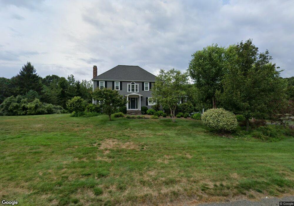
80 Autumn Rd Wrentham, MA 02093
West Wrentham NeighborhoodEstimated Value: $867,823 - $998,000
4
Beds
3
Baths
2,686
Sq Ft
$344/Sq Ft
Est. Value
About This Home
This home is located at 80 Autumn Rd, Wrentham, MA 02093 and is currently estimated at $924,956, approximately $344 per square foot. 80 Autumn Rd is a home located in Norfolk County with nearby schools including Delaney Elementary School, Charles E Roderick, and Mercymount Country Day School.
Ownership History
Date
Name
Owned For
Owner Type
Purchase Details
Closed on
Nov 30, 1994
Sold by
Hogan Brian J and Hogan Patricia S
Bought by
Granchelli Rhonda F
Current Estimated Value
Home Financials for this Owner
Home Financials are based on the most recent Mortgage that was taken out on this home.
Original Mortgage
$193,000
Interest Rate
8.81%
Mortgage Type
Purchase Money Mortgage
Create a Home Valuation Report for This Property
The Home Valuation Report is an in-depth analysis detailing your home's value as well as a comparison with similar homes in the area
Home Values in the Area
Average Home Value in this Area
Purchase History
| Date | Buyer | Sale Price | Title Company |
|---|---|---|---|
| Granchelli Rhonda F | $253,000 | -- |
Source: Public Records
Mortgage History
| Date | Status | Borrower | Loan Amount |
|---|---|---|---|
| Open | Granchelli Rhonda F | $227,000 | |
| Closed | Granchelli Rhonda F | $196,000 | |
| Closed | Granchelli Rhonda F | $193,000 | |
| Previous Owner | Granchelli Rhonda F | $12,160 |
Source: Public Records
Tax History Compared to Growth
Tax History
| Year | Tax Paid | Tax Assessment Tax Assessment Total Assessment is a certain percentage of the fair market value that is determined by local assessors to be the total taxable value of land and additions on the property. | Land | Improvement |
|---|---|---|---|---|
| 2025 | $8,798 | $759,100 | $288,100 | $471,000 |
| 2024 | $8,495 | $707,900 | $288,100 | $419,800 |
| 2023 | $8,332 | $660,200 | $262,000 | $398,200 |
| 2022 | $8,098 | $592,400 | $255,200 | $337,200 |
| 2021 | $7,730 | $549,400 | $238,500 | $310,900 |
| 2020 | $7,078 | $496,700 | $182,100 | $314,600 |
| 2019 | $6,819 | $482,900 | $182,100 | $300,800 |
| 2018 | $7,094 | $498,200 | $181,900 | $316,300 |
| 2017 | $6,951 | $487,800 | $178,400 | $309,400 |
| 2016 | $6,809 | $476,800 | $173,300 | $303,500 |
| 2015 | $6,832 | $456,100 | $166,600 | $289,500 |
| 2014 | $6,822 | $445,600 | $160,200 | $285,400 |
Source: Public Records
Map
Nearby Homes
- 50 Wamsutta Way
- 60 Grant Ave
- 2095 West St
- 236 Williams St
- 50 Heather Ln
- 39 Sumner Brown Rd
- 25 Nature View Dr
- 180 Pine Swamp Rd
- 56 Pine Swamp Rd
- 20 Nature View Dr
- 9 Pebble Cir Unit 9
- 851 Washington St
- 17 Stanford Rd
- 65 Palmetto Dr Unit 65
- 10 Stanford Rd
- 21 Palmetto Dr Unit 21
- 219 Dawn Blvd
- 2 Duhamel Way
- 24 Palmetto Dr Unit 24
- 300 Tower Hill Rd
- 90 Autumn Rd
- 70 Autumn Rd
- 120 Comstock Dr
- 95 Autumn Rd
- 100 Autumn Rd
- 85 Autumn Rd
- 60 Autumn Rd
- 45 Miscoe Brook Dr
- 55 Miscoe Brook Dr
- 110 Autumn Rd
- 110 Comstock Dr
- 75 Autumn Rd
- 35 Miscoe Brook Dr
- 60 Miscoe Brook Dr
- 50 Miscoe Brook Dr
- 115 Comstock Dr
- 40 Miscoe Brook Dr
- 65 Autumn Rd
- 120 Autumn Rd
- 25 Follett Dr