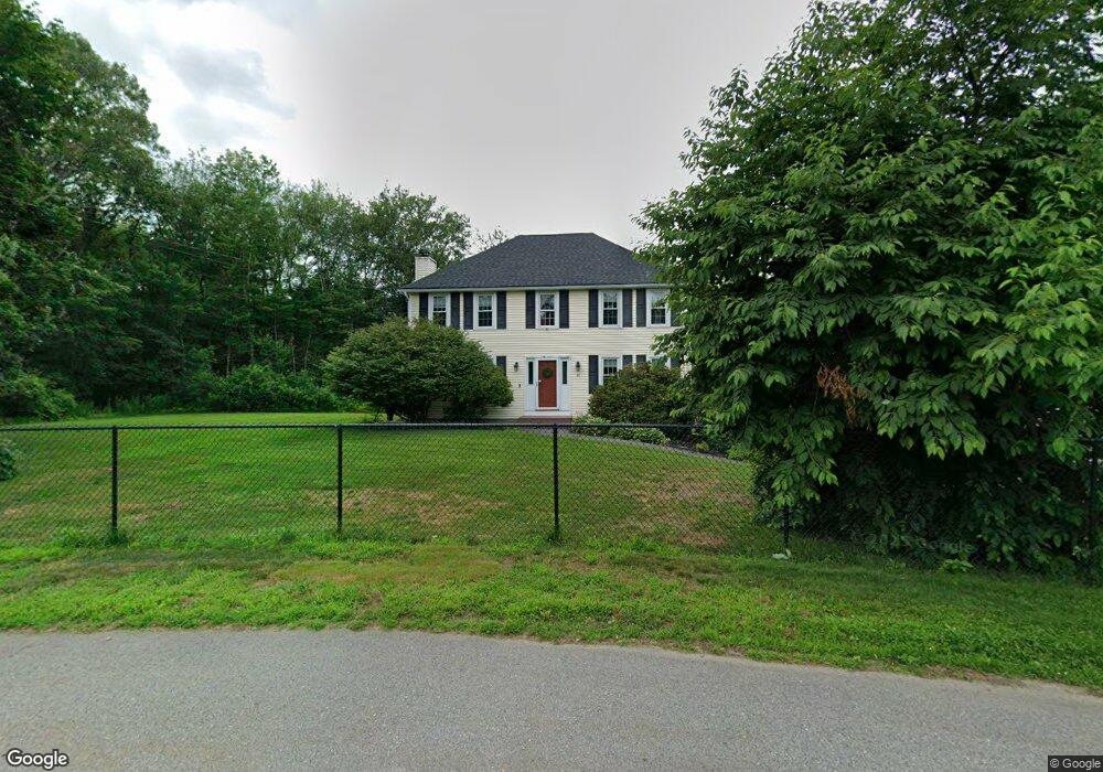
80 Baldwin Rd Dracut, MA 01826
Estimated Value: $617,000 - $774,000
3
Beds
3
Baths
1,764
Sq Ft
$401/Sq Ft
Est. Value
About This Home
This home is located at 80 Baldwin Rd, Dracut, MA 01826 and is currently estimated at $706,730, approximately $400 per square foot. 80 Baldwin Rd is a home located in Middlesex County with nearby schools including Greenmont Avenue School, Richardson Middle School, and Dracut Senior High School.
Ownership History
Date
Name
Owned For
Owner Type
Purchase Details
Closed on
Oct 5, 2001
Sold by
Stemple Christopher and Margetts Sharon A
Bought by
Chaput Stephen D and Norsigian Beth
Current Estimated Value
Home Financials for this Owner
Home Financials are based on the most recent Mortgage that was taken out on this home.
Original Mortgage
$248,000
Interest Rate
6.89%
Mortgage Type
Purchase Money Mortgage
Purchase Details
Closed on
May 2, 1995
Sold by
Draco Homes Inc
Bought by
Stemple Christopher and Margetts Sharon
Create a Home Valuation Report for This Property
The Home Valuation Report is an in-depth analysis detailing your home's value as well as a comparison with similar homes in the area
Home Values in the Area
Average Home Value in this Area
Purchase History
| Date | Buyer | Sale Price | Title Company |
|---|---|---|---|
| Chaput Stephen D | $317,000 | -- | |
| Stemple Christopher | $182,790 | -- |
Source: Public Records
Mortgage History
| Date | Status | Borrower | Loan Amount |
|---|---|---|---|
| Open | Stemple Christopher | $276,000 | |
| Closed | Stemple Christopher | $248,000 | |
| Previous Owner | Stemple Christopher | $173,500 |
Source: Public Records
Tax History
| Year | Tax Paid | Tax Assessment Tax Assessment Total Assessment is a certain percentage of the fair market value that is determined by local assessors to be the total taxable value of land and additions on the property. | Land | Improvement |
|---|---|---|---|---|
| 2025 | $6,286 | $621,100 | $257,000 | $364,100 |
| 2024 | $6,115 | $585,200 | $244,900 | $340,300 |
| 2023 | $6,060 | $523,300 | $213,100 | $310,200 |
| 2022 | $5,894 | $479,600 | $193,900 | $285,700 |
| 2021 | $5,692 | $437,500 | $176,200 | $261,300 |
| 2020 | $5,519 | $413,400 | $170,900 | $242,500 |
| 2019 | $5,290 | $384,700 | $162,800 | $221,900 |
| 2018 | $5,414 | $382,900 | $162,800 | $220,100 |
| 2017 | $5,382 | $382,900 | $162,800 | $220,100 |
| 2016 | $5,348 | $360,400 | $163,600 | $196,800 |
| 2015 | $5,178 | $346,800 | $163,600 | $183,200 |
| 2014 | $4,856 | $335,100 | $163,600 | $171,500 |
Source: Public Records
Map
Nearby Homes
- 10 Lanseigne St
- 144 Thissell Ave Unit 11
- 4 Hazelwood Ave Unit 12
- 277 Loon Hill Rd
- 668 Robbins Ave Unit 1
- 700 Robbins Ave Unit 6
- 89 Newbury St
- 11 Joseph Ave
- 175 Willard St Unit 9
- 40 Arlington Ave
- 69 Arlington St
- 287 Fox Ave
- 54 Montaup Ave
- 315 Broadway Rd Unit 1
- 315 Broadway Rd Unit 7
- 1391 Bridge St
- 935 Methuen St Unit 13
- 35 Whitney Ave Unit 33
- 23 18th St
- 194 River Rd
Your Personal Tour Guide
Ask me questions while you tour the home.