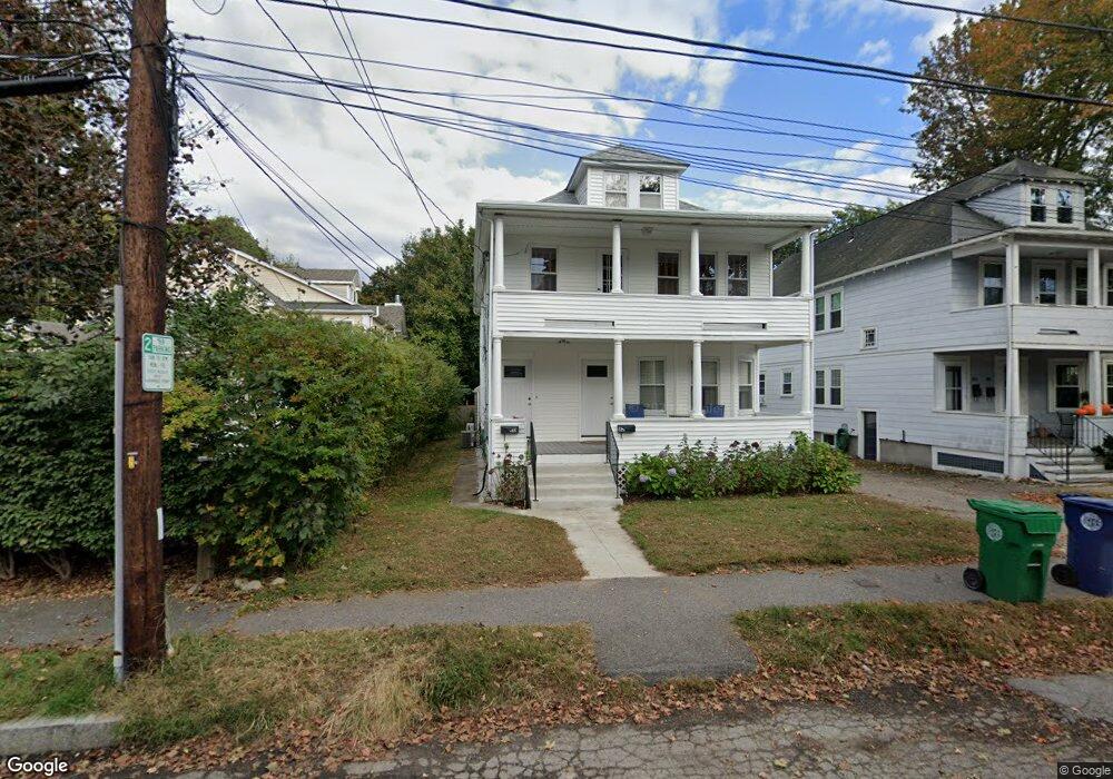
80 Bourne St Unit 82 Auburndale, MA 02466
Auburndale NeighborhoodEstimated Value: $1,083,000 - $1,438,114
4
Beds
2
Baths
2,201
Sq Ft
$564/Sq Ft
Est. Value
About This Home
This home is located at 80 Bourne St Unit 82, Auburndale, MA 02466 and is currently estimated at $1,240,779, approximately $563 per square foot. 80 Bourne St Unit 82 is a home located in Middlesex County with nearby schools including Williams Elementary School, C.C. Burr, and Charles E Brown Middle School.
Ownership History
Date
Name
Owned For
Owner Type
Purchase Details
Closed on
Aug 4, 2020
Sold by
Cobb Diane J
Bought by
Diane J Cobb Ret
Current Estimated Value
Purchase Details
Closed on
Nov 4, 2014
Sold by
Lena C Enos Ft and Cobb Diane J
Bought by
Cobb Diane J
Purchase Details
Closed on
Nov 3, 2014
Sold by
Est Enos Lena C and Cobb Diane J
Bought by
Lena C Enos Ft and Cobb Diane J
Create a Home Valuation Report for This Property
The Home Valuation Report is an in-depth analysis detailing your home's value as well as a comparison with similar homes in the area
Home Values in the Area
Average Home Value in this Area
Purchase History
| Date | Buyer | Sale Price | Title Company |
|---|---|---|---|
| Diane J Cobb Ret | -- | None Available | |
| Cobb Diane J | -- | -- | |
| Lena C Enos Ft | -- | -- |
Source: Public Records
Tax History Compared to Growth
Tax History
| Year | Tax Paid | Tax Assessment Tax Assessment Total Assessment is a certain percentage of the fair market value that is determined by local assessors to be the total taxable value of land and additions on the property. | Land | Improvement |
|---|---|---|---|---|
| 2025 | $10,664 | $1,088,200 | $686,900 | $401,300 |
| 2024 | $10,311 | $1,056,500 | $666,900 | $389,600 |
| 2023 | $9,987 | $981,000 | $530,800 | $450,200 |
| 2022 | $9,555 | $908,300 | $491,500 | $416,800 |
| 2021 | $8,966 | $833,300 | $450,900 | $382,400 |
| 2020 | $8,700 | $833,300 | $450,900 | $382,400 |
| 2019 | $8,138 | $778,800 | $421,400 | $357,400 |
| 2018 | $8,150 | $753,200 | $399,000 | $354,200 |
| 2017 | $7,684 | $691,000 | $366,100 | $324,900 |
| 2016 | $6,820 | $599,300 | $335,900 | $263,400 |
| 2015 | $6,503 | $560,100 | $313,900 | $246,200 |
Source: Public Records
Map
Nearby Homes
- 2202 Commonwealth Ave Unit 2
- 2202 Commonwealth Ave Unit 1
- 283 Melrose St
- 27 Oakwood Rd
- 17 Lasell St
- 224 Auburn St Unit 224
- 224 Auburn St Unit A
- 226 Auburn St Unit 226
- 49 Staniford St
- 62-64 Rowe St Unit B
- 13 Weir St
- 283 Woodland Rd
- 103 Loring Rd
- 160 Pine St Unit 12
- 17 Deforest Rd
- 1754 Washington St
- 707 South St
- 17 Crescent St
- 1639 Washington St
- 51 Bourne St
- 84 Bourne St Unit 86
- 76 Bourne St
- 76 Bourne St Unit 76
- 76 Bourne St Unit 78
- 78 Bourne St
- 515 Auburn St
- 88 Bourne St
- 509 Auburn St
- 525 Auburn St
- 70 Auburn St
- 70 Auburn St Unit 70
- 503 Auburn St
- 75 Bourne St
- 75 Bourne St Unit 2
- 79 Bourne St
- 79 Bourne St Unit 2 79
- 77 Bourne St
- 77 Bourne St Unit 1 77
- 73 Bourne St Unit 73
- 73 Bourne St Unit 73-1