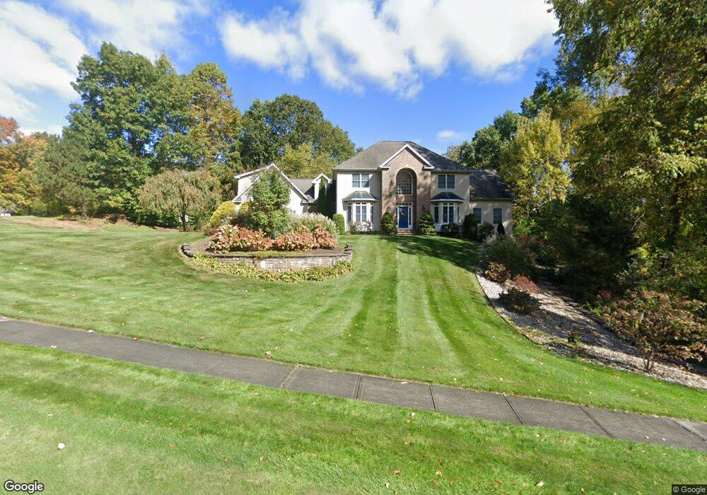
80 Brentwood Dr Southington, CT 06489
West Southington NeighborhoodEstimated Value: $741,000 - $1,023,000
4
Beds
4
Baths
4,036
Sq Ft
$228/Sq Ft
Est. Value
About This Home
This home is located at 80 Brentwood Dr, Southington, CT 06489 and is currently estimated at $920,990, approximately $228 per square foot. 80 Brentwood Dr is a home located in Hartford County with nearby schools including Urbin T. Kelley Elementary School, John F. Kennedy Middle School, and Southington High School.
Ownership History
Date
Name
Owned For
Owner Type
Purchase Details
Closed on
Dec 20, 1999
Sold by
Brino Development Llc
Bought by
Dorau David J and Dorau Lisa M
Current Estimated Value
Create a Home Valuation Report for This Property
The Home Valuation Report is an in-depth analysis detailing your home's value as well as a comparison with similar homes in the area
Home Values in the Area
Average Home Value in this Area
Purchase History
| Date | Buyer | Sale Price | Title Company |
|---|---|---|---|
| Dorau David J | $120,000 | -- |
Source: Public Records
Mortgage History
| Date | Status | Borrower | Loan Amount |
|---|---|---|---|
| Open | Dorau David J | $250,000 | |
| Closed | Dorau David J | $280,000 | |
| Closed | Dorau David J | $250,000 | |
| Closed | Dorau David J | $250,000 |
Source: Public Records
Tax History
| Year | Tax Paid | Tax Assessment Tax Assessment Total Assessment is a certain percentage of the fair market value that is determined by local assessors to be the total taxable value of land and additions on the property. | Land | Improvement |
|---|---|---|---|---|
| 2025 | $14,987 | $451,280 | $144,380 | $306,900 |
| 2024 | $14,188 | $451,280 | $144,380 | $306,900 |
| 2023 | $13,701 | $451,280 | $144,380 | $306,900 |
| 2022 | $13,146 | $451,280 | $144,380 | $306,900 |
| 2021 | $13,101 | $451,280 | $144,380 | $306,900 |
| 2020 | $13,654 | $445,780 | $140,740 | $305,040 |
| 2019 | $13,659 | $445,780 | $140,740 | $305,040 |
| 2018 | $13,587 | $445,780 | $140,740 | $305,040 |
| 2017 | $13,587 | $445,780 | $140,740 | $305,040 |
| 2016 | $13,213 | $445,780 | $140,740 | $305,040 |
| 2015 | $13,312 | $456,820 | $140,690 | $316,130 |
| 2014 | $12,955 | $456,820 | $140,690 | $316,130 |
Source: Public Records
Map
Nearby Homes
- 94 Huckleberry Ln
- 88 October Ln
- 791 Prospect St
- 477 Churchill St
- 73 Jubilee Dr
- 29 Boulder Ridge
- 60 Union St
- 119 Bishop Ave
- 23 Mountain Pond Rd
- 0 Winchester Estates Lot 17
- 45 Panthorn Trail
- 46 John St
- 349 Marion Ave Unit 18
- 349 Marion Ave Unit 12
- 349 Marion Ave Unit 27
- 349 Marion Ave Unit 25
- 349 Marion Ave Unit 26
- 349 Marion Ave Unit 21
- 349 Marion Ave Unit 23
- 349 Marion Ave Unit 24
- 48 Brentwood Dr
- 120 Brentwood Dr
- 75 Brentwood Dr
- 83 Brentwood Dr
- 131 Brentwood Dr
- 13 Birmingham Dr
- 22 Brentwood Dr
- 115 Brentwood Dr
- 36 Birmingham Dr
- 89 Roaring Brook Dr
- 31 Birmingham Dr
- 1270 Mount Vernon Rd
- 1278 Mount Vernon Rd
- 69 Roaring Brook Dr
- 1188 Mount Vernon Rd
- 1188 Mt Vernon
- 55 Birmingham Dr
- 112 Roaring Brook Dr
- 1182 Mount Vernon Rd
Your Personal Tour Guide
Ask me questions while you tour the home.