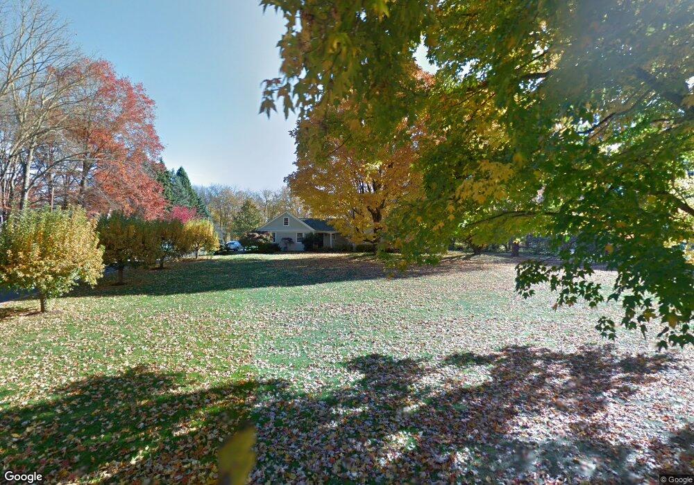
80 Brett Ln Fairfield, CT 06824
Greenfield Hill NeighborhoodEstimated Value: $1,603,000 - $1,877,000
5
Beds
4
Baths
3,995
Sq Ft
$439/Sq Ft
Est. Value
About This Home
This home is located at 80 Brett Ln, Fairfield, CT 06824 and is currently estimated at $1,752,054, approximately $438 per square foot. 80 Brett Ln is a home located in Fairfield County with nearby schools including Burr Elementary School, Tomlinson Middle School, and Fairfield Warde High School.
Ownership History
Date
Name
Owned For
Owner Type
Purchase Details
Closed on
Mar 13, 1998
Sold by
Reinhart Marion L Est
Bought by
Simonds Charles M
Current Estimated Value
Create a Home Valuation Report for This Property
The Home Valuation Report is an in-depth analysis detailing your home's value as well as a comparison with similar homes in the area
Home Values in the Area
Average Home Value in this Area
Purchase History
| Date | Buyer | Sale Price | Title Company |
|---|---|---|---|
| Simonds Charles M | $309,500 | -- | |
| Simonds Charles M | $309,500 | -- | |
| Simonds Charles M | $309,500 | -- |
Source: Public Records
Mortgage History
| Date | Status | Borrower | Loan Amount |
|---|---|---|---|
| Open | Simonds Charles M | $650,000 | |
| Closed | Simonds Charles M | $645,000 | |
| Closed | Simonds Charles M | $645,000 |
Source: Public Records
Tax History Compared to Growth
Tax History
| Year | Tax Paid | Tax Assessment Tax Assessment Total Assessment is a certain percentage of the fair market value that is determined by local assessors to be the total taxable value of land and additions on the property. | Land | Improvement |
|---|---|---|---|---|
| 2025 | $19,489 | $686,490 | $310,660 | $375,830 |
| 2024 | $19,153 | $686,490 | $310,660 | $375,830 |
| 2023 | $18,885 | $686,490 | $310,660 | $375,830 |
| 2022 | $18,700 | $686,490 | $310,660 | $375,830 |
| 2021 | $18,522 | $686,490 | $310,660 | $375,830 |
| 2020 | $18,841 | $703,290 | $300,370 | $402,920 |
| 2019 | $18,841 | $703,290 | $300,370 | $402,920 |
| 2018 | $18,539 | $703,290 | $300,370 | $402,920 |
| 2017 | $4,980 | $703,290 | $300,370 | $402,920 |
| 2016 | $17,899 | $703,290 | $300,370 | $402,920 |
| 2015 | $17,946 | $723,940 | $333,550 | $390,390 |
| 2014 | $17,664 | $723,940 | $333,550 | $390,390 |
Source: Public Records
Map
Nearby Homes
- 22 Brett Rd
- 4800 Congress St
- 180 Catamount Rd
- 200 Long Meadow Rd
- 2281 Redding Rd
- 101 Brambley Hedge Cir
- 312 Towne House Rd
- 88 Merry Meet Cir
- 11 Judges Hollow Rd
- 212 Fence Row Dr
- 1375 Westport Turnpike
- 2959 Congress St
- 18 Hunt Ln
- 85-95 Old Easton Turnpike
- 14 Codfish Ln
- 1 Greenlea Ln
- 3 Mayflower Ln
- 319 Bayberry Ln
- 2683 Bronson Rd
- 9 Greenbrier Rd