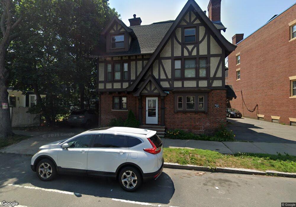
80 Broad St Unit 82 Lynn, MA 01902
Diamond District NeighborhoodEstimated Value: $238,000 - $309,000
1
Bed
1
Bath
727
Sq Ft
$384/Sq Ft
Est. Value
About This Home
This home is located at 80 Broad St Unit 82, Lynn, MA 01902 and is currently estimated at $278,985, approximately $383 per square foot. 80 Broad St Unit 82 is a home located in Essex County with nearby schools including E.J. Harrington School, William R. Fallon School, and Marshall Middle School.
Ownership History
Date
Name
Owned For
Owner Type
Purchase Details
Closed on
Dec 28, 2012
Sold by
Mhfa
Bought by
Bogomolov Kathleen M
Current Estimated Value
Purchase Details
Closed on
Nov 21, 2012
Sold by
Touch Boly
Bought by
Mhfa
Purchase Details
Closed on
Nov 30, 2004
Sold by
Broad Lynn Llc
Bought by
Arunson Vandy and Touch Boly
Home Financials for this Owner
Home Financials are based on the most recent Mortgage that was taken out on this home.
Original Mortgage
$206,625
Interest Rate
5.75%
Mortgage Type
Purchase Money Mortgage
Create a Home Valuation Report for This Property
The Home Valuation Report is an in-depth analysis detailing your home's value as well as a comparison with similar homes in the area
Home Values in the Area
Average Home Value in this Area
Purchase History
| Date | Buyer | Sale Price | Title Company |
|---|---|---|---|
| Bogomolov Kathleen M | $92,500 | -- | |
| Mhfa | $68,000 | -- | |
| Mhfa | $68,000 | -- | |
| Arunson Vandy | $217,500 | -- | |
| Arunson Vandy | $217,500 | -- |
Source: Public Records
Mortgage History
| Date | Status | Borrower | Loan Amount |
|---|---|---|---|
| Previous Owner | Arunson Vandy | $206,625 |
Source: Public Records
Tax History Compared to Growth
Tax History
| Year | Tax Paid | Tax Assessment Tax Assessment Total Assessment is a certain percentage of the fair market value that is determined by local assessors to be the total taxable value of land and additions on the property. | Land | Improvement |
|---|---|---|---|---|
| 2025 | $2,754 | $265,800 | $0 | $265,800 |
| 2024 | $2,633 | $250,000 | $0 | $250,000 |
| 2023 | $3,095 | $277,600 | $0 | $277,600 |
| 2022 | $3,001 | $241,400 | $0 | $241,400 |
| 2021 | $2,977 | $228,500 | $0 | $228,500 |
| 2020 | $2,503 | $186,800 | $0 | $186,800 |
| 2019 | $2,510 | $175,500 | $0 | $175,500 |
| 2018 | $2,310 | $166,200 | $0 | $166,200 |
| 2017 | $2,304 | $147,700 | $0 | $147,700 |
| 2016 | $2,281 | $141,000 | $0 | $141,000 |
| 2015 | $2,072 | $123,700 | $0 | $123,700 |
Source: Public Records
Map
Nearby Homes
- 13 Nahant St Unit 3A
- 13 Nahant St Unit 2B
- 13 Nahant St Unit 2C
- 13 Nahant St Unit 4D
- 13 Portland St Unit 4
- 62 Estes St Unit 2
- 39 Newhall St
- 229 Lewis St
- 38 Chestnut St
- 95 Nahant St Unit 4
- 74 Newhall St Unit 9
- 17 Wave St
- 119 Nahant St Unit 1
- 13-15 Amity St
- 7 Central Square Unit 203
- 300 Lynn Shore Dr Unit 807
- 300 Lynn Shore Dr Unit 701
- 300 Lynn Shore Dr Unit 612
- 300 Lynn Shore Dr Unit 1006
- 300 Lynn Shore Dr Unit 210
- 80 Broad St Unit 82
- 80 Broad St Unit 82
- 80 Broad St Unit 82
- 80 Broad St Unit 82
- 80 Broad St Unit 1
- 80 Broad St Unit 2
- 80 Broad St Unit 3
- 80 Broad St Unit 5
- 72 Broad St Unit 1
- 72 Broad St Unit 74
- 80-82 Broad St Unit 2
- 80-82 Broad St Unit 4
- 80-82 Broad St Unit 5
- 80-82 Broad St Unit 1
- 82 Broad St Unit 2
- 68-70 Broad St Unit 2
- 68-70 Broad St Unit 3-F
- 68 Broad St Unit 70
- 10 Nahant St Unit 3
- 10 Nahant St Unit 2R