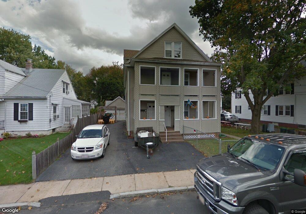
80 Calumet Rd Unit 82 Holyoke, MA 01040
Estimated Value: $344,228 - $438,000
8
Beds
4
Baths
2,999
Sq Ft
$126/Sq Ft
Est. Value
About This Home
This home is located at 80 Calumet Rd Unit 82, Holyoke, MA 01040 and is currently estimated at $378,057, approximately $126 per square foot. 80 Calumet Rd Unit 82 is a home located in Hampden County with nearby schools including Lt. Clayre Sullivan Elementary School, Holyoke High School, and Holyoke Community Charter School.
Ownership History
Date
Name
Owned For
Owner Type
Purchase Details
Closed on
Oct 11, 1995
Sold by
Island Int
Bought by
King Garry S and King Marlene A
Current Estimated Value
Home Financials for this Owner
Home Financials are based on the most recent Mortgage that was taken out on this home.
Original Mortgage
$107,848
Interest Rate
7.71%
Mortgage Type
Purchase Money Mortgage
Create a Home Valuation Report for This Property
The Home Valuation Report is an in-depth analysis detailing your home's value as well as a comparison with similar homes in the area
Home Values in the Area
Average Home Value in this Area
Purchase History
| Date | Buyer | Sale Price | Title Company |
|---|---|---|---|
| King Garry S | $109,000 | -- |
Source: Public Records
Mortgage History
| Date | Status | Borrower | Loan Amount |
|---|---|---|---|
| Open | King Garry S | $120,967 | |
| Closed | King Garry S | $105,547 | |
| Closed | King Garry S | $107,848 |
Source: Public Records
Tax History Compared to Growth
Tax History
| Year | Tax Paid | Tax Assessment Tax Assessment Total Assessment is a certain percentage of the fair market value that is determined by local assessors to be the total taxable value of land and additions on the property. | Land | Improvement |
|---|---|---|---|---|
| 2025 | $5,399 | $309,200 | $47,600 | $261,600 |
| 2024 | $5,065 | $267,300 | $45,500 | $221,800 |
| 2023 | $5,015 | $267,300 | $45,500 | $221,800 |
| 2022 | $5,036 | $261,500 | $45,500 | $216,000 |
| 2021 | $4,432 | $230,000 | $41,500 | $188,500 |
| 2020 | $4,182 | $219,200 | $41,500 | $177,700 |
| 2019 | $3,981 | $206,400 | $41,500 | $164,900 |
| 2018 | $3,839 | $200,700 | $41,500 | $159,200 |
| 2017 | $3,847 | $200,700 | $41,500 | $159,200 |
| 2016 | $3,734 | $195,300 | $42,600 | $152,700 |
| 2015 | $3,719 | $195,300 | $42,600 | $152,700 |
Source: Public Records
Map
Nearby Homes
- 1793 Northampton St
- 43 King St
- 70-72 Westfield Rd
- 55 Hitchcock St
- 78 Hitchcock St
- 1678 Northampton St
- 155 Huron Ave
- 43 Woods Ave
- 9-11 Oakwood Ave
- 10 Humeston Slope
- 1657 Northampton St
- 201 Locust St
- 16 Charles St
- 56 Laurel St
- 29-31 Brown Ave
- 44 Laurel St
- 34 Maple Crest Cir Unit D
- 33 Maple Crest Cir Unit D
- 7 Maple Crest Cir Unit E
- 25 W Glen St
- 86 Calumet Rd Unit 88
- 78 Calumet Rd
- 19 Arnodale Ave Unit 21
- 19-21 Arnodale Ave
- 79 Calumet Rd
- 75 Calumet Rd
- 70 Calumet Rd
- 85 Calumet Rd Unit 87
- 85-87 Calumet Rd
- 61 Bay State Rd
- 71 Calumet Rd
- 36 Arnodale Ave
- 34 Arnodale Ave
- 38 Arnodale Ave
- 66 Calumet Rd
- 85 S Bay State Rd
- 65 Calumet Rd Unit 67
- 65-67 Calumet Rd
- 80 S Bay State Rd
- 40 Arnodale Ave