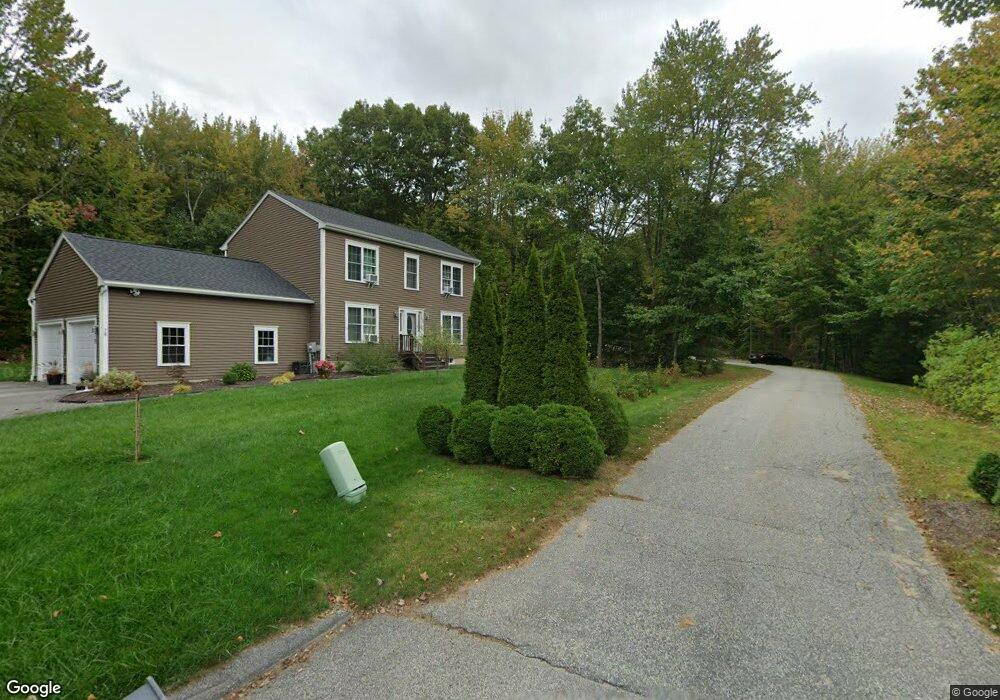
80 Charter Way Auburn, ME 04210
Estimated Value: $475,000 - $585,000
--
Bed
1
Bath
2,016
Sq Ft
$257/Sq Ft
Est. Value
About This Home
This home is located at 80 Charter Way, Auburn, ME 04210 and is currently estimated at $517,681, approximately $256 per square foot. 80 Charter Way is a home with nearby schools including Sherwood Heights Elementary School, Auburn Middle School, and Edward Little High School.
Ownership History
Date
Name
Owned For
Owner Type
Purchase Details
Closed on
Jun 29, 2010
Sold by
Fortin Const Inc
Bought by
Irish Michael J and Irish Sandra L
Current Estimated Value
Home Financials for this Owner
Home Financials are based on the most recent Mortgage that was taken out on this home.
Original Mortgage
$250,381
Outstanding Balance
$172,738
Interest Rate
5.5%
Mortgage Type
FHA
Estimated Equity
$344,943
Create a Home Valuation Report for This Property
The Home Valuation Report is an in-depth analysis detailing your home's value as well as a comparison with similar homes in the area
Home Values in the Area
Average Home Value in this Area
Purchase History
| Date | Buyer | Sale Price | Title Company |
|---|---|---|---|
| Irish Michael J | -- | -- |
Source: Public Records
Mortgage History
| Date | Status | Borrower | Loan Amount |
|---|---|---|---|
| Open | Irish Michael J | $250,381 |
Source: Public Records
Tax History Compared to Growth
Tax History
| Year | Tax Paid | Tax Assessment Tax Assessment Total Assessment is a certain percentage of the fair market value that is determined by local assessors to be the total taxable value of land and additions on the property. | Land | Improvement |
|---|---|---|---|---|
| 2024 | $7,242 | $325,500 | $57,600 | $267,900 |
| 2023 | $6,584 | $289,400 | $51,200 | $238,200 |
| 2022 | $6,584 | $289,400 | $51,200 | $238,200 |
| 2021 | $5,750 | $241,400 | $42,700 | $198,700 |
| 2020 | $5,733 | $241,400 | $42,700 | $198,700 |
| 2019 | $5,733 | $241,400 | $42,700 | $198,700 |
| 2018 | $5,700 | $240,700 | $42,700 | $198,000 |
| 2017 | $4,612 | $220,600 | $42,700 | $177,900 |
| 2016 | $4,930 | $220,600 | $42,700 | $177,900 |
| 2015 | $4,475 | $220,600 | $42,700 | $177,900 |
| 2013 | -- | $220,600 | $42,700 | $177,900 |
Source: Public Records
Map
Nearby Homes
- 15 Country Club Dr
- 114 Garden Cir
- 14 Harvest Hill Ln Unit 1
- 16 Harvest Hill Ln Unit 2
- 730 Beech Hill Rd
- 20 Brandywine Cir
- 46 Club House Ln Unit 9
- 139 Fletcher Rd
- 3 Freedom Farm Rd Unit 4
- 3 Freedom Farm Rd Unit 3
- 10 Spring Valley Ln
- 1711 Hotel Rd
- 535 S Witham Rd
- lot 11 Minot Ave
- 867 Minot Ave
- 863 Minot Ave
- 4 Arbania St
- 560 Broad St
- 4 Carson St
- 14 Mckinnon St
- 78 Charter Way
- 204 E Hardscrabble Rd
- 79 Charter Way
- 214 E Hardscrabble Rd
- 176 Garden Cir
- 186 E Hardscrabble Rd
- 54 Charter Way
- 156 Garden Cir
- 0 E Hardscrabble Rd
- 0 E Hardscrabble Rd
- 228 E Hardscrabble Rd
- 0 Brentwood Dr
- 180 E Hardscrabble Rd
- 5 Brentwood Dr
- 44 Charter Way
- 242 E Hardscrabble Rd
- 148 Garden Cir
- 189 E Hardscrabble Rd
- 75 Charter Way
- 65 Charter Way