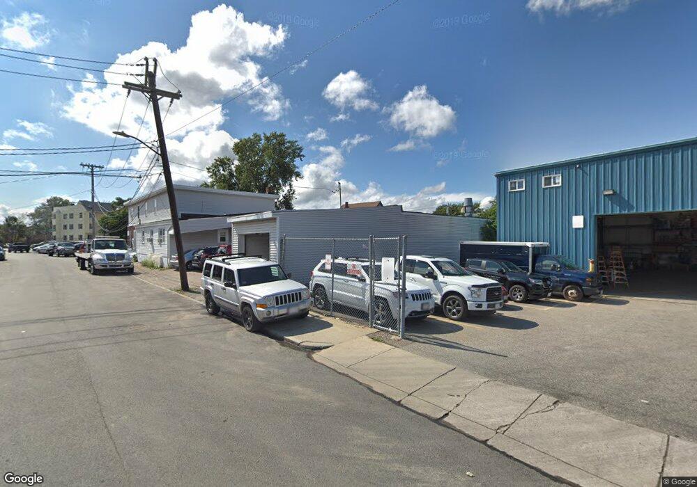
80 Christopher St Boston, MA 02122
Fields Corner East Neighborhood
--
Bed
--
Bath
8,022
Sq Ft
0.55
Acres
About This Home
This home is located at 80 Christopher St, Boston, MA 02122. 80 Christopher St is a home located in Suffolk County with nearby schools including Neighborhood House Charter School and Helen Y. Davis Leadership Academy Charter Public School.
Ownership History
Date
Name
Owned For
Owner Type
Purchase Details
Closed on
Jan 11, 2005
Sold by
Politano John R
Bought by
Christopher St Rt
Home Financials for this Owner
Home Financials are based on the most recent Mortgage that was taken out on this home.
Original Mortgage
$700,000
Outstanding Balance
$353,419
Interest Rate
5.75%
Mortgage Type
Commercial
Purchase Details
Closed on
Jan 7, 1998
Sold by
Politano John R
Bought by
Politano John R
Create a Home Valuation Report for This Property
The Home Valuation Report is an in-depth analysis detailing your home's value as well as a comparison with similar homes in the area
Home Values in the Area
Average Home Value in this Area
Purchase History
| Date | Buyer | Sale Price | Title Company |
|---|---|---|---|
| Christopher St Rt | -- | -- | |
| Politano John R | $300,000 | -- |
Source: Public Records
Mortgage History
| Date | Status | Borrower | Loan Amount |
|---|---|---|---|
| Open | Christopher St Rt | $700,000 |
Source: Public Records
Tax History Compared to Growth
Tax History
| Year | Tax Paid | Tax Assessment Tax Assessment Total Assessment is a certain percentage of the fair market value that is determined by local assessors to be the total taxable value of land and additions on the property. | Land | Improvement |
|---|---|---|---|---|
| 2025 | $20,088 | $773,800 | $415,000 | $358,800 |
| 2024 | $19,554 | $773,800 | $415,000 | $358,800 |
| 2023 | $19,097 | $773,800 | $415,000 | $358,800 |
| 2022 | $18,668 | $747,300 | $415,000 | $332,300 |
| 2021 | $17,445 | $710,600 | $397,800 | $312,800 |
| 2020 | $16,819 | $674,900 | $397,800 | $277,100 |
| 2019 | $14,953 | $598,100 | $422,600 | $175,500 |
| 2018 | $14,261 | $565,900 | $405,400 | $160,500 |
| 2017 | $13,614 | $536,600 | $384,200 | $152,400 |
| 2016 | $13,075 | $487,700 | $349,700 | $138,000 |
| 2015 | $13,520 | $458,000 | $313,300 | $144,700 |
| 2014 | $13,186 | $422,900 | $278,900 | $144,000 |
Source: Public Records
Map
Nearby Homes
- 32 Gibson St Unit 3
- 382 Adams St Unit 384-1
- 381 Adams St Unit 2
- 381 Adams St Unit 1
- 381 Adams St Unit 3
- 20 Parkman St Unit 2
- 20 Leslie St
- 34 Dix St Unit 3
- 32 Beach St Unit 1
- 28 Dix St Unit 3
- 6 Agawam St
- 15 Duncan St
- 17 Lafield St Unit 2
- 334 Centre St Unit 101
- 334 Centre St Unit 2
- 1613 Dorchester Ave Unit 1
- 9 Park St Unit 8
- 34 Houghton St
- 104 King St Unit 2
- 96 King St Unit 1
- 88A Park St
- 75 Christopher St
- 75 Christopher St Unit 2
- 88 Park St
- 84 Park St
- 84 Park St Unit 15
- 84 Park St Unit A
- 84 Park St Unit B
- 84 Park St Unit 5
- 84 Park St Unit 86
- 90 Park St
- 11 Presley Rd
- 76 Christopher St
- 92 Park St
- 9 Presley Rd
- 320 Adams St
- 111 Oneone Ave Unit 1
- 5 Presley Rd
- 93 Park St Unit 95R
- 81 Park St Unit 83